Estimated Value: $644,000 - $766,000
3
Beds
2
Baths
2,229
Sq Ft
$304/Sq Ft
Est. Value
About This Home
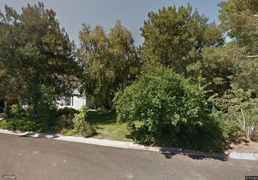
This home is located at 361 Dicky Dr, Eagle, ID 83616 and is currently estimated at $678,697, approximately $304 per square foot. 361 Dicky Dr is a home located in Ada County with nearby schools including Seven Oaks Elementary School, Eagle Middle School, and Eagle High School.
Ownership History
Date
Name
Owned For
Owner Type
Purchase Details
Closed on
Jun 7, 2019
Sold by
Conrad R Nill Living Trust
Bought by
Jones Brandon and Jones Sally
Current Estimated Value
Home Financials for this Owner
Home Financials are based on the most recent Mortgage that was taken out on this home.
Original Mortgage
$222,000
Interest Rate
4.1%
Mortgage Type
New Conventional
Purchase Details
Closed on
Jul 18, 2016
Sold by
Nill Conrad R
Bought by
Nill Conrad R and Ivie Stewart Frazier
Purchase Details
Closed on
Jun 8, 2011
Sold by
Nill Sharon R
Bought by
Nill Conrad R
Home Financials for this Owner
Home Financials are based on the most recent Mortgage that was taken out on this home.
Original Mortgage
$100,000
Interest Rate
4.55%
Mortgage Type
New Conventional
Purchase Details
Closed on
Feb 17, 1999
Sold by
Nill Sharon R
Bought by
Nill Conrad
Create a Home Valuation Report for This Property
The Home Valuation Report is an in-depth analysis detailing your home's value as well as a comparison with similar homes in the area
Home Values in the Area
Average Home Value in this Area
Purchase History
| Date | Buyer | Sale Price | Title Company |
|---|---|---|---|
| Jones Brandon | -- | First American Title Ins Co | |
| Nill Conrad R | -- | None Available | |
| Nill Conrad R | -- | Titleone Meridian | |
| Nill Conrad | -- | -- |
Source: Public Records
Mortgage History
| Date | Status | Borrower | Loan Amount |
|---|---|---|---|
| Closed | Jones Brandon | $222,000 | |
| Closed | Nill Conrad R | $100,000 |
Source: Public Records
Tax History
| Year | Tax Paid | Tax Assessment Tax Assessment Total Assessment is a certain percentage of the fair market value that is determined by local assessors to be the total taxable value of land and additions on the property. | Land | Improvement |
|---|---|---|---|---|
| 2025 | $1,625 | $614,400 | -- | -- |
| 2024 | $1,446 | $584,400 | -- | -- |
| 2023 | $1,859 | $537,900 | $0 | $0 |
| 2022 | $2,451 | $672,400 | $0 | $0 |
| 2021 | $2,463 | $534,900 | $0 | $0 |
| 2020 | $2,250 | $388,900 | $0 | $0 |
| 2019 | $2,467 | $358,900 | $0 | $0 |
| 2018 | $2,008 | $295,900 | $0 | $0 |
| 2017 | $1,927 | $277,700 | $0 | $0 |
| 2016 | $1,975 | $268,700 | $0 | $0 |
| 2015 | $1,340 | $212,300 | $0 | $0 |
| 2012 | -- | $190,800 | $0 | $0 |
Source: Public Records
Map
Nearby Homes
- 2248 E Sadie Dr
- 2531 E Skokie St
- 468 N Plainfield Ave
- 493 N Plainfield Ave
- 611 N Hiltonhead Way
- 2391 E Snocreek Dr
- 652 N Morning Glory Way
- 860 N Sevenoaks Ave
- 908 N Sevenoaks Ave
- 873 N Sevenoaks Ave
- 897 N Sevenoaks Ave
- 911 N Sevenoaks Ave
- 884 N Sevenoaks Ave
- 845 N Sevenoaks Ave
- 2343 E Monhegan Dr
- 2329 E Monhegan Dr
- 2315 E Monhegan Dr
- 698 N Morning Glory Way
- 65 N Wooddale Ave
- 89 S Firwood Ave
Your Personal Tour Guide
Ask me questions while you tour the home.