Estimated Value: $465,000 - $504,000
3
Beds
2
Baths
1,794
Sq Ft
$268/Sq Ft
Est. Value
About This Home
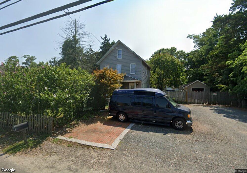
This home is located at 361 Drum Point Rd, Brick, NJ 08723 and is currently estimated at $480,395, approximately $267 per square foot. 361 Drum Point Rd is a home located in Ocean County with nearby schools including Osbornville Elementary School, Lake Riviera Middle School, and Brick Township High School.
Ownership History
Date
Name
Owned For
Owner Type
Purchase Details
Closed on
Mar 17, 2004
Sold by
Ross Sally and Linneman Florence
Bought by
Casey John
Current Estimated Value
Purchase Details
Closed on
Nov 17, 2003
Sold by
Kirsch Jenta
Bought by
Linneman Florence
Purchase Details
Closed on
Nov 14, 2003
Sold by
Kirsch Jenta
Bought by
Linneman Florence
Purchase Details
Closed on
Nov 24, 1998
Sold by
Lasalle National Bank
Bought by
Jones Betty L and Jones Meyers Sharon L
Purchase Details
Closed on
Jan 27, 1998
Sold by
Tolas Richard P
Bought by
Lasalle National Bank
Purchase Details
Closed on
Apr 7, 1994
Sold by
Marano Alfred
Bought by
Astra Developers Inc
Create a Home Valuation Report for This Property
The Home Valuation Report is an in-depth analysis detailing your home's value as well as a comparison with similar homes in the area
Home Values in the Area
Average Home Value in this Area
Purchase History
| Date | Buyer | Sale Price | Title Company |
|---|---|---|---|
| Casey John | $150,000 | Stewart Title Guaranty Co | |
| Linneman Florence | -- | -- | |
| Linneman Florence | -- | -- | |
| Jones Betty L | $70,000 | -- | |
| Lasalle National Bank | -- | -- | |
| Astra Developers Inc | $79,500 | -- |
Source: Public Records
Tax History
| Year | Tax Paid | Tax Assessment Tax Assessment Total Assessment is a certain percentage of the fair market value that is determined by local assessors to be the total taxable value of land and additions on the property. | Land | Improvement |
|---|---|---|---|---|
| 2025 | $5,582 | $216,100 | $121,500 | $94,600 |
| 2024 | $5,305 | $216,100 | $121,500 | $94,600 |
Source: Public Records
Map
Nearby Homes
- 299 Huppert Dr
- 22 Evelyn Ct
- 440 Drum Point Rd
- 118 Law-Win Ct
- 638 Ivanhoe Rd
- 9 Bayberry Ave
- 48 Birch Dr
- 19 Moholo Ct Unit 19
- 72 Baywood Blvd
- 79 Baywood Blvd
- 578 Kingfisher Cir
- 580 Kingfisher Cir
- 35 Hampton Rd
- 484 Bara St
- 592 Kingfisher Cir
- 0 Mantoloking Rd Unit 11584872
- 84 Woodland Dr
- 4 Mayfair Ct
- 683 Mantoloking Rd
- 165 Royal Dr
- 365 Drum Point Rd
- 357 Drum Point Rd
- 360 Drum Point Rd
- 293 Leswing Dr
- 356 Drum Point Rd
- 298 Leswing Dr
- 291 Leswing Dr
- 296 Leswing Dr
- 6 Poppy Ct
- 354 Drum Point Rd
- 372 Drum Point Rd
- 294 Leswing Dr
- 10 Poppy Ct
- 289 Leswing Dr
- 292 Leswing Dr
- 352 Drum Point Rd
- 14 Poppy Ct
- 290 Leswing Dr
- 287 Leswing Dr
- 350 Drum Point Rd
Your Personal Tour Guide
Ask me questions while you tour the home.