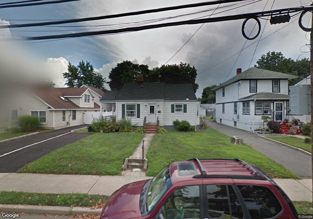
361 E Main St Manasquan, NJ 08736
Estimated Value: $957,572 - $1,212,000
3
Beds
1
Bath
1,359
Sq Ft
$771/Sq Ft
Est. Value
About This Home
This home is located at 361 E Main St, Manasquan, NJ 08736 and is currently estimated at $1,047,393, approximately $770 per square foot. 361 E Main St is a home located in Monmouth County with nearby schools including Manasquan Elementary School, Manasquan High School, and St. Catharine School.
Ownership History
Date
Name
Owned For
Owner Type
Purchase Details
Closed on
Oct 1, 1991
Bought by
Weisert Lee N
Current Estimated Value
Create a Home Valuation Report for This Property
The Home Valuation Report is an in-depth analysis detailing your home's value as well as a comparison with similar homes in the area
Home Values in the Area
Average Home Value in this Area
Purchase History
| Date | Buyer | Sale Price | Title Company |
|---|---|---|---|
| Weisert Lee N | $100 | -- |
Source: Public Records
Tax History Compared to Growth
Tax History
| Year | Tax Paid | Tax Assessment Tax Assessment Total Assessment is a certain percentage of the fair market value that is determined by local assessors to be the total taxable value of land and additions on the property. | Land | Improvement |
|---|---|---|---|---|
| 2025 | $7,425 | $417,600 | $327,800 | $89,800 |
| 2024 | $7,145 | $417,600 | $327,800 | $89,800 |
| 2023 | $7,145 | $417,600 | $327,800 | $89,800 |
| 2022 | $6,869 | $417,600 | $327,800 | $89,800 |
| 2021 | $6,869 | $417,600 | $327,800 | $89,800 |
| 2020 | $6,782 | $417,600 | $327,800 | $89,800 |
| 2019 | $6,527 | $417,600 | $327,800 | $89,800 |
| 2018 | $6,381 | $417,600 | $327,800 | $89,800 |
| 2017 | $6,139 | $417,600 | $327,800 | $89,800 |
| 2016 | $5,976 | $417,600 | $327,800 | $89,800 |
| 2015 | $6,197 | $362,600 | $247,100 | $115,500 |
| 2014 | $6,190 | $362,600 | $247,100 | $115,500 |
Source: Public Records
Map
Nearby Homes
- 355 Cedar Ave
- 394 E Virginia Ave
- 80 Stockton Lake Blvd
- 116 Curtis Ave
- 75 2nd Ave
- 22 2nd Ave
- 207 4th Ave
- 130 Union Ave
- 329 Fisk Ave
- 507 Magnolia Ave
- 323-325 Fisk Ave
- 22 Woodland Ave
- 219 Neptune Place
- 34 Broad St Unit 306
- 217 Neptune Place
- 409 Sea Girt Ave
- 610 Agnes Ave
- 205 Stockton Blvd
- 542 Woodland Ave
- 508 Harris Ave