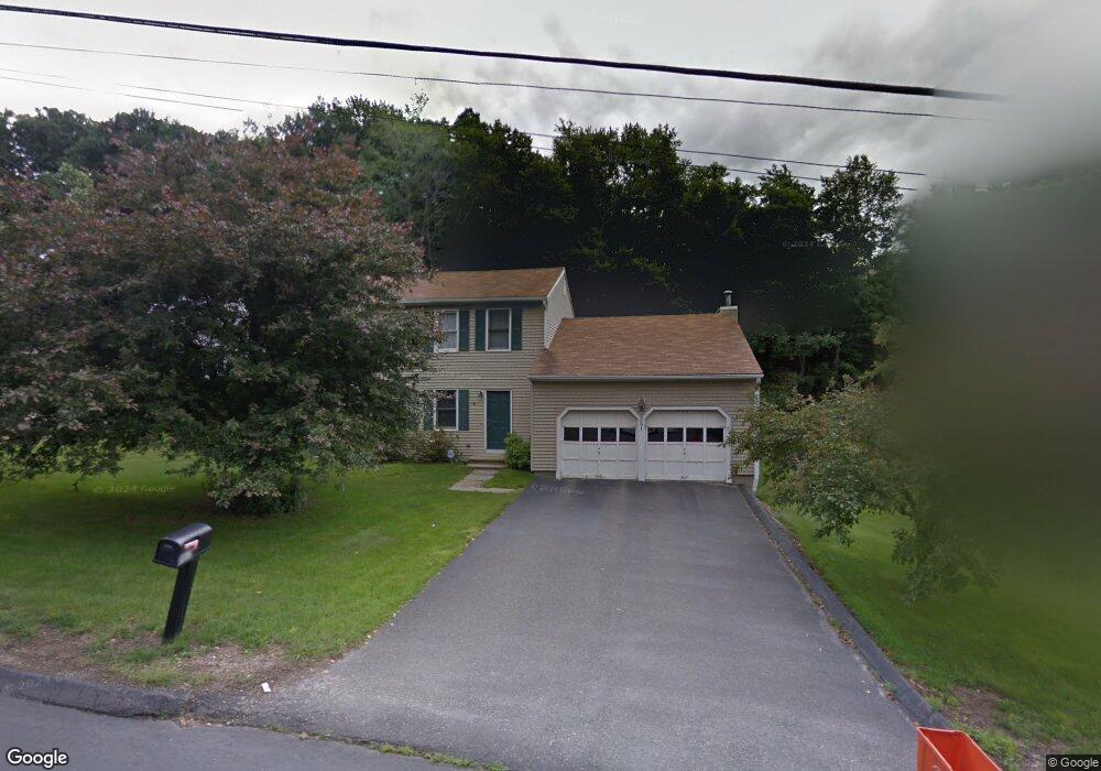
361 E Mountain Rd Waterbury, CT 06706
East Mountain NeighborhoodEstimated Value: $369,000 - $408,000
3
Beds
3
Baths
1,872
Sq Ft
$208/Sq Ft
Est. Value
About This Home
This home is located at 361 E Mountain Rd, Waterbury, CT 06706 and is currently estimated at $388,790, approximately $207 per square foot. 361 E Mountain Rd is a home located in New Haven County with nearby schools including Wendell L. Cross PreK-8 School, Michael F. Wallace Middle School, and Crosby High School.
Ownership History
Date
Name
Owned For
Owner Type
Purchase Details
Closed on
Sep 16, 2005
Sold by
Remmert Michael J
Bought by
Hall Michael and Hall Sylvia
Current Estimated Value
Home Financials for this Owner
Home Financials are based on the most recent Mortgage that was taken out on this home.
Original Mortgage
$245,057
Outstanding Balance
$131,024
Interest Rate
5.84%
Mortgage Type
VA
Estimated Equity
$257,766
Purchase Details
Closed on
Jun 7, 1989
Sold by
Fusco Anthony P
Bought by
Graziano Mark
Home Financials for this Owner
Home Financials are based on the most recent Mortgage that was taken out on this home.
Original Mortgage
$150,000
Interest Rate
10.93%
Mortgage Type
Purchase Money Mortgage
Create a Home Valuation Report for This Property
The Home Valuation Report is an in-depth analysis detailing your home's value as well as a comparison with similar homes in the area
Home Values in the Area
Average Home Value in this Area
Purchase History
| Date | Buyer | Sale Price | Title Company |
|---|---|---|---|
| Hall Michael | $239,900 | -- | |
| Graziano Mark | $173,000 | -- |
Source: Public Records
Mortgage History
| Date | Status | Borrower | Loan Amount |
|---|---|---|---|
| Open | Graziano Mark | $245,057 | |
| Previous Owner | Graziano Mark | $134,233 | |
| Previous Owner | Graziano Mark | $142,400 | |
| Previous Owner | Graziano Mark | $150,000 |
Source: Public Records
Tax History
| Year | Tax Paid | Tax Assessment Tax Assessment Total Assessment is a certain percentage of the fair market value that is determined by local assessors to be the total taxable value of land and additions on the property. | Land | Improvement |
|---|---|---|---|---|
| 2025 | $9,641 | $214,340 | $23,030 | $191,310 |
| 2024 | $10,597 | $214,340 | $23,030 | $191,310 |
| 2023 | $11,615 | $214,340 | $23,030 | $191,310 |
| 2022 | $8,049 | $133,680 | $23,010 | $110,670 |
| 2021 | $8,049 | $133,680 | $23,010 | $110,670 |
| 2020 | $8,049 | $133,680 | $23,010 | $110,670 |
| 2019 | $8,049 | $133,680 | $23,010 | $110,670 |
| 2018 | $8,049 | $133,680 | $23,010 | $110,670 |
| 2017 | $7,645 | $126,970 | $23,010 | $103,960 |
| 2016 | $7,645 | $126,970 | $23,010 | $103,960 |
| 2015 | $7,392 | $126,970 | $23,010 | $103,960 |
| 2014 | $7,392 | $126,970 | $23,010 | $103,960 |
Source: Public Records
Map
Nearby Homes
- 147 Sprucedale Dr
- 508 E Mountain Rd
- 20 Quarry Hill Rd
- 89 Rockledge Dr
- 263 Purdy Rd
- 891 Pearl Lake Rd
- 947 Pearl Lake Rd
- 335 Raymond St
- 12 Woodedge Ave
- 88 Brookview Ave
- 425 Piedmont St
- 00 Milton Ave
- 0372 Floyd St
- 41L Floyd St
- 0039 Floyd St
- 46 Bracewood Rd
- 470 Sylvan Ave
- 43 Bateswood Rd
- 18 Olivia Ln
- 35 Mountain Village Rd Unit 30
- 367 E Mountain Rd
- 353 E Mountain Rd
- 345 E Mountain Rd
- 350 E Mountain Rd
- 374 E Mountain Rd
- 344 E Mountain Rd
- 332 E Mountain Rd
- 70 Sprucedale Dr
- 321 E Mountain Rd
- 62 Sprucedale Dr
- 138 Tanglewood Rd
- 7 Westport Dr
- 146 Tanglewood Rd
- 130 Tanglewood Rd
- 54 Sprucedale Dr
- 108 Tanglewood Rd
- 80 Sprucedale Dr
- 171 Shadybrook Ln
- 137 Tanglewood Rd
- 176 Shadybrook Ln
Your Personal Tour Guide
Ask me questions while you tour the home.