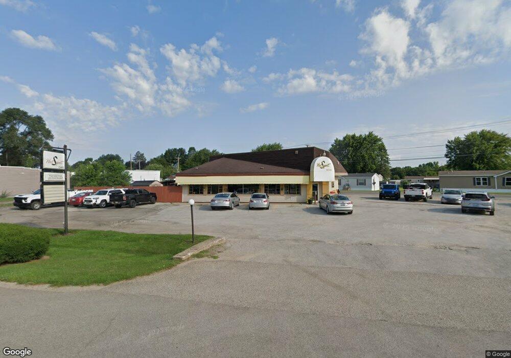
361 E Saint Joseph St Coloma, MI 49038
Estimated Value: $155,325
--
Bed
--
Bath
2,375
Sq Ft
$65/Sq Ft
Est. Value
About This Home
This home is located at 361 E Saint Joseph St, Coloma, MI 49038 and is currently estimated at $155,325, approximately $65 per square foot. 361 E Saint Joseph St is a home located in Berrien County with nearby schools including Coloma Elementary School, Coloma Intermediate School, and Coloma Junior High School.
Ownership History
Date
Name
Owned For
Owner Type
Purchase Details
Closed on
Apr 25, 2023
Sold by
Hotspot Properties Llc
Bought by
Southwestern Michigan Enterprises Llc
Current Estimated Value
Purchase Details
Closed on
Apr 19, 2002
Purchase Details
Closed on
Mar 16, 2002
Purchase Details
Closed on
Mar 13, 2001
Purchase Details
Closed on
Feb 26, 2001
Purchase Details
Closed on
Feb 27, 1997
Purchase Details
Closed on
Feb 22, 1997
Purchase Details
Closed on
May 14, 1992
Purchase Details
Closed on
Mar 2, 1992
Purchase Details
Closed on
Jun 30, 1986
Purchase Details
Closed on
Aug 29, 1981
Purchase Details
Closed on
Aug 19, 1981
Create a Home Valuation Report for This Property
The Home Valuation Report is an in-depth analysis detailing your home's value as well as a comparison with similar homes in the area
Home Values in the Area
Average Home Value in this Area
Purchase History
| Date | Buyer | Sale Price | Title Company |
|---|---|---|---|
| Southwestern Michigan Enterprises Llc | $130,000 | Chicago Title | |
| -- | $115,000 | -- | |
| -- | -- | -- | |
| -- | $100,000 | -- | |
| -- | $100 | -- | |
| -- | $100 | -- | |
| -- | $67,000 | -- | |
| -- | $125,000 | -- | |
| -- | $125,000 | -- | |
| -- | -- | -- | |
| -- | $275,000 | -- | |
| -- | -- | -- | |
| -- | $167,000 | -- |
Source: Public Records
Tax History Compared to Growth
Tax History
| Year | Tax Paid | Tax Assessment Tax Assessment Total Assessment is a certain percentage of the fair market value that is determined by local assessors to be the total taxable value of land and additions on the property. | Land | Improvement |
|---|---|---|---|---|
| 2025 | $4,246 | $75,700 | $0 | $0 |
| 2024 | $2,366 | $73,900 | $0 | $0 |
| 2023 | $2,049 | $70,000 | $0 | $0 |
| 2022 | $1,951 | $63,600 | $0 | $0 |
| 2021 | $3,441 | $58,700 | $20,200 | $38,500 |
| 2020 | $3,647 | $61,200 | $0 | $0 |
| 2019 | $3,699 | $69,100 | $20,200 | $48,900 |
| 2018 | $3,598 | $69,100 | $0 | $0 |
| 2017 | $3,429 | $69,300 | $0 | $0 |
| 2016 | $3,387 | $62,600 | $0 | $0 |
| 2015 | $3,373 | $61,700 | $0 | $0 |
| 2014 | $1,834 | $58,500 | $0 | $0 |
Source: Public Records
Map
Nearby Homes
- 254 E Center St
- 274 E Logan St
- 236 E Saint Joseph St
- 189 Banks St
- 6582 Ryno Rd
- 3190/3198 Prospect St
- 6754 Paw Ave
- 153 Ryno Rd
- 260 W Saint Joseph St
- 4500 Wil-O-paw Dr
- 6307 Wilson St
- 0 Wilson St
- 7039 Curtis Dr
- 0 Defield Rd
- 4557 Douglas Terrace
- 7197 Paw Ave Unit (West)
- 7197 Paw Ave Unit East
- 6950 Shore Dr
- 0 Mountain Rd
- 7452 Red Arrow Hwy
- 451 E Saint Joseph St
- 336 E Center St
- 6545 E Center St Unit 12B
- 6545 E Center St
- 330 E Center St
- 6560 Red Arrow Hwy
- 321 E Center St
- Red Arrow Red Arrow Hwy
- 123 Sassafrass St
- 135 Sassafrass St
- 0 E Center St
- 6619 E Center St
- 292 E Center St
- 147 Sassafrass St
- 293 E Center St
- 174 Sassafrass St
- 6500 Red Arrow Hwy
- 276 E Center St
- 161 Sassafrass St
- 285 E Center St