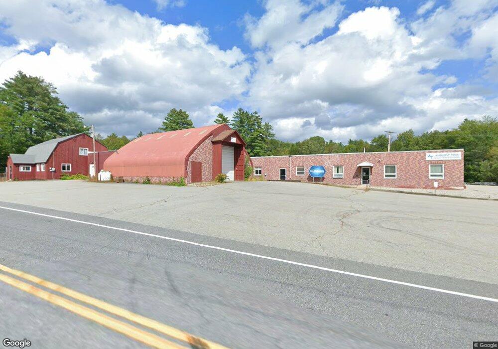
361 Forest Rd Wilton, NH 03086
Estimated Value: $1,037,978
Studio
--
Bath
37,243
Sq Ft
$28/Sq Ft
Est. Value
About This Home
This home is located at 361 Forest Rd, Wilton, NH 03086 and is currently estimated at $1,037,978, approximately $27 per square foot. 361 Forest Rd is a home located in Hillsborough County with nearby schools including Florence Rideout Elementary School, Wilton-Lyndeborough Cooperative Middle School, and Wilton-Lyndeborough Cooperative High School.
Ownership History
Date
Name
Owned For
Owner Type
Purchase Details
Closed on
Mar 10, 2021
Sold by
Jerry W Greene Ret
Bought by
7 Northern Blvd Rlty Llc
Current Estimated Value
Home Financials for this Owner
Home Financials are based on the most recent Mortgage that was taken out on this home.
Original Mortgage
$500,000
Outstanding Balance
$444,123
Interest Rate
2.7%
Mortgage Type
Purchase Money Mortgage
Estimated Equity
$593,855
Purchase Details
Closed on
Apr 7, 1997
Sold by
Roeder George L and Roeder Natalie E
Bought by
Emery Rickey D
Home Financials for this Owner
Home Financials are based on the most recent Mortgage that was taken out on this home.
Original Mortgage
$46,481
Interest Rate
7.5%
Mortgage Type
Commercial
Create a Home Valuation Report for This Property
The Home Valuation Report is an in-depth analysis detailing your home's value as well as a comparison with similar homes in the area
Home Values in the Area
Average Home Value in this Area
Purchase History
| Date | Buyer | Sale Price | Title Company |
|---|---|---|---|
| 7 Northern Blvd Rlty Llc | $710,000 | None Available | |
| Emery Rickey D | $45,600 | -- |
Source: Public Records
Mortgage History
| Date | Status | Borrower | Loan Amount |
|---|---|---|---|
| Open | 7 Northern Blvd Rlty Llc | $500,000 | |
| Previous Owner | Emery Rickey D | $46,481 |
Source: Public Records
Tax History
| Year | Tax Paid | Tax Assessment Tax Assessment Total Assessment is a certain percentage of the fair market value that is determined by local assessors to be the total taxable value of land and additions on the property. | Land | Improvement |
|---|---|---|---|---|
| 2025 | $20,999 | $778,300 | $214,000 | $564,300 |
| 2024 | $19,431 | $781,300 | $214,000 | $567,300 |
| 2023 | $17,345 | $781,300 | $214,000 | $567,300 |
| 2022 | $16,142 | $781,300 | $214,000 | $567,300 |
| 2021 | $15,017 | $781,300 | $214,000 | $567,300 |
| 2020 | $24,805 | $844,000 | $161,900 | $682,100 |
| 2019 | $24,600 | $847,100 | $161,900 | $685,200 |
| 2018 | $24,363 | $847,100 | $161,900 | $685,200 |
| 2017 | $23,016 | $847,100 | $161,900 | $685,200 |
| 2016 | $22,313 | $847,100 | $161,900 | $685,200 |
| 2015 | $23,501 | $892,200 | $164,500 | $727,700 |
| 2014 | $23,019 | $892,200 | $164,500 | $727,700 |
| 2013 | $23,215 | $892,200 | $164,500 | $727,700 |
Source: Public Records
Map
Nearby Homes
- Lot 053 Holt Rd
- 58-6-2 Duggin Rd
- A 66 Burton Hwy
- 25 Burns Hill Rd
- 371 Burton Hwy
- 374 Burton Hwy
- 10 Whiting Hill Rd
- F88-9 McGettigan Rd
- F/88-5 McGettigan Rd
- F/88-4 McGettigan Rd
- 144 Putnam Hill Rd
- F88-10 McGettigan Rd
- Lots 4 & 7 Gibbons & Robbins Rd
- 123 Falcon Ridge Rd
- 589 Gibbons Hwy
- 302 Forest Rd
- 82 Wilton Rd Unit A
- 82 Wilton Rd Unit B
- 82 Wilton Rd Unit A & B
- 33 Falcon Ridge Rd Unit 33
Your Personal Tour Guide
Ask me questions while you tour the home.