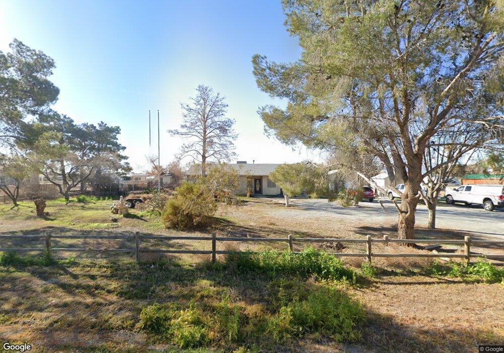
361 Jarvis Rd Unit 3 Pahrump, NV 89060
Estimated Value: $245,000 - $329,000
--
Bed
--
Bath
1,376
Sq Ft
$211/Sq Ft
Est. Value
About This Home
This home is located at 361 Jarvis Rd Unit 3, Pahrump, NV 89060 and is currently estimated at $290,341, approximately $211 per square foot. 361 Jarvis Rd Unit 3 is a home located in Nye County with nearby schools including Manse Elementary School, Rosemary Clarke Middle School, and Pahrump Valley High School.
Ownership History
Date
Name
Owned For
Owner Type
Purchase Details
Closed on
Feb 18, 2016
Sold by
Klein Charlotte R
Bought by
Klein Michael L
Current Estimated Value
Purchase Details
Closed on
Jan 24, 2011
Sold by
Bunker Stephen B and Bunker Sherry L
Bought by
Klein Charlotte R and Winn Richard E
Home Financials for this Owner
Home Financials are based on the most recent Mortgage that was taken out on this home.
Original Mortgage
$88,082
Interest Rate
4.82%
Mortgage Type
New Conventional
Create a Home Valuation Report for This Property
The Home Valuation Report is an in-depth analysis detailing your home's value as well as a comparison with similar homes in the area
Home Values in the Area
Average Home Value in this Area
Purchase History
| Date | Buyer | Sale Price | Title Company |
|---|---|---|---|
| Klein Michael L | -- | None Available | |
| Klein Charlotte R | $85,000 | North American Title |
Source: Public Records
Mortgage History
| Date | Status | Borrower | Loan Amount |
|---|---|---|---|
| Previous Owner | Klein Charlotte R | $88,082 |
Source: Public Records
Tax History Compared to Growth
Tax History
| Year | Tax Paid | Tax Assessment Tax Assessment Total Assessment is a certain percentage of the fair market value that is determined by local assessors to be the total taxable value of land and additions on the property. | Land | Improvement |
|---|---|---|---|---|
| 2025 | $980 | $45,364 | $5,702 | $39,662 |
| 2024 | $980 | $45,008 | $4,135 | $40,873 |
| 2023 | $980 | $40,730 | $4,135 | $36,595 |
| 2022 | $882 | $36,896 | $4,135 | $32,761 |
| 2021 | $860 | $35,224 | $3,308 | $31,916 |
| 2020 | $836 | $35,327 | $3,308 | $32,019 |
| 2019 | $811 | $39,763 | $3,308 | $36,455 |
| 2018 | $789 | $37,019 | $2,646 | $34,373 |
| 2017 | $767 | $30,016 | $2,646 | $27,370 |
| 2016 | $749 | $23,183 | $2,646 | $20,537 |
| 2015 | $747 | $21,569 | $2,646 | $18,923 |
| 2014 | $726 | $20,740 | $2,646 | $18,094 |
Source: Public Records
Map
Nearby Homes
- 421 Mcmurray Dr
- 451 W Leffner Dr
- 561 Jarvis Rd
- 521 W Simkins Rd
- 711 Jarvis Rd
- 351 Bunarch Rd
- 9221 N Blagg Rd
- 9031 N Blagg Rd
- 7601 N Blagg Rd
- 231 Bunarch Rd
- 541 Tomahawk Ct
- 511 Tomahawk Ct
- 681 Indian Wells Ct
- 3880 Zula Dr
- 800 Gally Rd
- 590 W Tomahawk Ct
- 421 Granite St
- 400 Granite St
- 380 Granite St
- 710 Tomahawk Ct
- 331 Jarvis Rd
- 391 Jarvis Rd
- 301 Jarvis Rd
- 421 Jarvis Rd
- 360 Jarvis Rd
- 390 Jarvis Rd
- 420 Mcmurray Dr
- 330 Mcmurray Dr
- 300 Jarvis Rd
- 451 Jarvis Rd
- 420 W Jarvis Rd
- 300 Mcmurray Dr
- 450 Jarvis Rd
- 450 Mcmurray Dr
- 231 Jarvis Rd Unit 3
- 260 Mcmurray Dr
- 361 Mcmurray Dr
- 391 Mcmurray Dr
- 480 Jarvis Rd
- 230 Mcmurray Dr