361 Lamborntown Rd West Grove, PA 19390
Estimated Value: $1,025,000 - $1,414,000
5
Beds
7
Baths
5,087
Sq Ft
$235/Sq Ft
Est. Value
About This Home
This home is located at 361 Lamborntown Rd, West Grove, PA 19390 and is currently estimated at $1,194,532, approximately $234 per square foot. 361 Lamborntown Rd is a home located in Chester County with nearby schools including Unionville Elementary School, Charles F. Patton Middle School, and Unionville High School.
Ownership History
Date
Name
Owned For
Owner Type
Purchase Details
Closed on
Mar 5, 2025
Sold by
Rodman W Moorhead Iii Revocable Trust and Moorhead Alice K
Bought by
Moorhead Alice K
Current Estimated Value
Purchase Details
Closed on
Jan 19, 2011
Sold by
Moorhead Alice K and Moorhead W R
Bought by
Moorhead Alice K and Moorhead W R
Create a Home Valuation Report for This Property
The Home Valuation Report is an in-depth analysis detailing your home's value as well as a comparison with similar homes in the area
Home Values in the Area
Average Home Value in this Area
Purchase History
| Date | Buyer | Sale Price | Title Company |
|---|---|---|---|
| Moorhead Alice K | -- | None Listed On Document | |
| Moorhead Alice K | -- | None Available |
Source: Public Records
Tax History Compared to Growth
Tax History
| Year | Tax Paid | Tax Assessment Tax Assessment Total Assessment is a certain percentage of the fair market value that is determined by local assessors to be the total taxable value of land and additions on the property. | Land | Improvement |
|---|---|---|---|---|
| 2025 | $14,646 | $470,350 | $91,540 | $378,810 |
| 2024 | $14,646 | $470,350 | $91,540 | $378,810 |
| 2023 | $14,182 | $470,350 | $91,540 | $378,810 |
| 2022 | $13,889 | $470,350 | $91,540 | $378,810 |
| 2021 | $13,551 | $470,350 | $91,540 | $378,810 |
| 2020 | $13,516 | $470,350 | $91,540 | $378,810 |
| 2019 | $13,154 | $470,350 | $91,540 | $378,810 |
| 2018 | $13,116 | $470,350 | $91,540 | $378,810 |
| 2017 | $12,842 | $470,350 | $91,540 | $378,810 |
| 2016 | $1,227 | $470,350 | $91,540 | $378,810 |
| 2015 | $1,227 | $470,350 | $91,540 | $378,810 |
| 2014 | $1,227 | $470,350 | $91,540 | $378,810 |
Source: Public Records
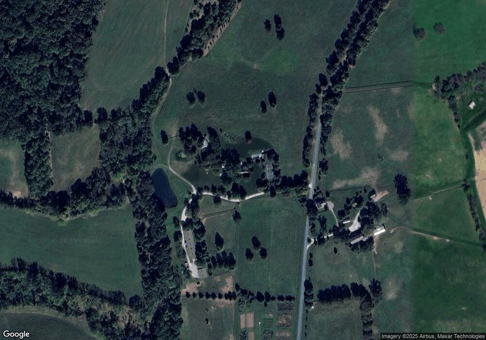
Map
Nearby Homes
- 645 Coatesville Rd
- 534 Coatesville Rd
- 2655 Gap Newport Pike
- 1025 N Chatham Rd
- 1321 N Chatham Rd
- 113 Ronway Dr
- 120 Funk Rd
- 380 Upland Rd
- 180 Springdell Rd
- 8 Williams Way
- 1269 Newark Rd
- 804 N Mill Rd
- 150 Springdell Rd
- 95 Gap Newport Pike
- 313 Church St
- 9 Tullow Hill Dr
- 15 Tullow Hill Dr
- 2295 Hilltop View Rd
- 13 Tullow Hill Dr
- 107 Foragers Ln
- 341 Lamborntown Rd
- 358 Lamborntown Rd
- 329 Lamborntown Rd
- 372 Lamborntown Rd
- 278 Clonmell Upland Rd
- 245 Clonmell Upland Rd
- 960 W Street Rd
- 287 Lamborntown Rd
- 254 Lamborntown Rd
- 605 Lambourne Rd
- 607 Lambourne Rd
- 612 Lambourne Rd
- 275 Clonmell Upland Rd
- 745 Street Rd
- 733 Street Rd
- 565 W Street Rd
- 273 Clonmell Upland Rd
- 725 Street Rd
- 565 Upland Rd
- 565 Upland Rd