Estimated Value: $936,000 - $1,240,085
2
Beds
4
Baths
2,219
Sq Ft
$491/Sq Ft
Est. Value
About This Home
This home is located at 361 N 1600 W Unit 21, Lehi, UT 84043 and is currently estimated at $1,090,362, approximately $491 per square foot. 361 N 1600 W Unit 21 is a home located in Utah County with nearby schools including River Rock Elementary, Willowcreek Middle School, and Lehi High School.
Ownership History
Date
Name
Owned For
Owner Type
Purchase Details
Closed on
Jun 3, 2021
Sold by
Felt Rita A and Felt Russell R
Bought by
Felt Rita A
Current Estimated Value
Home Financials for this Owner
Home Financials are based on the most recent Mortgage that was taken out on this home.
Original Mortgage
$175,000
Outstanding Balance
$158,441
Interest Rate
2.9%
Mortgage Type
New Conventional
Estimated Equity
$931,921
Purchase Details
Closed on
Jun 2, 2021
Sold by
Felt Rota A
Bought by
Felt Rita A
Home Financials for this Owner
Home Financials are based on the most recent Mortgage that was taken out on this home.
Original Mortgage
$175,000
Outstanding Balance
$158,441
Interest Rate
2.9%
Mortgage Type
New Conventional
Estimated Equity
$931,921
Purchase Details
Closed on
Jul 20, 2020
Sold by
Taylor Claire and The Claire Taylor Revocable Tr
Bought by
Felt Russell R and Felt Rita
Purchase Details
Closed on
Jan 9, 2017
Sold by
Foster Construction Llc
Bought by
Taylor Claire and The Claire Taylor Revocable Tr
Create a Home Valuation Report for This Property
The Home Valuation Report is an in-depth analysis detailing your home's value as well as a comparison with similar homes in the area
Home Values in the Area
Average Home Value in this Area
Purchase History
| Date | Buyer | Sale Price | Title Company |
|---|---|---|---|
| Felt Rita A | -- | Old Republic Title Orem | |
| Felt Rita A | -- | Old Republic Title Orem | |
| Felt Russell R | -- | Accommodation | |
| Taylor Claire | -- | Utah First Title Ins Agency |
Source: Public Records
Mortgage History
| Date | Status | Borrower | Loan Amount |
|---|---|---|---|
| Open | Felt Rita A | $175,000 |
Source: Public Records
Tax History Compared to Growth
Tax History
| Year | Tax Paid | Tax Assessment Tax Assessment Total Assessment is a certain percentage of the fair market value that is determined by local assessors to be the total taxable value of land and additions on the property. | Land | Improvement |
|---|---|---|---|---|
| 2025 | $4,523 | $582,395 | $370,000 | $688,900 |
| 2024 | $4,523 | $529,265 | $0 | $0 |
| 2023 | $4,227 | $537,075 | $0 | $0 |
| 2022 | $3,916 | $482,405 | $0 | $0 |
| 2021 | $2,090 | $214,100 | $214,100 | $0 |
| 2020 | $1,958 | $198,200 | $198,200 | $0 |
| 2019 | $1,883 | $198,200 | $198,200 | $0 |
| 2018 | $1,949 | $193,900 | $193,900 | $0 |
| 2017 | $1,791 | $172,300 | $0 | $0 |
| 2016 | $1,642 | $146,500 | $0 | $0 |
Source: Public Records
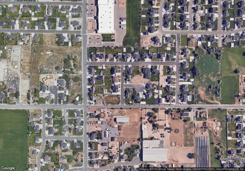
Map
Nearby Homes
- 131 S 1900 W Unit 2
- 161 S 1475 W
- 2162 W Main St Unit E303
- 2178 W Main St Unit D301
- 41 N 2150 W
- 1784 W Grays Place
- 1215 W 125 S
- 1743 W Grays Place
- 202 S 2035 W
- 380 S 1500 W
- 1356 W 425 S
- 374 S 1330 West St
- 1379 W 425 S
- 1032 Titan Dr
- 1363 W 425 S
- 1031 W 125 St S
- The Annie Plan at Longhorn Meadows
- The Kaitlyn Plan at Longhorn Meadows
- The Autumn Plan at Longhorn Meadows
- The Aurora Plan at Longhorn Meadows
- 387 N 1600 W Unit 22
- 334 N 1700 W Unit 18
- 333 N 1600 W
- 362 N 1700 W
- 386 N 1700 W Unit 16
- 386 N 1700 W
- 1579 W 350 N
- 1576 W 350 N
- 384 N 1600 W
- 318 N 1700 W Unit 19
- 318 N 1700 W
- 1642 W 400 N Unit 13
- 1618 W 400 N Unit 12
- 1664 W 400 N Unit 14
- 8800 N 9150 W
- 4460 W 8800 N
- 9656 W 8800 N
- 2200 W 8800 N
- 2150 W 8800 N
- 1592 W 400 N Unit 11