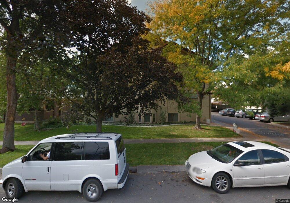
361 N 300 W Unit 203 Provo, UT 84601
Rivergrove NeighborhoodEstimated Value: $259,000 - $284,000
2
Beds
1
Bath
819
Sq Ft
$332/Sq Ft
Est. Value
About This Home
This home is located at 361 N 300 W Unit 203, Provo, UT 84601 and is currently estimated at $271,718, approximately $331 per square foot. 361 N 300 W Unit 203 is a home located in Utah County with nearby schools including Timpanogos Elementary School, Dixon Middle School, and Provo High School.
Ownership History
Date
Name
Owned For
Owner Type
Purchase Details
Closed on
Nov 18, 2015
Sold by
Nield Matthew D
Bought by
Dumaguin Laurai Matearoha and Nield Jaymie Waiehu Dumaguin
Current Estimated Value
Purchase Details
Closed on
Jun 8, 2009
Sold by
Foules David and Foules Marie
Bought by
Nield Matthew D
Home Financials for this Owner
Home Financials are based on the most recent Mortgage that was taken out on this home.
Original Mortgage
$88,800
Interest Rate
4.82%
Mortgage Type
Purchase Money Mortgage
Create a Home Valuation Report for This Property
The Home Valuation Report is an in-depth analysis detailing your home's value as well as a comparison with similar homes in the area
Home Values in the Area
Average Home Value in this Area
Purchase History
| Date | Buyer | Sale Price | Title Company |
|---|---|---|---|
| Dumaguin Laurai Matearoha | -- | Inwest Title | |
| Nield Matthew D | -- | Executive Title Orem |
Source: Public Records
Mortgage History
| Date | Status | Borrower | Loan Amount |
|---|---|---|---|
| Previous Owner | Nield Matthew D | $88,800 |
Source: Public Records
Tax History Compared to Growth
Tax History
| Year | Tax Paid | Tax Assessment Tax Assessment Total Assessment is a certain percentage of the fair market value that is determined by local assessors to be the total taxable value of land and additions on the property. | Land | Improvement |
|---|---|---|---|---|
| 2025 | $1,362 | $140,195 | $28,300 | $226,600 |
| 2024 | $1,362 | $134,035 | $0 | $0 |
| 2023 | $1,365 | $132,440 | $0 | $0 |
| 2022 | $1,341 | $131,230 | $0 | $0 |
| 2021 | $1,127 | $192,400 | $23,100 | $169,300 |
| 2020 | $1,112 | $177,900 | $21,300 | $156,600 |
| 2019 | $968 | $161,000 | $21,000 | $140,000 |
| 2018 | $830 | $140,000 | $18,000 | $122,000 |
| 2017 | $706 | $65,450 | $0 | $0 |
| 2016 | $689 | $59,510 | $0 | $0 |
| 2015 | $655 | $57,200 | $0 | $0 |
| 2014 | $544 | $49,500 | $0 | $0 |
Source: Public Records
Map
Nearby Homes
- 361 N 300 W Unit 201
- 270 N 400 W
- 250 N 100 W Unit 109
- 614 W 400 N
- 266 N 700 W
- 595 N 600 W
- 40 S Freedom Blvd
- 75 E 200 N Unit 106
- 440 N 800 W
- 136 E 400 N Unit 107
- 556 W 800 N Unit 18
- 810 N 600 W
- 828 N 600 W
- 620 N 800 W
- 548 N 850 W
- 466 N 200 E
- 215 S 400 W
- 158 N 900 W
- 902 W 500 N
- 836 N University Ave Unit 111
- 361 N 300 W Unit 307
- 361 N 300 W
- 361 N 300 W Unit 305
- 361 N 300 W Unit 304
- 361 N 300 W Unit 303
- 361 N 300 W Unit 302
- 361 N 300 W
- 361 N 300 W Unit 208
- 361 N 300 W Unit 207
- 361 N 300 W
- 361 N 300 W
- 361 N 300 W Unit 204
- 361 N 300 W Unit 202
- 361 N 300 W
- 361 N 300 W
- 361 N 300 W Unit 106
- 361 N 300 W
- 361 N 300 W
- 361 N 300 W Unit 103
- 361 N 300 W Unit 102