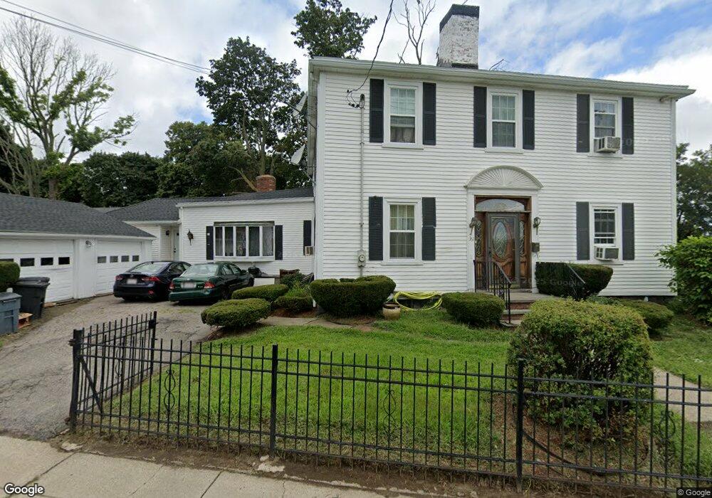
361 Neponset Ave Dorchester, MA 02122
Neponset-Port Norfolk NeighborhoodEstimated Value: $949,000 - $1,110,000
3
Beds
3
Baths
3,213
Sq Ft
$321/Sq Ft
Est. Value
About This Home
This home is located at 361 Neponset Ave, Dorchester, MA 02122 and is currently estimated at $1,032,527, approximately $321 per square foot. 361 Neponset Ave is a home located in Suffolk County with nearby schools including Neighborhood House Charter School and St Brendan School.
Ownership History
Date
Name
Owned For
Owner Type
Purchase Details
Closed on
Dec 4, 2015
Sold by
Igbowke Nwawunze J Est
Bought by
Igbokwe Gloria
Current Estimated Value
Purchase Details
Closed on
Feb 14, 2003
Sold by
Kelley Martin F
Bought by
Igbokwe Nwawunze J
Home Financials for this Owner
Home Financials are based on the most recent Mortgage that was taken out on this home.
Original Mortgage
$436,050
Interest Rate
5.88%
Mortgage Type
Purchase Money Mortgage
Create a Home Valuation Report for This Property
The Home Valuation Report is an in-depth analysis detailing your home's value as well as a comparison with similar homes in the area
Home Values in the Area
Average Home Value in this Area
Purchase History
| Date | Buyer | Sale Price | Title Company |
|---|---|---|---|
| Igbokwe Gloria | -- | -- | |
| Igbokwe Nwawunze J | $459,000 | -- |
Source: Public Records
Mortgage History
| Date | Status | Borrower | Loan Amount |
|---|---|---|---|
| Previous Owner | Igbokwe Nwawunze J | $436,050 |
Source: Public Records
Tax History Compared to Growth
Tax History
| Year | Tax Paid | Tax Assessment Tax Assessment Total Assessment is a certain percentage of the fair market value that is determined by local assessors to be the total taxable value of land and additions on the property. | Land | Improvement |
|---|---|---|---|---|
| 2025 | $10,043 | $867,300 | $307,100 | $560,200 |
| 2024 | $9,773 | $896,600 | $272,600 | $624,000 |
| 2023 | $8,998 | $837,800 | $254,700 | $583,100 |
| 2022 | $8,654 | $795,400 | $242,500 | $552,900 |
| 2021 | $8,062 | $755,600 | $235,400 | $520,200 |
| 2020 | $7,554 | $715,300 | $233,200 | $482,100 |
| 2019 | $7,000 | $664,100 | $195,600 | $468,500 |
| 2018 | $6,503 | $620,500 | $195,600 | $424,900 |
| 2017 | $6,256 | $590,700 | $195,600 | $395,100 |
| 2016 | $6,072 | $552,000 | $195,600 | $356,400 |
| 2015 | $5,879 | $485,500 | $178,000 | $307,500 |
| 2014 | $5,760 | $457,900 | $178,000 | $279,900 |
Source: Public Records
Map
Nearby Homes
- 378 Neponset Ave
- 22 Chickatawbut St Unit 2
- 400-412 Neponset Ave
- 43 Chickatawbut St
- 45 Chickatawbut St Unit 1
- 51 Coffey St Unit 51C
- 56 Coffey St Unit 10
- 62 Redfield St Unit 1
- 36 Mckone St Unit 2
- 36 Mckone St
- 36 Mckone St Unit 1
- 103 Minot St
- 107 Minot St
- 223 Neponset Ave Unit 2
- 140 Minot St
- 169 Walnut St Unit 2
- 171 Walnut St Unit 4
- 45 Hancock St Unit 203
- 701 Adams St Unit 9
- 3 N Munroe Terrace
- 11 Chickatawbut St
- 6 Chickatawbut St Unit 3
- 6 Chickatawbut St Unit 2
- 6 Chickatawbut St Unit 1
- 10 Chickatawbut St
- 15 Chickatawbut St
- 12 Chickatawbut St
- 353 Neponset Ave
- 19 Chickatawbut St
- 14 Chickatawbut St
- 381 Neponset Ave
- 375 Neponset Ave
- 20 Chickatawbut St
- 371 Neponset Ave
- 11 Minot St Unit 303
- 11 Minot St
- 11 Minot St Unit 107
- 11 Minot St Unit 108
- 11 Minot St Unit 106
- 11 Minot St Unit 105