361 Overlook Point Dahlonega, GA 30533
Estimated Value: $562,649 - $723,000
--
Bed
3
Baths
2,849
Sq Ft
$220/Sq Ft
Est. Value
About This Home
This home is located at 361 Overlook Point, Dahlonega, GA 30533 and is currently estimated at $626,216, approximately $219 per square foot. 361 Overlook Point is a home located in Lumpkin County with nearby schools including Clay County Middle School and Lumpkin County High School.
Ownership History
Date
Name
Owned For
Owner Type
Purchase Details
Closed on
Aug 10, 2009
Sold by
Copperridge Howmowners Assco In
Bought by
Michael Robert O and Michael Jane S
Current Estimated Value
Purchase Details
Closed on
Jul 28, 1995
Sold by
Shimkoski John F
Bought by
Michael Robert O
Purchase Details
Closed on
Sep 4, 1992
Sold by
Barrett Thomas M
Bought by
Shimkoski John F
Purchase Details
Closed on
Dec 1, 1985
Bought by
Barrett Thomas M
Create a Home Valuation Report for This Property
The Home Valuation Report is an in-depth analysis detailing your home's value as well as a comparison with similar homes in the area
Home Values in the Area
Average Home Value in this Area
Purchase History
| Date | Buyer | Sale Price | Title Company |
|---|---|---|---|
| Michael Robert O | -- | -- | |
| Michael Robert O | $155,000 | -- | |
| Shimkoski John F | $122,000 | -- | |
| Barrett Thomas M | $29,200 | -- |
Source: Public Records
Tax History Compared to Growth
Tax History
| Year | Tax Paid | Tax Assessment Tax Assessment Total Assessment is a certain percentage of the fair market value that is determined by local assessors to be the total taxable value of land and additions on the property. | Land | Improvement |
|---|---|---|---|---|
| 2024 | $4,301 | $192,107 | $106,140 | $85,967 |
| 2023 | $3,936 | $186,912 | $106,140 | $80,772 |
| 2022 | $4,383 | $179,033 | $106,140 | $72,893 |
| 2021 | $4,254 | $168,170 | $106,140 | $62,030 |
| 2020 | $4,345 | $166,713 | $106,140 | $60,573 |
| 2019 | $4,385 | $166,713 | $106,140 | $60,573 |
| 2018 | $4,458 | $159,130 | $106,140 | $52,990 |
| 2017 | $4,572 | $160,057 | $106,140 | $53,917 |
| 2016 | $4,610 | $156,144 | $106,140 | $50,004 |
| 2015 | $4,084 | $156,144 | $106,140 | $50,004 |
| 2014 | $4,084 | $156,901 | $106,140 | $50,761 |
| 2013 | -- | $158,416 | $106,140 | $52,276 |
Source: Public Records
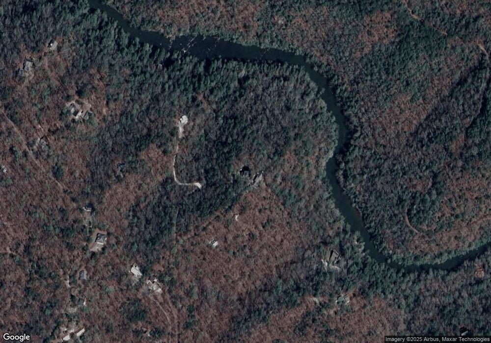
Map
Nearby Homes
- 0 Arborwood Dr Unit 10645890
- 202 Indian Trail
- 83 Austin Ct
- 128 Young Deer Dr
- 380 Copper Mill Rd
- 87 Tolleffs Trail
- 496 Beaver Dam Rd
- 0 Bearden Rd Unit 10598024
- 0 Bearden Rd Unit 7642996
- 300 Mountain Ridge Dr
- 45 Chestatee River Ridge
- 1228 Winters Mountain Rd
- 0 Winters Mountain Rd Unit 7681054
- 0 Winters Mountain Rd Unit 10643431
- 16 Welch Cir
- 0 Porter Springs Rd Unit 7685063
- 0 Porter Springs Rd Unit 10648400
- 03 Kate Rd
- 6480 Highway 52 W
- 165 Porter Springs Rd
- 376 Overlook Point
- 330 Overlook Point
- 267 Overlook Point
- 0 Petunia Dr
- 0 Petunia Dr Unit 18 8315174
- 30 Overlook Point
- 274 Overlook Point
- 0 Arborwood Dr Unit 6
- 0 Arborwood Dr Unit 6 8336924
- 0 Arborwood Dr Unit 8886927
- 0 Arborwood Dr Unit 8886925
- 0 Arborwood Dr Unit 3236853
- 0 Arborwood Dr Unit 7361819
- 0 Arborwood Dr Unit 7559574
- 180 Arborwood Dr
- 131 Indian Trail
- 131 Indian Trail Unit 25-26
- 83 Arborwood Dr
- 0 Indian Trail
- 0 Indian Trail Unit 8068843