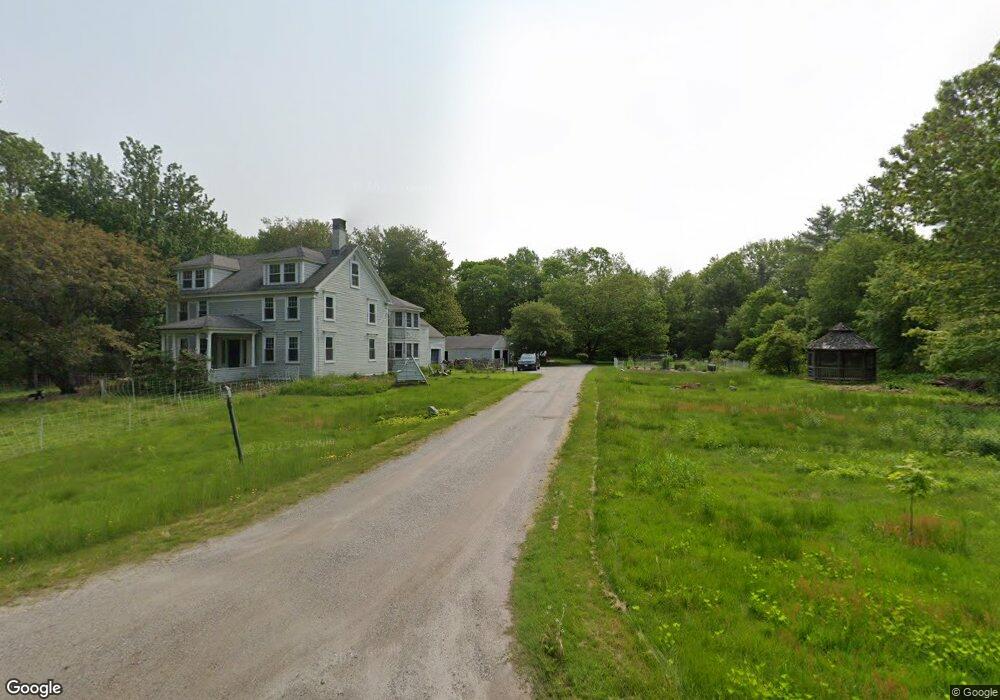
361 Pork Point Rd Bowdoinham, ME 04008
Estimated Value: $355,040 - $923,000
2
Beds
2
Baths
1,378
Sq Ft
$384/Sq Ft
Est. Value
About This Home
This home is located at 361 Pork Point Rd, Bowdoinham, ME 04008 and is currently estimated at $529,760, approximately $384 per square foot. 361 Pork Point Rd is a home with nearby schools including Mt Ararat High School.
Ownership History
Date
Name
Owned For
Owner Type
Purchase Details
Closed on
Feb 20, 2007
Sold by
Mccosh Joellen and Mccosh Kevin
Bought by
Stanton Marjorie and Stanton William
Current Estimated Value
Home Financials for this Owner
Home Financials are based on the most recent Mortgage that was taken out on this home.
Original Mortgage
$102,650
Interest Rate
6.33%
Mortgage Type
FHA
Create a Home Valuation Report for This Property
The Home Valuation Report is an in-depth analysis detailing your home's value as well as a comparison with similar homes in the area
Home Values in the Area
Average Home Value in this Area
Purchase History
| Date | Buyer | Sale Price | Title Company |
|---|---|---|---|
| Stanton Marjorie | -- | -- |
Source: Public Records
Mortgage History
| Date | Status | Borrower | Loan Amount |
|---|---|---|---|
| Closed | Stanton Marjorie | $102,650 |
Source: Public Records
Tax History
| Year | Tax Paid | Tax Assessment Tax Assessment Total Assessment is a certain percentage of the fair market value that is determined by local assessors to be the total taxable value of land and additions on the property. | Land | Improvement |
|---|---|---|---|---|
| 2025 | $4,431 | $200,400 | $61,000 | $139,400 |
| 2024 | $4,208 | $200,400 | $61,000 | $139,400 |
| 2023 | $3,908 | $200,400 | $61,000 | $139,400 |
| 2022 | $3,048 | $168,500 | $50,800 | $117,700 |
| 2021 | $2,859 | $168,500 | $50,800 | $117,700 |
| 2020 | $2,843 | $168,500 | $50,800 | $117,700 |
| 2019 | $2,775 | $168,500 | $50,800 | $117,700 |
| 2018 | $2,552 | $148,800 | $50,800 | $98,000 |
| 2017 | $2,568 | $152,400 | $54,400 | $98,000 |
| 2016 | $2,433 | $147,000 | $49,000 | $98,000 |
| 2015 | $2,418 | $147,000 | $49,000 | $98,000 |
| 2014 | $2,389 | $147,000 | $49,000 | $98,000 |
| 2013 | $2,282 | $148,200 | $49,000 | $99,200 |
Source: Public Records
Map
Nearby Homes
- 359 Pork Point Rd
- 402 Pork Point Rd
- 304 Pork Point Rd
- 461 Pork Point Rd
- 17 Island View Ln
- 8 Island View Ln
- 959 River Rd
- 777 River Rd
- 198 Pork Point Rd
- 969 River Rd
- 233 Pork Point Rd
- 948 River Rd
- TBD River Rd
- 16 Hunter Ln
- 13 Carding MacHine Rd
- 10 Hunter Ln
- 979 River Rd
- 20 Hunter Ln
- 5 Hunter Ln
- 133 Thwings Point Rd
Your Personal Tour Guide
Ask me questions while you tour the home.