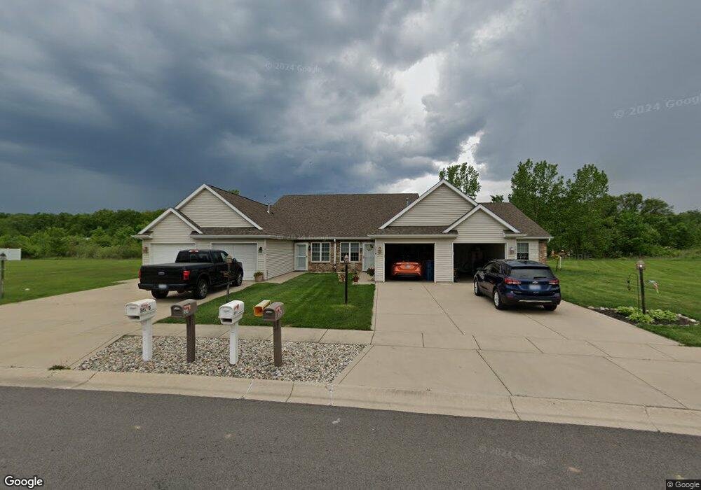
361 S Boo Rd Unit B Burns Harbor, IN 46304
Estimated Value: $191,000 - $233,103
3
Beds
2
Baths
1,450
Sq Ft
$148/Sq Ft
Est. Value
About This Home
This home is located at 361 S Boo Rd Unit B, Burns Harbor, IN 46304 and is currently estimated at $214,526, approximately $147 per square foot. 361 S Boo Rd Unit B is a home located in Porter County with nearby schools including Newton Yost Elementary School, Westchester Intermediate School, and Chesterton Middle School.
Ownership History
Date
Name
Owned For
Owner Type
Purchase Details
Closed on
Nov 4, 2020
Sold by
Quigg Katherine A
Bought by
Shirley M Worthington Revocable Trust
Current Estimated Value
Purchase Details
Closed on
May 11, 2012
Sold by
Tupelo Real Estate Holdings Llc
Bought by
Quigg Katherine A
Home Financials for this Owner
Home Financials are based on the most recent Mortgage that was taken out on this home.
Original Mortgage
$123,000
Interest Rate
2.87%
Mortgage Type
FHA
Create a Home Valuation Report for This Property
The Home Valuation Report is an in-depth analysis detailing your home's value as well as a comparison with similar homes in the area
Home Values in the Area
Average Home Value in this Area
Purchase History
| Date | Buyer | Sale Price | Title Company |
|---|---|---|---|
| Shirley M Worthington Revocable Trust | -- | None Listed On Document | |
| Quigg Katherine A | -- | Multiple | |
| Tupelo Real Estate Holdings Llc | -- | Multiple |
Source: Public Records
Mortgage History
| Date | Status | Borrower | Loan Amount |
|---|---|---|---|
| Previous Owner | Quigg Katherine A | $123,000 |
Source: Public Records
Tax History Compared to Growth
Tax History
| Year | Tax Paid | Tax Assessment Tax Assessment Total Assessment is a certain percentage of the fair market value that is determined by local assessors to be the total taxable value of land and additions on the property. | Land | Improvement |
|---|---|---|---|---|
| 2024 | $1,677 | $199,900 | $20,800 | $179,100 |
| 2023 | $1,622 | $191,500 | $20,800 | $170,700 |
| 2022 | $1,602 | $175,900 | $20,800 | $155,100 |
| 2021 | $1,246 | $151,800 | $20,800 | $131,000 |
| 2020 | $1,197 | $150,500 | $18,100 | $132,400 |
| 2019 | $1,109 | $137,800 | $18,100 | $119,700 |
| 2018 | $1,045 | $134,100 | $18,100 | $116,000 |
| 2017 | $1,032 | $136,500 | $18,100 | $118,400 |
| 2016 | $1,141 | $147,100 | $20,300 | $126,800 |
| 2014 | $1,187 | $145,600 | $19,800 | $125,800 |
| 2013 | -- | $127,700 | $18,700 | $109,000 |
Source: Public Records
Map
Nearby Homes
- 1164 Tanya St
- 1609 Melanie Ln
- 337 Clifford Way
- 326 Clifford Way
- 1138 Weaver Way
- 357 Melton Rd
- 1 Burns Blvd
- 0 Burns Blvd
- 1162 Chesterfield Ave
- 1180 Harbor Way
- 1181 Harbor Way
- 1178 Harbor Way
- 1183 Harbor Way
- 322 Sherman Ave
- 1177 Harbor Way
- V/L U S 20
- 283 Melton Rd
- 2176 Mccool Rd
- 6698 Monument Ave
- 237 Cessna Dr
- 361 S Boo Rd
- 361 S Boo Rd Unit D
- 361 S Boo Rd Unit C
- 361A S Boo Rd
- 361 S Boo Rd
- 321 S Boo Rd
- 321 S Boo Rd
- 363 S Boo Rd
- 0 Salt Creek Rd
- 1530 Salt Creek Rd
- 359 S Boo Rd
- 365A S Boo Rd
- 358 S Boo Rd
- 360 S Boo Rd
- 355 S Boo Rd
- 355 S Boo Rd Unit A
- 355 S Boo Rd Unit C
- 355 S Boo Rd Unit D
- 355 S Boo Rd Unit B
- 362 S Boo Rd