361 S Whitepath Cir Ellijay, GA 30540
Estimated Value: $404,680 - $571,000
2
Beds
1
Bath
1,373
Sq Ft
$330/Sq Ft
Est. Value
About This Home
This home is located at 361 S Whitepath Cir, Ellijay, GA 30540 and is currently estimated at $452,670, approximately $329 per square foot. 361 S Whitepath Cir is a home with nearby schools including Ellijay Elementary School, Clear Creek Elementary School, and Clear Creek Middle School.
Ownership History
Date
Name
Owned For
Owner Type
Purchase Details
Closed on
Sep 22, 2015
Sold by
Stephens Brenda J
Bought by
Statham John Obrien
Current Estimated Value
Purchase Details
Closed on
Apr 17, 2006
Sold by
Stephens Jeff D
Bought by
Stephens Brenda J
Purchase Details
Closed on
Aug 31, 2000
Sold by
Brannon Richard K and Brannon Pa
Bought by
Stephens Jeff D and Stephens Brenda J
Purchase Details
Closed on
Oct 1, 1996
Bought by
Brannon Richard K and Brannon Pa
Purchase Details
Closed on
Oct 1, 1990
Bought by
Brannon Richard K and Brannon Pa
Purchase Details
Closed on
Jan 1, 1987
Bought by
Brannon Richard K and Brannon Pa
Create a Home Valuation Report for This Property
The Home Valuation Report is an in-depth analysis detailing your home's value as well as a comparison with similar homes in the area
Home Values in the Area
Average Home Value in this Area
Purchase History
| Date | Buyer | Sale Price | Title Company |
|---|---|---|---|
| Statham John Obrien | $147,000 | -- | |
| Stephens Brenda J | -- | -- | |
| Stephens Jeff D | $89,000 | -- | |
| Brannon Richard K | $50,000 | -- | |
| Brannon Richard K | -- | -- | |
| Brannon Richard K | -- | -- |
Source: Public Records
Tax History Compared to Growth
Tax History
| Year | Tax Paid | Tax Assessment Tax Assessment Total Assessment is a certain percentage of the fair market value that is determined by local assessors to be the total taxable value of land and additions on the property. | Land | Improvement |
|---|---|---|---|---|
| 2025 | $2,313 | $179,816 | $39,600 | $140,216 |
| 2024 | $2,313 | $149,292 | $38,800 | $110,492 |
| 2023 | $2,388 | $149,292 | $38,800 | $110,492 |
| 2022 | $2,023 | $114,932 | $34,800 | $80,132 |
| 2021 | $1,909 | $96,212 | $28,800 | $67,412 |
| 2020 | $1,781 | $80,984 | $28,800 | $52,184 |
| 2019 | $1,789 | $78,984 | $28,800 | $50,184 |
| 2018 | $1,542 | $67,224 | $25,000 | $42,224 |
| 2017 | $1,594 | $64,808 | $25,000 | $39,808 |
| 2016 | $1,292 | $51,460 | $18,720 | $32,740 |
| 2015 | $991 | $40,200 | $18,720 | $21,480 |
| 2014 | $1,023 | $39,936 | $18,720 | $21,216 |
| 2013 | -- | $40,420 | $18,720 | $21,700 |
Source: Public Records
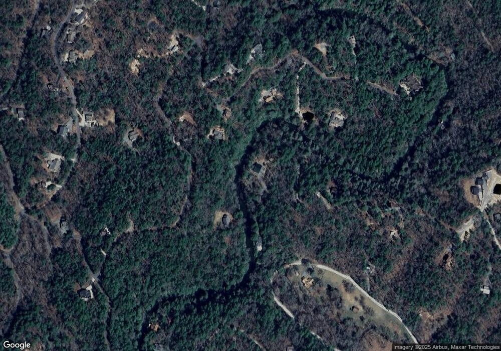
Map
Nearby Homes
- 160 Nahunta Ct
- Lot 53 Whitepath Cir N
- 89 N Whitepath Cir
- 577 Tonto Dr
- 425 Riverbend Ct
- 25 Briar Creek Dr
- 573 Cataula Ct
- 695 Satsuma Ct
- LOT 546 Satsuma Ct
- 804 Pocaset Dr
- 29 River Ranch Rd
- 122 River Bend Trail
- 63 Hawk Trail
- Lot 332 Pocaset
- Lot 645 Wedowee Ct
- 382 Pocaset
- 548 Satsuma Ct
- 0 Sapulpa Ct Unit 10048033
- 0 Sapulpa Ct Unit 7023680
- 261 S Whitepath Cir
- 1062 River Bend Rd
- 240 Sapulpa Ct
- 226 S Whitepath Cir
- 80 Neshoba Ct E
- 190 Neshoba Ct E Unit 626
- 190 Neshoba Ct E
- 310 Neshoba Ct E
- 0 Neshoba Ct Unit 617 8251196
- 0 Neshoba Ct Unit 616 8251170
- 0 Neshoba Ct Unit 5865078
- 0 Neshoba Ct Unit 8567437
- 0 Neshoba Ct Unit 6539567
- 1100 River Bend Rd
- 232 S Whitepath Cir Unit 23&29
- 232 S Whitepath Cir
- L 619 Neshoba Ct
- n/a Neshoba Ct
- LT612 Neshoba Ct
- E Neshoba Ct Unit Lot 619