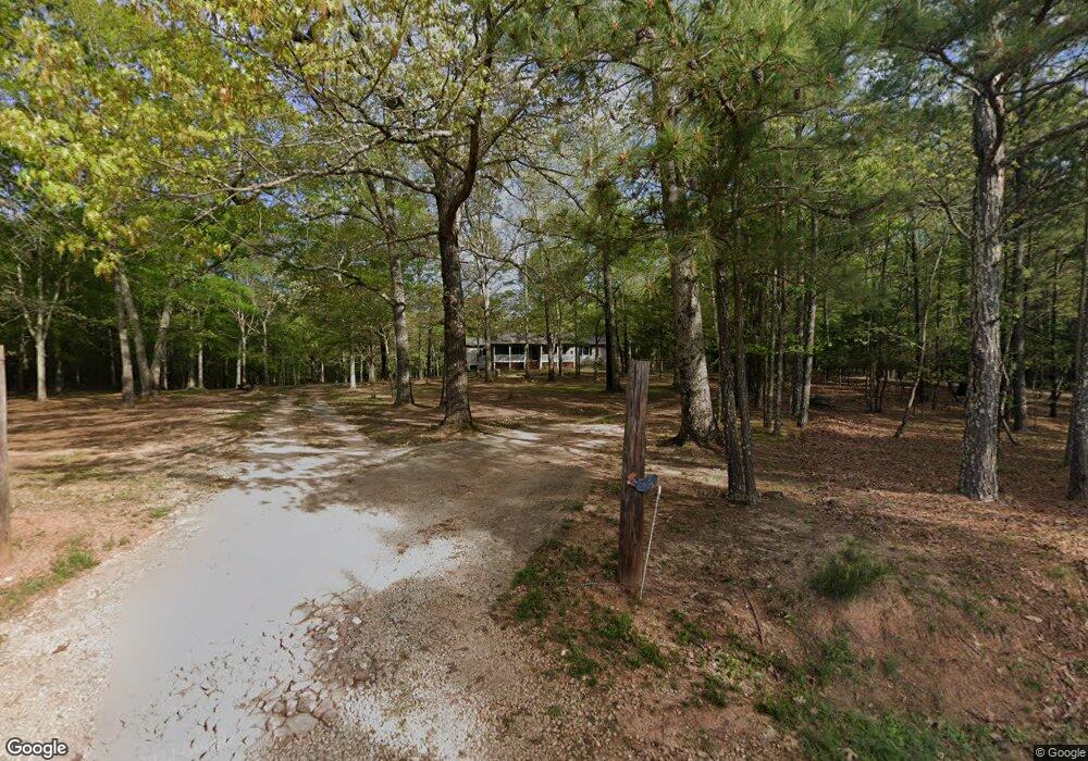
361 Seabolt Rd Locust Grove, GA 30248
Estimated Value: $371,000 - $468,000
3
Beds
3
Baths
1,800
Sq Ft
$231/Sq Ft
Est. Value
About This Home
This home is located at 361 Seabolt Rd, Locust Grove, GA 30248 and is currently estimated at $416,380, approximately $231 per square foot. 361 Seabolt Rd is a home located in Henry County with nearby schools including Unity Grove Elementary School, Locust Grove Middle School, and Locust Grove High School.
Ownership History
Date
Name
Owned For
Owner Type
Purchase Details
Closed on
Mar 6, 2019
Sold by
Chaffin James Carl
Bought by
Chaffin James Carl and Ruiz Javier Bernardo
Current Estimated Value
Purchase Details
Closed on
Nov 7, 2018
Sold by
Towson James M
Bought by
Chaffin James Carl and Bernardo Ruiz Javier
Home Financials for this Owner
Home Financials are based on the most recent Mortgage that was taken out on this home.
Original Mortgage
$125,000
Interest Rate
4.9%
Mortgage Type
New Conventional
Purchase Details
Closed on
May 12, 2016
Sold by
Maness Sam
Bought by
Towson Jill Y and Towson James M
Home Financials for this Owner
Home Financials are based on the most recent Mortgage that was taken out on this home.
Original Mortgage
$160,047
Interest Rate
3.87%
Mortgage Type
FHA
Create a Home Valuation Report for This Property
The Home Valuation Report is an in-depth analysis detailing your home's value as well as a comparison with similar homes in the area
Home Values in the Area
Average Home Value in this Area
Purchase History
| Date | Buyer | Sale Price | Title Company |
|---|---|---|---|
| Chaffin James Carl | -- | -- | |
| Chaffin James Carl | $241,000 | -- | |
| Towson Jill Y | $163,000 | -- |
Source: Public Records
Mortgage History
| Date | Status | Borrower | Loan Amount |
|---|---|---|---|
| Previous Owner | Chaffin James Carl | $125,000 | |
| Previous Owner | Towson Jill Y | $160,047 |
Source: Public Records
Tax History Compared to Growth
Tax History
| Year | Tax Paid | Tax Assessment Tax Assessment Total Assessment is a certain percentage of the fair market value that is determined by local assessors to be the total taxable value of land and additions on the property. | Land | Improvement |
|---|---|---|---|---|
| 2025 | $3,899 | $193,680 | $67,480 | $126,200 |
| 2024 | $3,899 | $187,200 | $61,280 | $125,920 |
| 2023 | $3,038 | $175,720 | $59,040 | $116,680 |
| 2022 | $3,304 | $161,880 | $54,480 | $107,400 |
| 2021 | $2,720 | $130,680 | $46,760 | $83,920 |
| 2020 | $2,388 | $114,480 | $44,040 | $70,440 |
| 2019 | $3,285 | $96,400 | $37,692 | $58,708 |
| 2018 | $3,277 | $84,400 | $38,240 | $46,160 |
| 2016 | $3,014 | $77,520 | $33,760 | $43,760 |
| 2015 | $2,751 | $68,560 | $36,000 | $32,560 |
| 2014 | $861 | $65,360 | $36,000 | $29,360 |
Source: Public Records
Map
Nearby Homes
- 943 Colvin Dr
- 104 Waratah Dr
- 678 Seabolt Rd
- 705 Seabolt Rd
- 75 Price Dr W
- 825 S Bethany Rd
- 560 Coan Dr
- 390 Coan Dr
- 604 Onieda Dr
- 1579 S Bethany Rd
- 735 Strawflower Ln
- 1000 Coan Dr
- 305 Annie Ln Unit 2
- 340 Colvin Dr
- 521 Deadwood Trail
- 230 Leguin Mill Rd
- 601 Amerigo Ct
- 201 Nina Cir
- 328 Trulove Ln Unit 32
- 316 Trulove Ln Unit 35
- 253 Seabolt Rd
- 436 Seabolt Rd
- 512 Harris Dr
- 354 Seabolt Rd Unit 1
- 358 Seabolt Rd Unit 2
- 362 Seabolt Rd Unit 3
- 366 Seabolt Rd Unit 4
- 392 Seabolt Rd
- 370 Seabolt Rd Unit 5
- 400 Penelope Ct
- 401 Penelope Ct Unit LOT 75
- 405 Penelope Ct Unit LOT 74
- 409 Penelope Ct Unit LOT 73
- 413 Penelope Ct Unit LOT 72
- 412 Penelope Ct Unit LOT 71
- 404 Penelope Ct Unit LOT 70
- 550 Harris Dr
- 630 Seabolt Rd
- 717 Seabolt Rd
- 0 Seabolt Rd Unit 8617453