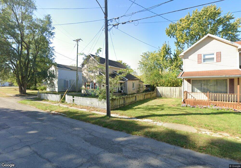
361 Uncapher Ave Marion, OH 43302
Estimated Value: $71,000 - $97,000
3
Beds
1
Bath
1,144
Sq Ft
$72/Sq Ft
Est. Value
About This Home
This home is located at 361 Uncapher Ave, Marion, OH 43302 and is currently estimated at $82,881, approximately $72 per square foot. 361 Uncapher Ave is a home located in Marion County with nearby schools including William McKinley Elementary School, Ulysses S. Grant Middle School, and Harding High School.
Ownership History
Date
Name
Owned For
Owner Type
Purchase Details
Closed on
Jul 27, 2020
Sold by
Jordan Carol and Jordan Franklin R
Bought by
Hall Brice
Current Estimated Value
Home Financials for this Owner
Home Financials are based on the most recent Mortgage that was taken out on this home.
Original Mortgage
$60,389
Outstanding Balance
$53,668
Interest Rate
3.1%
Mortgage Type
Credit Line Revolving
Estimated Equity
$29,213
Purchase Details
Closed on
Oct 5, 1999
Bought by
Jordan Carol
Purchase Details
Closed on
Mar 30, 1993
Bought by
Jordan Carol
Create a Home Valuation Report for This Property
The Home Valuation Report is an in-depth analysis detailing your home's value as well as a comparison with similar homes in the area
Home Values in the Area
Average Home Value in this Area
Purchase History
| Date | Buyer | Sale Price | Title Company |
|---|---|---|---|
| Hall Brice | $10,000 | Ct | |
| Jordan Carol | $13,000 | -- | |
| Jordan Carol | $13,300 | -- |
Source: Public Records
Mortgage History
| Date | Status | Borrower | Loan Amount |
|---|---|---|---|
| Open | Hall Brice | $60,389 |
Source: Public Records
Tax History Compared to Growth
Tax History
| Year | Tax Paid | Tax Assessment Tax Assessment Total Assessment is a certain percentage of the fair market value that is determined by local assessors to be the total taxable value of land and additions on the property. | Land | Improvement |
|---|---|---|---|---|
| 2024 | $1,088 | $15,720 | $2,170 | $13,550 |
| 2023 | $1,088 | $15,720 | $2,170 | $13,550 |
| 2022 | $978 | $15,720 | $2,170 | $13,550 |
| 2021 | $763 | $14,140 | $1,890 | $12,250 |
| 2020 | $562 | $14,140 | $1,890 | $12,250 |
| 2019 | $561 | $14,140 | $1,890 | $12,250 |
| 2018 | $557 | $14,020 | $1,890 | $12,130 |
| 2017 | $564 | $14,020 | $1,890 | $12,130 |
| 2016 | $560 | $14,020 | $1,890 | $12,130 |
| 2015 | $560 | $13,710 | $1,800 | $11,910 |
| 2014 | $561 | $13,710 | $1,800 | $11,910 |
| 2012 | $591 | $14,370 | $2,030 | $12,340 |
Source: Public Records
Map
Nearby Homes
- 403 Uncapher Ave
- 213 Sharp St
- 512 Henry St
- 407 Latourette St
- 579 Henry St
- 645 Henry St
- 625 Rochelle Dr
- 429 W Columbia St
- 668 Uncapher Ave
- 472 Clinton St
- 681 Davids St
- 824 Oak Grove Ave
- 302 Blaine Ave
- 716 Uncapher Ave
- 374 Nunin Ct
- 393 Windsor St
- 545 Blaine Ave
- 889 Oak Grove Ave
- 383 Brentwood Dr
- 720 Woodrow Ave
- 367 Uncapher Ave
- 347 Uncapher Ave
- 353 Uncapher Ave
- 348 Uncapher Ave
- 341 Uncapher Ave
- 342 Uncapher Ave
- 705 Sugar St
- 714 Wood St
- 333 Uncapher Ave
- 336 Uncapher Ave
- 699 Sugar St
- 708 Wood St
- 693 Sugar St
- 327 Uncapher Ave
- 328 Uncapher Ave
- 702 Wood St
- 696 Wood St
- 687 Sugar St
- 319 Uncapher Ave
- 322 Uncapher Ave