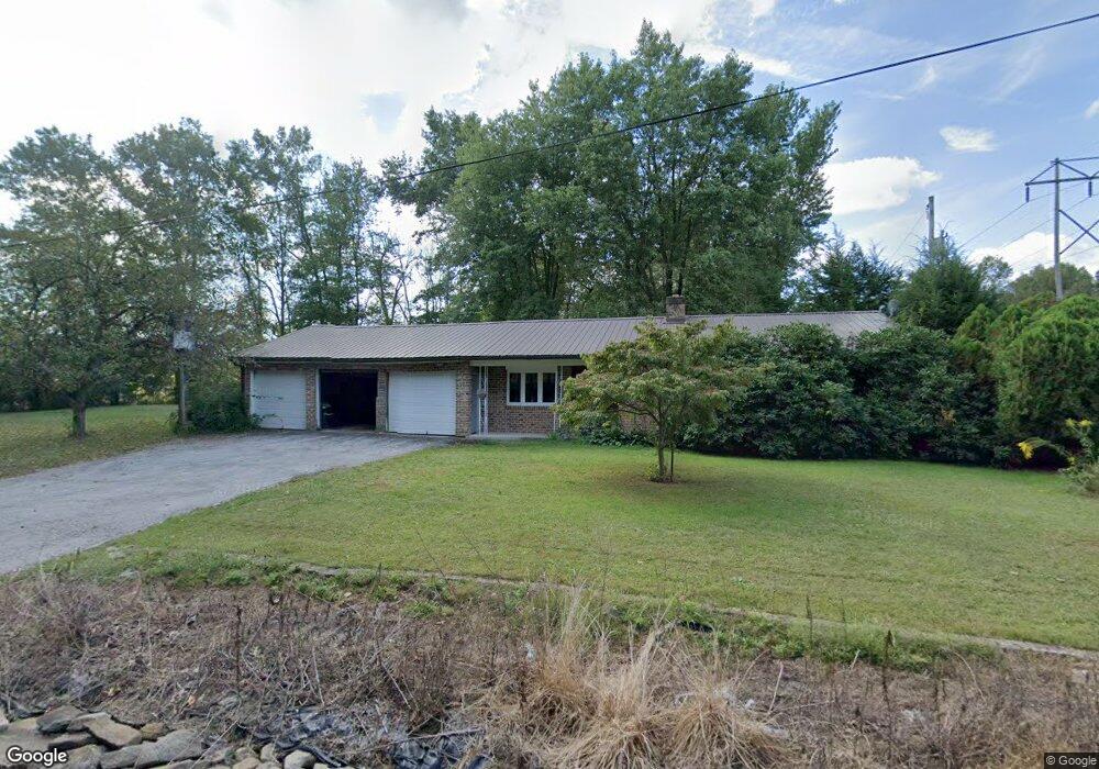
361 Updyke Rd Littlestown, PA 17340
Estimated Value: $270,460 - $306,000
3
Beds
1
Bath
1,168
Sq Ft
$242/Sq Ft
Est. Value
About This Home
This home is located at 361 Updyke Rd, Littlestown, PA 17340 and is currently estimated at $282,365, approximately $241 per square foot. 361 Updyke Rd is a home located in Adams County with nearby schools including Rolling Acres El School, Maple Avenue Middle School, and Littlestown Senior High School.
Ownership History
Date
Name
Owned For
Owner Type
Purchase Details
Closed on
Jun 6, 1985
Bought by
Updyke David Robert
Current Estimated Value
Create a Home Valuation Report for This Property
The Home Valuation Report is an in-depth analysis detailing your home's value as well as a comparison with similar homes in the area
Home Values in the Area
Average Home Value in this Area
Purchase History
| Date | Buyer | Sale Price | Title Company |
|---|---|---|---|
| Updyke David Robert | -- | -- |
Source: Public Records
Tax History Compared to Growth
Tax History
| Year | Tax Paid | Tax Assessment Tax Assessment Total Assessment is a certain percentage of the fair market value that is determined by local assessors to be the total taxable value of land and additions on the property. | Land | Improvement |
|---|---|---|---|---|
| 2025 | $3,051 | $161,200 | $44,000 | $117,200 |
| 2024 | $2,933 | $161,200 | $44,000 | $117,200 |
| 2023 | $2,859 | $161,200 | $44,000 | $117,200 |
| 2022 | $2,838 | $161,200 | $44,000 | $117,200 |
| 2021 | $2,737 | $161,200 | $44,000 | $117,200 |
| 2020 | $2,698 | $161,200 | $44,000 | $117,200 |
| 2019 | $13,768 | $161,200 | $44,000 | $117,200 |
| 2018 | $2,561 | $161,200 | $44,000 | $117,200 |
| 2017 | $2,481 | $161,200 | $44,000 | $117,200 |
| 2016 | -- | $161,200 | $44,000 | $117,200 |
| 2015 | -- | $161,200 | $44,000 | $117,200 |
| 2014 | -- | $161,200 | $44,000 | $117,200 |
Source: Public Records
Map
Nearby Homes
- 161 Stoners Cir
- 58 Windsor Ct
- 1024 Frederick Pike Unit 6
- 20c Locust Dr
- 0 Locust Dr Unit PAAD2015910
- 0 Hershey Rd Unit PALA2058618
- 0 Conestoga Blvd Unit PALA2080682
- 464 Locust Ln
- 2238 Harney Rd Unit 3
- 440 N Queen St
- 140 Apple Grove Ln Unit 425
- 22 Rita Marie Ave
- 37 Amanda Dr Unit 14
- 162 Newark St
- 117 Charles St
- 115 Charles St
- 15 Yorktowne Ct Unit 97
- 22 Cemetery St
- 61 E King St
- 106 E King St
- 143 Gettysburg Rd
- 129 Gettysburg Rd Unit 3
- 11 Crosswinds Dr
- 13 Crosswinds Dr
- 21 Crosswinds Dr
- 30 Saint Johns Rd W Unit 32
- 30 Saint Johns Rd W
- 30 Saint Johns Rd W
- 21 Crosswind Dr
- 19 Crosswind Dr
- 23 Crosswind Dr
- 9 Crosswind Dr
- 33 Crosswinds Dr Unit 16
- 220 Gettysburg Rd Unit 2
- 33 Crosswinds Dr
- 12 Crosswinds Dr
- 240 Gettysburg Rd
- 85 Gettysburg Rd
- 70 Saint Johns Rd W
- 61 Crosswinds Dr