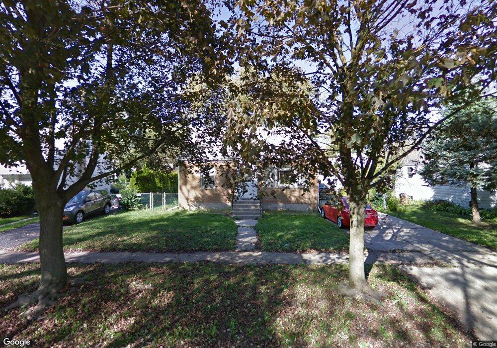
3610 212th Place Matteson, IL 60443
Old Matteson NeighborhoodEstimated Value: $152,000 - $187,000
3
Beds
1
Bath
828
Sq Ft
$213/Sq Ft
Est. Value
About This Home
This home is located at 3610 212th Place, Matteson, IL 60443 and is currently estimated at $176,251, approximately $212 per square foot. 3610 212th Place is a home located in Cook County with nearby schools including Illinois School, Matteson Elementary School, and Sauk Elementary School.
Ownership History
Date
Name
Owned For
Owner Type
Purchase Details
Closed on
Mar 11, 1994
Sold by
Phillips Ronald W and Phillips Krista Jean
Bought by
Esposito John R and Esposito Sharon A
Current Estimated Value
Home Financials for this Owner
Home Financials are based on the most recent Mortgage that was taken out on this home.
Original Mortgage
$40,000
Interest Rate
8.78%
Create a Home Valuation Report for This Property
The Home Valuation Report is an in-depth analysis detailing your home's value as well as a comparison with similar homes in the area
Home Values in the Area
Average Home Value in this Area
Purchase History
| Date | Buyer | Sale Price | Title Company |
|---|---|---|---|
| Esposito John R | $58,666 | -- | |
| Esposito John R | $88,000 | -- |
Source: Public Records
Mortgage History
| Date | Status | Borrower | Loan Amount |
|---|---|---|---|
| Previous Owner | Esposito John R | $40,000 | |
| Previous Owner | Esposito John R | $68,800 | |
| Closed | Esposito John R | $7,000 |
Source: Public Records
Tax History Compared to Growth
Tax History
| Year | Tax Paid | Tax Assessment Tax Assessment Total Assessment is a certain percentage of the fair market value that is determined by local assessors to be the total taxable value of land and additions on the property. | Land | Improvement |
|---|---|---|---|---|
| 2024 | $5,789 | $14,007 | $2,688 | $11,319 |
| 2023 | $4,167 | $14,007 | $2,688 | $11,319 |
| 2022 | $4,167 | $7,681 | $2,352 | $5,329 |
| 2021 | $4,224 | $7,681 | $2,352 | $5,329 |
| 2020 | $3,912 | $7,681 | $2,352 | $5,329 |
| 2019 | $4,502 | $8,699 | $2,184 | $6,515 |
| 2018 | $4,501 | $8,699 | $2,184 | $6,515 |
| 2017 | $4,322 | $8,699 | $2,184 | $6,515 |
| 2016 | $4,418 | $8,985 | $2,016 | $6,969 |
| 2015 | $4,380 | $8,985 | $2,016 | $6,969 |
| 2014 | $4,243 | $8,985 | $2,016 | $6,969 |
| 2013 | $4,273 | $9,899 | $2,016 | $7,883 |
Source: Public Records
Map
Nearby Homes
- 21142 Locust St
- 21209 Oak St
- 3718 211th Place
- 3712 214th St
- 3727 214th Place Unit 2
- 549 Homan Ave
- 3704 215th St Unit 205
- 3919 214th St
- 305 Jackson St
- 3809 215th St
- 410 Gettysburg St
- 508 Davis St
- 21607 Main St
- 120 Indiana St
- 3762 216th Place
- 307 Gettysburg St
- 20852 Greenwood Dr
- 3135 Nottingham Ct
- 3133 Nottingham Ct
- 500 Antietam St
- 3614 212th Place
- 21218 Main St
- 21212 Main St
- 21211 Locust St
- 21217 Locust St
- 21208 Main St
- 3611 212th Place
- 3615 212th Place
- 21202 Main St
- 21232 Main St
- 21201 Locust St
- 3619 212th Place
- 21154 Main St
- 21218 Locust St
- 3552 212th Place
- 21209 Main St
- 3551 212th Place
- 21212 Locust St
- 21205 Main St
- 3627 212th Place