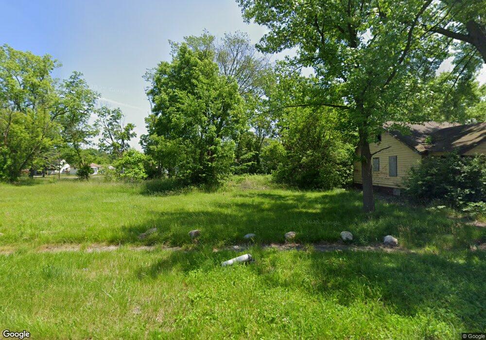
3610 Comstock Ave Flint, MI 48504
Merill NeighborhoodEstimated Value: $37,000 - $115,000
2
Beds
1
Bath
697
Sq Ft
$109/Sq Ft
Est. Value
About This Home
This home is located at 3610 Comstock Ave, Flint, MI 48504 and is currently estimated at $76,000, approximately $109 per square foot. 3610 Comstock Ave is a home located in Genesee County with nearby schools including Brownell STEM Academy, Greater Heights Academy, and Eagle's Nest Academy.
Ownership History
Date
Name
Owned For
Owner Type
Purchase Details
Closed on
Jan 14, 2014
Sold by
State Of Michigan
Bought by
Genesee County Land Bank Authority
Current Estimated Value
Purchase Details
Closed on
Dec 9, 2013
Sold by
Genesee County Land Bank Authority
Bought by
State Of Michigan and Land Bank Fast Track Authority
Purchase Details
Closed on
Dec 27, 2007
Sold by
Tanner Terry
Bought by
Russell Susie Mae
Purchase Details
Closed on
Sep 10, 2007
Sold by
Montgomery Teresa
Bought by
Tanner Terry
Purchase Details
Closed on
Jul 11, 2006
Sold by
Artis Edward C
Bought by
Montgomery Teresa
Purchase Details
Closed on
Oct 11, 2004
Sold by
Kildee Daniel T
Bought by
Artis Edward
Create a Home Valuation Report for This Property
The Home Valuation Report is an in-depth analysis detailing your home's value as well as a comparison with similar homes in the area
Home Values in the Area
Average Home Value in this Area
Purchase History
| Date | Buyer | Sale Price | Title Company |
|---|---|---|---|
| Genesee County Land Bank Authority | -- | None Available | |
| State Of Michigan | -- | None Available | |
| Russell Susie Mae | $5,000 | None Available | |
| Tanner Terry | $20,000 | First American Title Ins Co | |
| Montgomery Teresa | $500 | First American Title Ins Co | |
| Artis Edward | $6,000 | -- |
Source: Public Records
Tax History
| Year | Tax Paid | Tax Assessment Tax Assessment Total Assessment is a certain percentage of the fair market value that is determined by local assessors to be the total taxable value of land and additions on the property. | Land | Improvement |
|---|---|---|---|---|
| 2025 | -- | $0 | $0 | $0 |
| 2024 | -- | $0 | $0 | $0 |
| 2023 | -- | $0 | $0 | $0 |
| 2022 | $0 | $0 | $0 | $0 |
| 2021 | $0 | $0 | $0 | $0 |
| 2020 | $0 | $0 | $0 | $0 |
| 2019 | $0 | $0 | $0 | $0 |
| 2018 | $0 | $0 | $0 | $0 |
| 2017 | $0 | $0 | $0 | $0 |
| 2016 | $0 | $0 | $0 | $0 |
| 2015 | -- | $0 | $0 | $0 |
| 2014 | -- | $0 | $0 | $0 |
| 2012 | -- | $0 | $0 | $0 |
Source: Public Records
Map
Nearby Homes
- 3517 Leerda St
- 3505 Leerda St
- 3419 Leerda St
- 3506 Brownell Blvd
- 3413 Leerda St
- 3808 Comstock Ave
- 3420 Fleming Rd
- 3710 Kellar Ave
- 3617 Kellar Ave
- 3218 Trumbull Ave
- 3221 Burgess St
- 2006 W Mcclellan St
- 1315 W Myrtle Ave
- 3722 Sterling St
- 2907 Trumbull Ave
- 3022 Seneca St
- 1402 W Dartmouth St
- 1521 W Dartmouth St
- 3207 Milbourne Ave
- 3802 Milbourne Ave
- 3606 Comstock Ave
- 3614 Comstock Ave
- 3618 Comstock Ave
- 3602 Comstock Ave
- 3609 Leerda St
- 3622 Comstock Ave
- 3613 Leerda St
- 3514 Comstock Ave
- 3605 Leerda St
- 3617 Leerda St
- 3601 Leerda St
- 3621 Leerda St
- 3510 Comstock Ave
- 3609 Comstock Ave
- 3613 Comstock Ave
- 3605 Comstock Ave
- 3513 Leerda St
- 3617 Comstock Ave
- 3601 Comstock Ave
- 3506 Comstock Ave
Your Personal Tour Guide
Ask me questions while you tour the home.