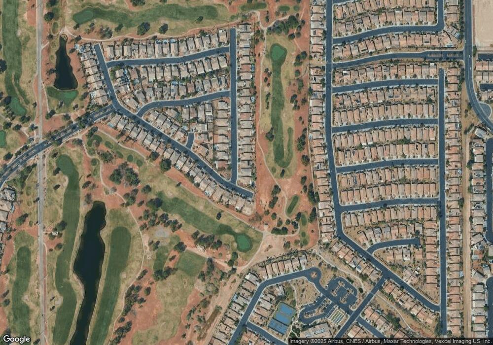
3610 Driving Range St Las Vegas, NV 89122
Estimated Value: $421,561 - $450,000
4
Beds
2
Baths
2,018
Sq Ft
$219/Sq Ft
Est. Value
About This Home
This home is located at 3610 Driving Range St, Las Vegas, NV 89122 and is currently estimated at $442,140, approximately $219 per square foot. 3610 Driving Range St is a home located in Clark County with nearby schools including Cynthia Cunningham Elementary School, Kathleen & Tim Harney Middle School, and Chaparral High School.
Ownership History
Date
Name
Owned For
Owner Type
Purchase Details
Closed on
Feb 8, 2010
Sold by
Deutsche Bank National Trust Company
Bought by
Liebelt Robert C and Liebelt Linda E
Current Estimated Value
Purchase Details
Closed on
Nov 30, 2009
Sold by
Jackson Alma and Jackson James
Bought by
Deutsche Bank National Trust Company
Purchase Details
Closed on
Jul 31, 2008
Sold by
Jackson Alma J and Jackson James L
Bought by
Union Home Loan Profit Sharing Plan & Tr
Purchase Details
Closed on
Nov 20, 2001
Sold by
William Lyon Homes Inc
Bought by
Jackson James and Jackson Alma
Home Financials for this Owner
Home Financials are based on the most recent Mortgage that was taken out on this home.
Original Mortgage
$186,200
Interest Rate
9.7%
Create a Home Valuation Report for This Property
The Home Valuation Report is an in-depth analysis detailing your home's value as well as a comparison with similar homes in the area
Home Values in the Area
Average Home Value in this Area
Purchase History
| Date | Buyer | Sale Price | Title Company |
|---|---|---|---|
| Liebelt Robert C | $170,000 | Ticor Title Las Vegas | |
| Deutsche Bank National Trust Company | $211,502 | Accommodation | |
| Union Home Loan Profit Sharing Plan & Tr | $25,000 | Accommodation | |
| Jackson James | $198,090 | Fidelity National Title |
Source: Public Records
Mortgage History
| Date | Status | Borrower | Loan Amount |
|---|---|---|---|
| Previous Owner | Jackson James | $186,200 |
Source: Public Records
Tax History Compared to Growth
Tax History
| Year | Tax Paid | Tax Assessment Tax Assessment Total Assessment is a certain percentage of the fair market value that is determined by local assessors to be the total taxable value of land and additions on the property. | Land | Improvement |
|---|---|---|---|---|
| 2025 | $1,992 | $111,743 | $32,340 | $79,403 |
| 2024 | $1,934 | $111,743 | $32,340 | $79,403 |
| 2023 | $1,934 | $108,625 | $33,495 | $75,130 |
| 2022 | $1,878 | $97,217 | $28,490 | $68,727 |
| 2021 | $1,824 | $92,369 | $26,950 | $65,419 |
| 2020 | $1,767 | $89,116 | $24,255 | $64,861 |
| 2019 | $1,716 | $88,002 | $24,255 | $63,747 |
| 2018 | $1,666 | $78,628 | $17,325 | $61,303 |
| 2017 | $2,317 | $78,827 | $16,940 | $61,887 |
| 2016 | $1,578 | $69,235 | $13,563 | $55,672 |
| 2015 | $1,827 | $59,955 | $13,563 | $46,392 |
| 2014 | $1,526 | $50,293 | $8,750 | $41,543 |
Source: Public Records
Map
Nearby Homes
- 3562 Driving Range St
- 3591 Driving Range St
- 5969 Swan Point Place Unit 1
- 5926 Terra Grande Ave
- 5968 Pavilion Lakes Ave
- 6128 Isola Peak Ave
- 3447 Halter Dr
- 3735 Halter Dr
- 6092 Fox Creek Ave
- 5963 Crossfield Ave
- 5829 Swan Point Place
- 6085 Majestic Wind Ave
- 5977 Falconer Ave
- 6094 Majestic Wind Ave
- 3520 Tack St
- 5935 Saddle Horse Ave
- 6090 Falconer Ave
- 5960 Wheat Penny Ave
- 3357 Sheep Canyon St
- 6097 Falconer Ave
- 3602 Driving Range St
- 3618 Driving Range St
- 3594 Driving Range St
- 3599 Driving Range St
- 3578 Driving Range St
- 5981 Swan Point Place
- 5987 Swan Point Place
- 5975 Swan Point Place Unit 1
- 5993 Swan Point Place
- 3583 Driving Range St
- 5963 Swan Point Place
- 3570 Driving Range St Unit 1
- 3575 Driving Range St
- 5957 Swan Point Place Unit 1
- 5951 Swan Point Place Unit 1
- 5936 Swan Point Place Unit 1
- 3562 Driving Range St Unit n/a
- 3567 Driving Range St
- 5945 Swan Point Place
- 5932 Swan Point Place
