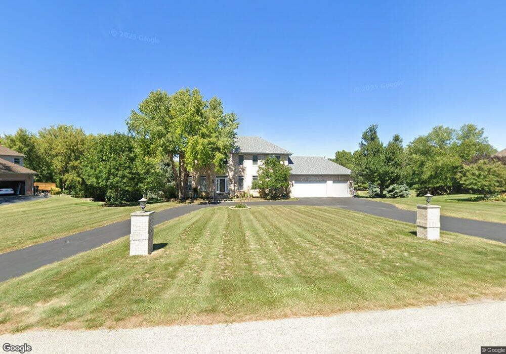
3610 Greenleaf Ct Spring Grove, IL 60081
Estimated Value: $511,937 - $654,000
3
Beds
--
Bath
2,788
Sq Ft
$208/Sq Ft
Est. Value
About This Home
This home is located at 3610 Greenleaf Ct, Spring Grove, IL 60081 and is currently estimated at $580,234, approximately $208 per square foot. 3610 Greenleaf Ct is a home located in McHenry County with nearby schools including Richmond Grade School, Nippersink Middle School, and Richmond-Burton High School.
Ownership History
Date
Name
Owned For
Owner Type
Purchase Details
Closed on
Dec 14, 2023
Sold by
Kurtz Daniel G and Kurtz Lorraine
Bought by
Kurtz Living Trust and Kurtz
Current Estimated Value
Purchase Details
Closed on
Sep 13, 1994
Sold by
The Mchenry State Bank
Bought by
Kurtz Daniel G and Kurtz Lorraine
Create a Home Valuation Report for This Property
The Home Valuation Report is an in-depth analysis detailing your home's value as well as a comparison with similar homes in the area
Home Values in the Area
Average Home Value in this Area
Purchase History
| Date | Buyer | Sale Price | Title Company |
|---|---|---|---|
| Kurtz Living Trust | -- | None Listed On Document | |
| Kurtz Daniel G | $46,000 | Chicago Title |
Source: Public Records
Tax History Compared to Growth
Tax History
| Year | Tax Paid | Tax Assessment Tax Assessment Total Assessment is a certain percentage of the fair market value that is determined by local assessors to be the total taxable value of land and additions on the property. | Land | Improvement |
|---|---|---|---|---|
| 2024 | $10,100 | $153,060 | $26,452 | $126,608 |
| 2023 | $9,726 | $139,921 | $24,181 | $115,740 |
| 2022 | $10,048 | $132,006 | $21,773 | $110,233 |
| 2021 | $9,696 | $126,697 | $20,897 | $105,800 |
| 2020 | $9,549 | $121,906 | $20,107 | $101,799 |
| 2019 | $9,834 | $117,989 | $19,461 | $98,528 |
| 2018 | $8,764 | $101,351 | $18,657 | $82,694 |
| 2017 | $8,741 | $96,516 | $17,767 | $78,749 |
| 2016 | $8,572 | $90,490 | $16,658 | $73,832 |
| 2013 | -- | $82,235 | $15,750 | $66,485 |
Source: Public Records
Map
Nearby Homes
- 3819 Prairie Dr
- 7310 Hillside Dr
- 4223 Northgate Dr
- 2912 Briar Dr
- 2909 Briar Dr
- 3013 N Us Highway 12
- 3006 Rolling Oaks Rd
- 3012 Rolling Oaks Rd
- 2910 Rolling Oaks Rd
- 7304 Briar Dr
- 7404 Briar Ct
- 7416 Briar Ct
- 4104 White St
- 2617 Spring Leaf Dr
- 2150 U S 12
- 4716 Moraine Trail
- 8207 Squirrel Dr
- 7369 English Oak Ln
- 4712 Glacial Trail
- 7373 English Oak Ln
- 3618 Greenleaf Ct
- 3602 Greenleaf Ct
- 3605 Ridge Rd
- 3607 Ridge Rd
- 3603 Ridge Rd
- 3601 Greenleaf Ct
- 3613 Greenleaf Ct
- 3619 Greenleaf Ct
- 3601 Ridge Rd
- 3701 Ridge Rd
- 7119 Edgewood Ct
- 7015 Edgewood Ct
- 7007 Edgewood Ct
- 7001 Edgewood Ct
- 7204 Edgewood Ct
- 3519 Ridge Rd
- 7205 Pierceshire Rd
- 6912 Edgewood Ct
- 3707 Ridge Rd