3610 Mclaughlin Rd Mc Kean, PA 16426
Estimated Value: $254,000 - $671,858
3
Beds
2
Baths
2,696
Sq Ft
$162/Sq Ft
Est. Value
About This Home
This home is located at 3610 Mclaughlin Rd, Mc Kean, PA 16426 and is currently estimated at $436,465, approximately $161 per square foot. 3610 Mclaughlin Rd is a home located in Erie County with nearby schools including McKean Elementary School, James W. Parker Middle School, and General McLane High School.
Ownership History
Date
Name
Owned For
Owner Type
Purchase Details
Closed on
Jul 27, 2005
Sold by
Dougherty Patrick A and Dougherty Stephanie A
Bought by
Humes Gregory S and Humes Theresa L
Current Estimated Value
Purchase Details
Closed on
Mar 28, 2001
Sold by
Mclaughlin Property Management Inc
Bought by
Dougherty Patrick A and Dougherty Stephanie A
Create a Home Valuation Report for This Property
The Home Valuation Report is an in-depth analysis detailing your home's value as well as a comparison with similar homes in the area
Home Values in the Area
Average Home Value in this Area
Purchase History
| Date | Buyer | Sale Price | Title Company |
|---|---|---|---|
| Humes Gregory S | $125,000 | -- | |
| Dougherty Patrick A | -- | -- |
Source: Public Records
Tax History Compared to Growth
Tax History
| Year | Tax Paid | Tax Assessment Tax Assessment Total Assessment is a certain percentage of the fair market value that is determined by local assessors to be the total taxable value of land and additions on the property. | Land | Improvement |
|---|---|---|---|---|
| 2025 | $5,959 | $261,700 | $40,600 | $221,100 |
| 2024 | $5,770 | $261,700 | $40,600 | $221,100 |
| 2023 | $5,430 | $261,700 | $40,600 | $221,100 |
| 2022 | $5,273 | $261,700 | $40,600 | $221,100 |
| 2021 | $5,205 | $333,200 | $112,100 | $221,100 |
| 2020 | $5,140 | $333,200 | $112,100 | $221,100 |
| 2019 | $5,106 | $333,200 | $112,100 | $221,100 |
| 2018 | $4,996 | $333,200 | $112,100 | $221,100 |
| 2017 | $4,996 | $261,700 | $40,600 | $221,100 |
| 2016 | $6,028 | $261,700 | $40,600 | $221,100 |
| 2015 | $5,962 | $261,700 | $40,600 | $221,100 |
| 2014 | $2,829 | $261,700 | $40,600 | $221,100 |
Source: Public Records
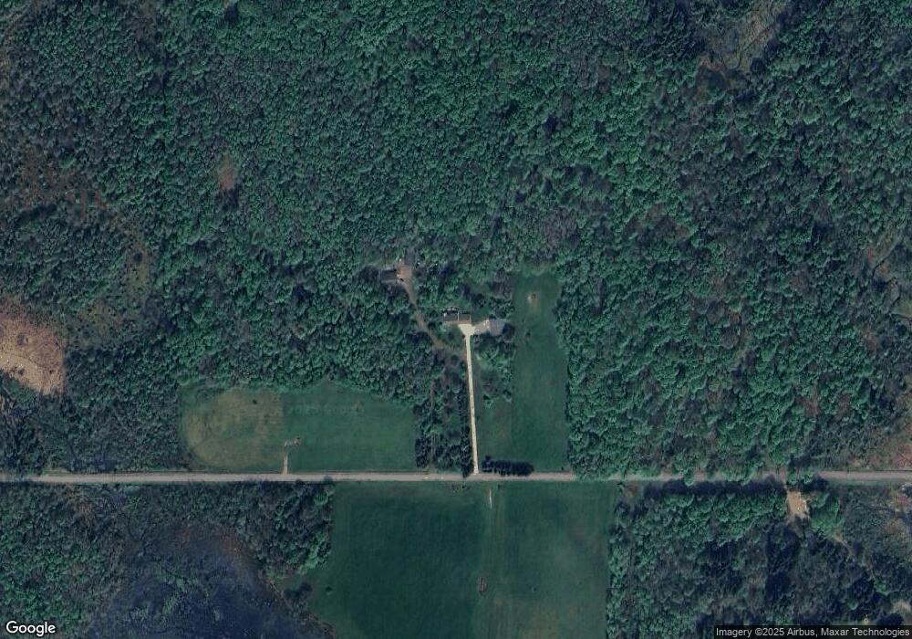
Map
Nearby Homes
- 4919 Old State Rd
- 0 S Hill Rd
- 11396 Sharp Rd
- 10050 Old Route 99
- 0 Sharp Rd Unit 185719
- 0 Leacock Rd
- 9735 Old Route 99
- 3590 Draketown Rd
- 4817 Greenlee Rd
- 0 Greenlee Rd
- 11897 Silverthorn (Tr 86 Rt T438) Rd
- 11047 Fry Rd
- 702 Skyline Dr
- 5115 West Rd
- 0 Edinboro Rd Unit 183772
- 0 Edinboro Rd Unit 182375
- 0 Edinboro Rd Unit 173270
- 127 Timberlake Dr
- 9731 Silverthorn Rd
- 3254 Route 6n
- 4030 Mclaughlin Rd
- 3171 Mclaughlin Rd
- 4051 Mclaughlin Rd
- 3621 E Stancliff Rd
- 3701 E Stancliff Rd
- 3501 E Stancliff Rd
- 3631 E Stancliff Rd
- 3601 E Stancliff Rd
- 4151 Mclaughlin Rd
- 3450 E Stancliff Rd
- 4011 E Stancliff Rd
- 3180 Mclaughlin Rd
- 3260 E Stancliff Rd
- 3050 Mclaughlin Rd
- 4051 E Stancliff Rd
- 4090 E Stancliff Rd
- 10595 Oliver Rd
- 10486 Osborne Rd
- 3161 E Stancliff Rd
- 10682 Oliver Rd