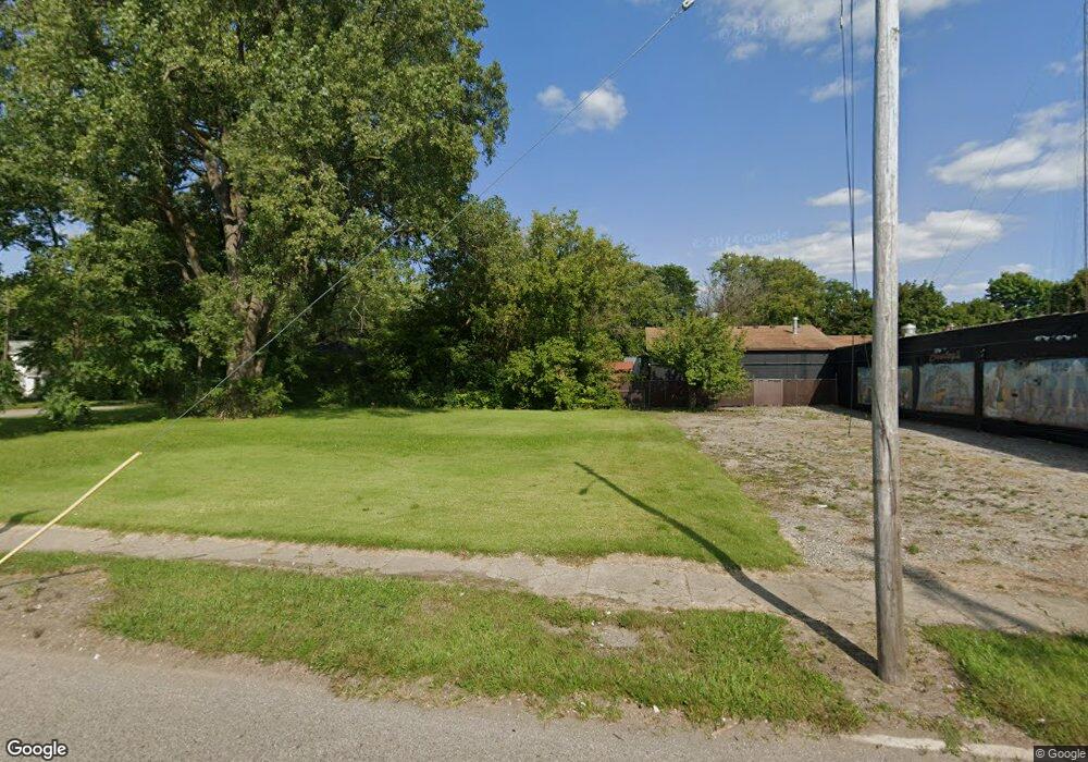
3610 N Franklin Ave Flint, MI 48506
Eastside NeighborhoodEstimated Value: $43,000 - $244,000
2
Beds
1
Bath
804
Sq Ft
$192/Sq Ft
Est. Value
About This Home
This home is located at 3610 N Franklin Ave, Flint, MI 48506 and is currently estimated at $154,667, approximately $192 per square foot. 3610 N Franklin Ave is a home located in Genesee County with nearby schools including Brownell STEM Academy, Richfield Public School Academy, and Richfield Early Learning Center.
Ownership History
Date
Name
Owned For
Owner Type
Purchase Details
Closed on
Jan 17, 2018
Sold by
Williams Mark and Williams Gary
Bought by
Conleys Collsion 1 Llc
Current Estimated Value
Purchase Details
Closed on
Apr 24, 2014
Sold by
Genesee County Land Bank Authority
Bought by
Conleys Collision Inc
Purchase Details
Closed on
Dec 21, 2009
Sold by
Kildee Daniel T
Bought by
Genesee County Land Bank Authority
Purchase Details
Closed on
Mar 31, 2009
Sold by
Holley Larry
Bought by
Treasure Enterprise Llc
Purchase Details
Closed on
Sep 22, 2008
Sold by
Naylor Lavearne
Bought by
Holley Larry A
Purchase Details
Closed on
Jul 24, 2006
Sold by
Naler Donald
Bought by
Holley Larry A
Create a Home Valuation Report for This Property
The Home Valuation Report is an in-depth analysis detailing your home's value as well as a comparison with similar homes in the area
Home Values in the Area
Average Home Value in this Area
Purchase History
| Date | Buyer | Sale Price | Title Company |
|---|---|---|---|
| Conleys Collsion 1 Llc | -- | Cislo Title Co | |
| Williams Mark | $60,000 | Cislo Title Co | |
| Conleys Collision Inc | $400 | None Available | |
| Genesee County Land Bank Authority | -- | None Available | |
| Treasure Enterprise Llc | -- | Cislo Title Company | |
| Holley Larry A | $7,200 | None Available | |
| Holley Larry A | $7,200 | None Available |
Source: Public Records
Mortgage History
| Date | Status | Borrower | Loan Amount |
|---|---|---|---|
| Closed | Holley Larry A | $0 |
Source: Public Records
Tax History Compared to Growth
Tax History
| Year | Tax Paid | Tax Assessment Tax Assessment Total Assessment is a certain percentage of the fair market value that is determined by local assessors to be the total taxable value of land and additions on the property. | Land | Improvement |
|---|---|---|---|---|
| 2025 | $163 | $2,500 | $0 | $0 |
| 2024 | $153 | $2,000 | $0 | $0 |
| 2023 | $159 | $1,800 | $0 | $0 |
| 2022 | $0 | $1,500 | $0 | $0 |
| 2021 | $190 | $1,500 | $0 | $0 |
| 2020 | $180 | $1,400 | $0 | $0 |
| 2019 | $186 | $1,200 | $0 | $0 |
| 2018 | $176 | $1,500 | $0 | $0 |
| 2017 | $188 | $0 | $0 | $0 |
| 2016 | $188 | $0 | $0 | $0 |
| 2015 | -- | $0 | $0 | $0 |
| 2014 | -- | $0 | $0 | $0 |
| 2012 | -- | $0 | $0 | $0 |
Source: Public Records
Map
Nearby Homes
- 1805 Montana Ave
- 1623 Montana Ave
- 1733 Oklahoma Ave
- 1510 Utah Ave
- 1526 Montana Ave
- 1518 Leith St
- 1422 Leith St
- 2901 Henry St
- 1721 New York Ave
- 3912 Douglas Ave
- 2506 Arlington Ave
- 1629 New York Ave
- 1445 Maryland Ave
- 1622 New York Ave
- 2935 Richfield Rd
- 3010 Wyoming Ave
- 1454 Delaware Ave
- 1449 New York Ave
- 4127 Coggins Ave
- 2426 Hoff St
- 1912 Marshall St
- 3614 N Franklin Ave
- 1914 Marshall St
- 1923 Utah Ave
- 1913 Marshall St
- 1924 Marshall St
- 1928 Marshall St
- 1917 Utah Ave
- 3509 N Franklin Ave
- 2001 Utah Ave
- 1919 Marshall St
- 1923 Marshall St
- 2002 Marshall St
- 2005 Utah Ave
- 1826 Utah Ave
- 1906 Knapman St
- 2001 Marshall St
- 3718 N Franklin Ave
- 1918 Knapman St
- 2010 Marshall St