3611 Keystone Rd Fairbanks, AK 99709
Goldstream NeighborhoodEstimated Value: $129,000 - $471,000
--
Bed
2
Baths
2,112
Sq Ft
$167/Sq Ft
Est. Value
About This Home
This home is located at 3611 Keystone Rd, Fairbanks, AK 99709 and is currently estimated at $351,707, approximately $166 per square foot. 3611 Keystone Rd is a home with nearby schools including Pearl Creek Elementary School, Randy Smith Middle School, and West Valley High School.
Ownership History
Date
Name
Owned For
Owner Type
Purchase Details
Closed on
Apr 4, 2012
Sold by
Krause Thomas Felix and Schiewer Silke
Bought by
Gray Andrew M and Gray Rebekah M
Current Estimated Value
Home Financials for this Owner
Home Financials are based on the most recent Mortgage that was taken out on this home.
Original Mortgage
$70,000
Interest Rate
3.91%
Purchase Details
Closed on
Mar 13, 2009
Sold by
Uncommon Ground Neighborhood Initiative
Bought by
Krause Thomas Felix and Schiewer Silke
Create a Home Valuation Report for This Property
The Home Valuation Report is an in-depth analysis detailing your home's value as well as a comparison with similar homes in the area
Home Values in the Area
Average Home Value in this Area
Purchase History
| Date | Buyer | Sale Price | Title Company |
|---|---|---|---|
| Gray Andrew M | -- | Fta | |
| Krause Thomas Felix | -- | None Available |
Source: Public Records
Mortgage History
| Date | Status | Borrower | Loan Amount |
|---|---|---|---|
| Closed | Gray Andrew M | $70,000 |
Source: Public Records
Tax History Compared to Growth
Tax History
| Year | Tax Paid | Tax Assessment Tax Assessment Total Assessment is a certain percentage of the fair market value that is determined by local assessors to be the total taxable value of land and additions on the property. | Land | Improvement |
|---|---|---|---|---|
| 2025 | $6,624 | $381,890 | $73,074 | $308,816 |
| 2024 | $6,645 | $387,499 | $73,074 | $314,425 |
| 2023 | $6,486 | $381,148 | $73,074 | $308,074 |
| 2022 | $6,420 | $340,323 | $73,074 | $267,249 |
| 2021 | $6,657 | $323,057 | $73,074 | $249,983 |
| 2020 | $6,505 | $312,584 | $73,074 | $239,510 |
| 2019 | $5,662 | $316,921 | $73,074 | $243,847 |
| 2018 | $5,205 | $311,408 | $73,074 | $238,334 |
| 2017 | $5,216 | $305,519 | $73,074 | $232,445 |
| 2016 | $4,904 | $296,946 | $73,074 | $223,872 |
| 2015 | $643 | $190,910 | $73,074 | $117,836 |
| 2014 | $643 | $187,781 | $73,074 | $114,707 |
Source: Public Records
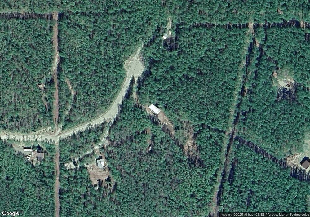
Map
Nearby Homes
- 3825 Frenchman Rd
- 3854 Frenchman Rd
- 3910 Frenchman Rd
- 1385 Coyote Trail
- 4289 Frozen Trail
- 1657 Old John Trail
- L12 B2 Obsidian Ct
- NHN Obsidian Ct
- 2832 Opal Ave
- 1170 Propwash Dr
- 3075 Darling Ave
- 2360 Lichen Way
- 2330 Stevens Ave
- 396 Nordstrasse
- 2310 Franklin St
- NHN Murphy Dome Rd
- 1269 Helios Ave
- 2231 Sunshine Ave
- 0 Pine Wood Rd
- 641 Miller Hill Rd
- 3601 Keystone Rd
- 3613 Keystone Rd
- 3640 Keystone Rd
- 3629 Keystone Rd
- 1605 Photon Dr
- 1641 Photon Dr
- 1608 Photon Dr
- 9 Photon Dr
- 1529 Photon Dr
- 1614 Photon Dr
- 3655 Keystone Rd
- 3660 Keystone Rd
- 1654 Photon Dr
- 3626 Spinach Creek Rd
- 3656 Spinach Creek Rd
- 1565 Photon Dr
- 1602 Photon Dr
- 1580 Photon Dr
- 3681 Keystone Rd
- 1657 Sunlight Dr