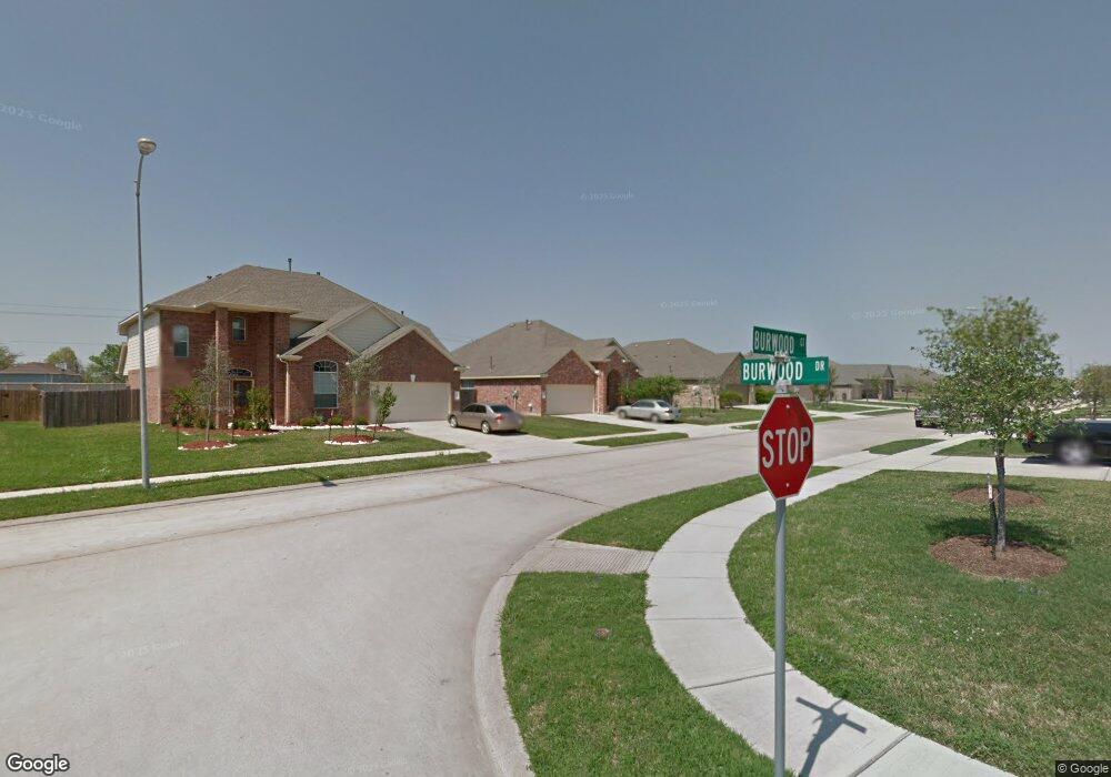
3612 Burwood Ct Pearland, TX 77584
Estimated Value: $350,474 - $413,000
4
Beds
2
Baths
2,591
Sq Ft
$148/Sq Ft
Est. Value
About This Home
This home is located at 3612 Burwood Ct, Pearland, TX 77584 and is currently estimated at $383,619, approximately $148 per square foot. 3612 Burwood Ct is a home located in Brazoria County with nearby schools including Magnolia Elementary School, Pearland Junior High School South, and Sam Jamison Middle School.
Ownership History
Date
Name
Owned For
Owner Type
Purchase Details
Closed on
Jan 27, 2017
Sold by
Henry Lizette
Bought by
Ho Kevin
Current Estimated Value
Purchase Details
Closed on
Jan 26, 2017
Sold by
Henry Fred D
Bought by
Henry Lizette
Purchase Details
Closed on
Jan 9, 2009
Sold by
D R Horton Texas Ltd
Bought by
Henry Lizette
Home Financials for this Owner
Home Financials are based on the most recent Mortgage that was taken out on this home.
Original Mortgage
$180,087
Interest Rate
5.48%
Mortgage Type
FHA
Create a Home Valuation Report for This Property
The Home Valuation Report is an in-depth analysis detailing your home's value as well as a comparison with similar homes in the area
Home Values in the Area
Average Home Value in this Area
Purchase History
| Date | Buyer | Sale Price | Title Company |
|---|---|---|---|
| Ho Kevin | -- | None Available | |
| Henry Lizette | -- | None Available | |
| Henry Lizette | -- | Dhi Title |
Source: Public Records
Mortgage History
| Date | Status | Borrower | Loan Amount |
|---|---|---|---|
| Previous Owner | Henry Lizette | $180,087 |
Source: Public Records
Tax History Compared to Growth
Tax History
| Year | Tax Paid | Tax Assessment Tax Assessment Total Assessment is a certain percentage of the fair market value that is determined by local assessors to be the total taxable value of land and additions on the property. | Land | Improvement |
|---|---|---|---|---|
| 2025 | $9,820 | $343,250 | $42,640 | $300,610 |
| 2023 | $9,820 | $357,350 | $42,640 | $314,710 |
| 2022 | $8,783 | $277,440 | $28,430 | $249,010 |
| 2021 | $8,321 | $245,000 | $28,430 | $216,570 |
| 2020 | $9,073 | $257,900 | $28,430 | $229,470 |
| 2019 | $8,009 | $227,620 | $28,430 | $199,190 |
| 2018 | $7,715 | $220,000 | $28,430 | $191,570 |
| 2017 | $7,428 | $211,000 | $28,430 | $182,570 |
| 2016 | $8,274 | $235,040 | $28,430 | $206,610 |
| 2014 | $6,944 | $192,760 | $28,430 | $164,330 |
Source: Public Records
Map
Nearby Homes
- 3703 Canterbury Park Dr
- 3705 Canterbury Park Dr
- 3804 Parry Fields Ct
- 3806 Canterbury Park Dr
- 4015 Cedarwood Dr
- 3910 Greenwood Dr
- 3509 Pentland Downs St
- 4806 Chaperel Dr
- 4013 Ivywood Dr
- 3307 Norma Ln
- 3911 Spring Garden Dr
- 4967 Millican Dr
- 5101 Big Spring Dr
- 16622 Mclean Rd
- 5205 Spring Branch Dr
- 16719 Mclean Rd
- 3224 Woodrose Orchard
- 4004 Green Anjou Ln
- 4013 Green Anjou Ln
- 7206 Williams Rd
- 4209 Canterbury Park Ln
- 3614 Burwood Ct
- 4211 Canterbury Park Ln
- 4207 Canterbury Park Ln
- 3610 Burwood Ct
- 3702 Burwood Ct
- 3608 Burwood Ct
- 3611 Burwood Ct
- 3609 Burwood Ct
- 3704 Burwood Ct
- 3606 Burwood Ct
- 3613 Barrington Ct
- 3607 Burwood Ct
- 3701 Burwood Ct
- 3611 Barrington Ct
- 3615 Barrington Ct
- 3605 Burwood Ct
- 3612 Canterbury Park Dr
- 3614 Canterbury Park Dr
- 3610 Canterbury Park Dr