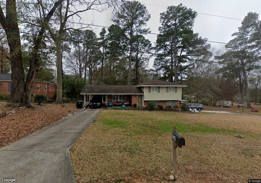
3612 E Britt David Rd Columbus, GA 31909
North Columbus NeighborhoodEstimated Value: $185,000 - $251,000
About This Home
This home is located at 3612 E Britt David Rd, Columbus, GA 31909 and is currently estimated at $220,874, approximately $115 per square foot. 3612 E Britt David Rd is a home located in Muscogee County with nearby schools including Gentian Elementary School, Midland Middle School, and Hardaway High School.
Ownership History
We collect this data history from publicly available records. To have your information removed, we recommend requesting removal directly through your county’s website.
Purchase Details
Home Financials for this Owner
Home Financials are based on the most recent Mortgage that was taken out on this home.Purchase Details
Home Financials for this Owner
Home Financials are based on the most recent Mortgage that was taken out on this home.Purchase Details
Home Values in the Area
Average Home Value in this Area
Purchase History
We collect this data history from publicly available records. To have your information removed, we recommend requesting removal directly through your county’s website.
| Date | Buyer | Sale Price | Title Company |
|---|---|---|---|
| $143,000 | -- | ||
| $58,150 | -- | ||
| $48,888 | -- |
Mortgage History
We collect this data history from publicly available records. To have your information removed, we recommend requesting removal directly through your county’s website.
| Date | Status | Borrower | Loan Amount |
|---|---|---|---|
| Open | $138,710 | ||
| Previous Owner | $98,000 |
Tax History
We collect this data history from publicly available records. To have your information removed, we recommend requesting removal directly through your county’s website.
| Year | Tax Paid | Tax Assessment Tax Assessment Total Assessment is a certain percentage of the fair market value that is determined by local assessors to be the total taxable value of land and additions on the property. | Land | Improvement |
|---|---|---|---|---|
| 2025 | $1,441 | $54,028 | $8,908 | $45,120 |
| 2024 | $1,440 | $54,028 | $8,908 | $45,120 |
| 2023 | $755 | $54,028 | $8,908 | $45,120 |
| 2022 | $1,501 | $49,868 | $8,908 | $40,960 |
| 2021 | $1,494 | $49,992 | $8,908 | $41,084 |
| 2020 | $1,495 | $49,992 | $8,908 | $41,084 |
| 2019 | $952 | $23,240 | $4,120 | $19,120 |
| 2018 | $93 | $50,348 | $8,908 | $41,440 |
| 2017 | $39 | $48,888 | $8,908 | $39,980 |
| 2016 | $36 | $25,239 | $2,106 | $23,133 |
| 2015 | $15 | $25,239 | $2,106 | $23,133 |
| 2014 | $16 | $25,239 | $2,106 | $23,133 |
| 2013 | -- | $25,239 | $2,106 | $23,133 |
Map
- 3501 Vernon Dr
- 3858 Fortson Ln
- 3853 E Britt David Rd
- 3504 Vernon Dr
- 3626 Grier Ave
- 5502 Southlea Ln
- 5531 Emily Dr
- 5435 Wayne Dr
- 3710 Winkfield Place
- 3719 Winkfield Place
- 5 Neassie Ct
- 3801 Winkfield Place
- 4520 Marci Ct
- 3839 Winkfield Place
- 4017 River Rock Way
- 5224 Miller Rd
- 5820 Windsor Dr
- 4135 King Arthur Place
- 4151 Anglin Rd Unit 22B
- 5828 Sherborne Dr
- 3618 E Britt David Rd
- 3608 E Britt David Rd
- 3624 E Britt David Rd
- 3600 E Britt David Rd
- 3609 E Britt David Rd
- 3615 E Britt David Rd
- 5263 Boyd Dr
- 3601 E Britt David Rd
- 3625 E Britt David Rd
- 3632 E Britt David Rd
- 3604 E Britt David Rd
- 5251 Boyd Dr
- 5287 Boyd Dr
- 5301 Louise Dr
- 5322 Louise Dr
- 5327 Boyd Dr
- 5309 Louise Dr
- 0 Boyd Branch Dr Unit 4 8005092
- 0 Boyd Branch Dr Unit 3 8005086
- 0 Boyd Branch Dr Unit 2 8005080
Ask me questions while you tour the home.