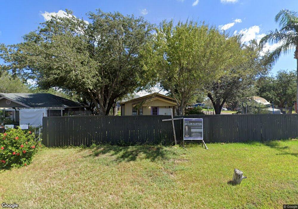
3613 Mile 10 N Mercedes, TX 78570
Estimated Value: $108,000 - $172,000
3
Beds
2
Baths
1,092
Sq Ft
$123/Sq Ft
Est. Value
About This Home
This home is located at 3613 Mile 10 N, Mercedes, TX 78570 and is currently estimated at $134,528, approximately $123 per square foot. 3613 Mile 10 N is a home located in Hidalgo County with nearby schools including Airport Elementary School, Mary Hoge Middle School, and Weslaco East High School.
Ownership History
Date
Name
Owned For
Owner Type
Purchase Details
Closed on
Sep 15, 2023
Sold by
Delos Santos Marcos and Delos Nidia
Bought by
Bella Rose Real Estate Llc
Current Estimated Value
Purchase Details
Closed on
Jan 26, 2017
Sold by
Los Santos Trinidad M De Los and Los Santos Jr Emilio De
Bought by
Santos Marcos De Los
Purchase Details
Closed on
Aug 27, 2015
Sold by
Delos Santos Trinidad M and Estate Of Ede Los Santos Jr
Bought by
Weslaco Independent School District and Hidalgo County
Create a Home Valuation Report for This Property
The Home Valuation Report is an in-depth analysis detailing your home's value as well as a comparison with similar homes in the area
Home Values in the Area
Average Home Value in this Area
Purchase History
| Date | Buyer | Sale Price | Title Company |
|---|---|---|---|
| Bella Rose Real Estate Llc | -- | None Listed On Document | |
| Santos Marcos De Los | $24,000 | None Available | |
| Weslaco Independent School District | -- | None Available |
Source: Public Records
Tax History Compared to Growth
Tax History
| Year | Tax Paid | Tax Assessment Tax Assessment Total Assessment is a certain percentage of the fair market value that is determined by local assessors to be the total taxable value of land and additions on the property. | Land | Improvement |
|---|---|---|---|---|
| 2025 | $1,259 | $92,849 | $35,904 | $56,945 |
| 2024 | $1,259 | $67,192 | $35,904 | $31,288 |
| 2023 | $1,248 | $67,192 | $35,904 | $31,288 |
| 2022 | $1,009 | $53,595 | $25,344 | $28,251 |
| 2021 | $937 | $48,742 | $25,344 | $23,398 |
| 2020 | $634 | $31,855 | $13,094 | $18,761 |
| 2019 | $626 | $30,068 | $13,094 | $16,974 |
| 2018 | $646 | $30,961 | $13,094 | $17,867 |
| 2017 | $656 | $31,557 | $13,094 | $18,463 |
| 2016 | $649 | $31,214 | $13,094 | $18,120 |
| 2015 | $757 | $31,780 | $13,094 | $18,686 |
Source: Public Records
Map
Nearby Homes
- 3304 Rodeo Dr
- 3800 Cowboy Dr
- 3510 Abbey St
- 4112 Adare St
- 4614 Devon St
- 5263 Tyler St
- 0 Development Dr
- 6393 Mile 3 1 2 W
- 4517 N Mile 3 1 2 W
- 5424 Tyler St
- 12517 Mile 2 W
- 0 Ave
- 000 Economic Ave
- 2003 Summerview Dr
- 3027 E Mile 11 N
- 1415 Petri Dr
- 5569 Mile 9 Rd N
- 2808 Rosemary Dr
- 3820 Monica Dr
- 000 Mile 4 Rd W
- 3609 Mile 10 N
- 4113 Truman St
- 3605 Mile 10 N
- 3703 Mile 10 N
- 4112 Truman St
- 4114 Roosevelt St
- 4116 Truman St
- 3711 Mile 10 N
- 4203 Truman St
- 4118 Roosevelt St
- 4202 Truman St
- 4204 Roosevelt St
- 4111 Jose Eloy Pulido St
- 3715 Mile 10 N
- 3515 Mile 10 N
- 4207 Truman St
- 4115 Jose Eloy Pulido St
- 4206 Truman St
- 4115 Roosevelt St
- 4208 Roosevelt St