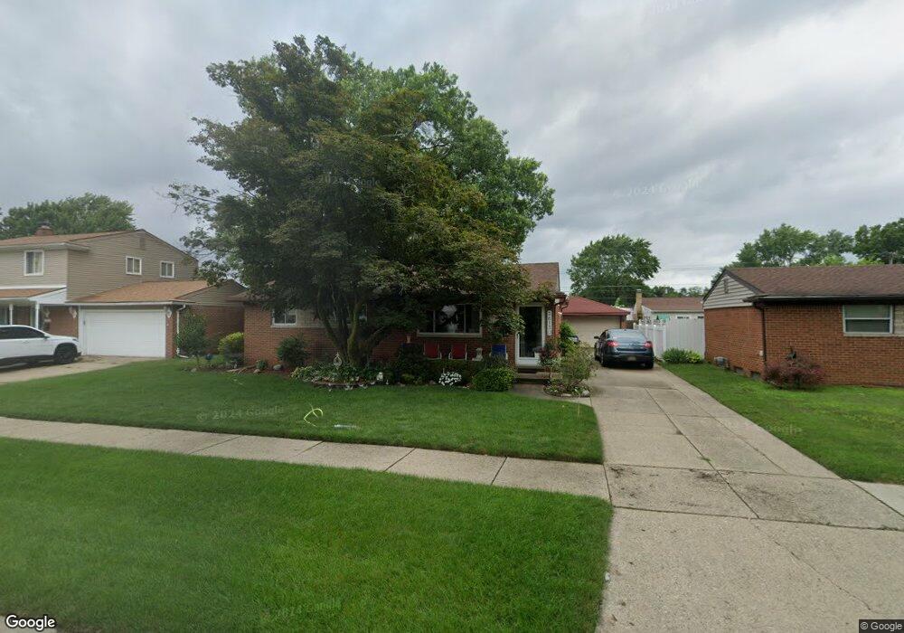
36130 Canyon Dr Westland, MI 48186
Estimated Value: $201,746 - $260,000
--
Bed
1
Bath
1,188
Sq Ft
$199/Sq Ft
Est. Value
About This Home
This home is located at 36130 Canyon Dr, Westland, MI 48186 and is currently estimated at $236,187, approximately $198 per square foot. 36130 Canyon Dr is a home located in Wayne County with nearby schools including Wildwood Elementary School, Marshall Upper Elementary School, and Adlai Stevenson Middle School.
Ownership History
Date
Name
Owned For
Owner Type
Purchase Details
Closed on
Nov 17, 2023
Sold by
Mosier Lawrence P and Mosier Marion F
Bought by
Mosier Lawrence P and Mosier Lawrence P
Current Estimated Value
Purchase Details
Closed on
Dec 18, 2008
Sold by
Mosier Lawrence Paul and Mosier Marion Frances
Bought by
Mosier Lawrence P
Create a Home Valuation Report for This Property
The Home Valuation Report is an in-depth analysis detailing your home's value as well as a comparison with similar homes in the area
Home Values in the Area
Average Home Value in this Area
Purchase History
| Date | Buyer | Sale Price | Title Company |
|---|---|---|---|
| Mosier Lawrence P | -- | None Listed On Document | |
| Mosier Lawrence P | -- | None Listed On Document | |
| Mosier Lawrence P | -- | None Listed On Document | |
| Mosier Lawrence P | -- | None Listed On Document | |
| Mosier Lawrence P | -- | None Available |
Source: Public Records
Tax History Compared to Growth
Tax History
| Year | Tax Paid | Tax Assessment Tax Assessment Total Assessment is a certain percentage of the fair market value that is determined by local assessors to be the total taxable value of land and additions on the property. | Land | Improvement |
|---|---|---|---|---|
| 2025 | $2,158 | $107,300 | $0 | $0 |
| 2024 | $2,158 | $99,300 | $0 | $0 |
| 2023 | $2,060 | $89,700 | $0 | $0 |
| 2022 | $2,396 | $79,900 | $0 | $0 |
| 2021 | $2,336 | $76,600 | $0 | $0 |
| 2020 | $2,310 | $69,900 | $0 | $0 |
| 2019 | $2,226 | $67,000 | $0 | $0 |
| 2018 | $1,695 | $59,500 | $0 | $0 |
| 2017 | $796 | $54,500 | $0 | $0 |
| 2016 | $2,161 | $55,100 | $0 | $0 |
| 2015 | $4,196 | $50,690 | $0 | $0 |
| 2013 | $4,065 | $42,470 | $0 | $0 |
| 2012 | $1,995 | $44,090 | $0 | $0 |
Source: Public Records
Map
Nearby Homes
- 36034 Rolf St
- 35608 Somerset St
- 36293 Monroe Ave
- 36323 Monroe Ave
- 540 Dartmouth Crescent Ct
- 35720 Glen St
- 612 Bedford Dr
- 624 N Parent St
- 35193 Sansburn St
- 344 S Christine
- 35236 Glen St
- 35228 Rosslyn St
- 357 S Dobson St
- 1519 S Dowling St
- 34728 Somerset St
- 35209 Sheridan St
- 284 S Byfield St
- 34610 School St
- 366 S Wildwood St
- 232 S Wildwood St
- 36118 Canyon Dr
- 36142 Canyon Dr
- 36117 Somerset St
- 36105 Somerset St
- 36129 Somerset St
- 36106 Canyon Dr
- 36154 Canyon Dr
- 35965 Somerset St
- 36141 Somerset St
- 36129 Canyon Dr
- 36141 Canyon Dr
- 36117 Canyon Dr
- 36166 Canyon Dr
- 35964 Canyon Dr
- 36153 Canyon Dr
- 36105 Canyon Dr
- 36153 Somerset St
- 35953 Somerset St
- 36208 Canyon Dr
- 35952 Canyon Dr