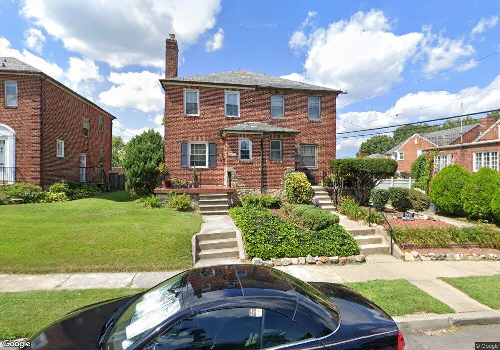
3614 Crossland Ave Baltimore, MD 21213
Herring Run Park NeighborhoodEstimated Value: $266,000 - $274,859
3
Beds
2
Baths
--
Sq Ft
2,614
Sq Ft Lot
About This Home
This home is located at 3614 Crossland Ave, Baltimore, MD 21213 and is currently estimated at $270,430. 3614 Crossland Ave is a home located in Baltimore City with nearby schools including Montebello Elementary/Middle School, Booker T. Washington Middle School, and Paul Laurence Dunbar High School.
Ownership History
Date
Name
Owned For
Owner Type
Purchase Details
Closed on
Apr 16, 2008
Sold by
Kearns Douglas P
Bought by
Jacobs Allen and Jacobs Melanie Lee
Current Estimated Value
Home Financials for this Owner
Home Financials are based on the most recent Mortgage that was taken out on this home.
Original Mortgage
$180,000
Outstanding Balance
$111,504
Interest Rate
5.72%
Mortgage Type
Purchase Money Mortgage
Estimated Equity
$158,926
Purchase Details
Closed on
May 20, 1999
Sold by
Wright Wilhelmina
Bought by
Kearns Douglas P and Holden Susan M
Create a Home Valuation Report for This Property
The Home Valuation Report is an in-depth analysis detailing your home's value as well as a comparison with similar homes in the area
Home Values in the Area
Average Home Value in this Area
Purchase History
| Date | Buyer | Sale Price | Title Company |
|---|---|---|---|
| Jacobs Allen | $200,000 | -- | |
| Kearns Douglas P | $84,000 | -- |
Source: Public Records
Mortgage History
| Date | Status | Borrower | Loan Amount |
|---|---|---|---|
| Open | Jacobs Allen | $180,000 | |
| Closed | Jacobs Allen | $3,000 |
Source: Public Records
Tax History Compared to Growth
Tax History
| Year | Tax Paid | Tax Assessment Tax Assessment Total Assessment is a certain percentage of the fair market value that is determined by local assessors to be the total taxable value of land and additions on the property. | Land | Improvement |
|---|---|---|---|---|
| 2025 | $4,212 | $221,200 | $60,000 | $161,200 |
| 2024 | $4,212 | $208,033 | $0 | $0 |
| 2023 | $4,015 | $194,867 | $0 | $0 |
| 2022 | $3,951 | $181,700 | $60,000 | $121,700 |
| 2021 | $4,288 | $181,700 | $60,000 | $121,700 |
| 2020 | $3,944 | $181,700 | $60,000 | $121,700 |
| 2019 | $4,035 | $187,100 | $60,000 | $127,100 |
| 2018 | $4,018 | $183,700 | $0 | $0 |
| 2017 | $3,978 | $180,300 | $0 | $0 |
| 2016 | $4,394 | $176,900 | $0 | $0 |
| 2015 | $4,394 | $176,900 | $0 | $0 |
| 2014 | $4,394 | $176,900 | $0 | $0 |
Source: Public Records
Map
Nearby Homes
- 2623 Kentucky Ave
- 2220 Lake Ave
- 3427 Woodstock Ave
- 3301 Richmond Ave
- 3402 Parklawn Ave
- 3316 Parklawn Ave
- 3401 Teresa Ct
- 2828 Pelham Ave
- 2812 Erdman Ave
- 2823 Lake Ave
- 2811 Erdman Ave
- 3414 Harford Rd
- 2846 Lake Ave
- 2864 Kentucky Ave
- 2839 Mayfield Ave
- 3444 Belair Rd
- 3438 Belair Rd
- 2891 Pelham Ave
- 2867 Mayfield Ave
- 3210 Harford Rd
- 3612 Crossland Ave
- 3610 Crossland Ave
- 2423 Chesterfield Ave
- 2421 Chesterfield Ave
- 2430 Pelham Ave
- 2419 Chesterfield Ave
- 2428 Pelham Ave
- 2417 Chesterfield Ave
- 3606 Crossland Ave
- 2501 Chesterfield Ave
- 3623 Crossland Ave
- 3621 Crossland Ave
- 3604 Crossland Ave
- 3619 Crossland Ave
- 2424 Pelham Ave
- 2415 Chesterfield Ave
- 3617 Crossland Ave
- 2425 Pelham Ave
- 3602 Crossland Ave
- 2422 Pelham Ave