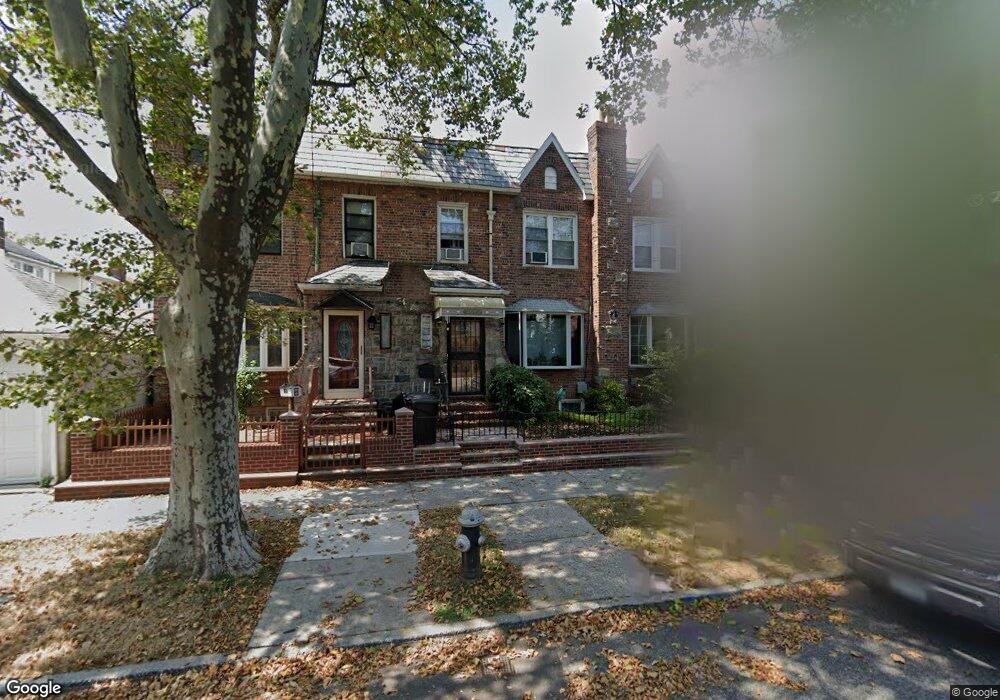
3615 Avenue P Brooklyn, NY 11234
Marine Park NeighborhoodEstimated Value: $832,211 - $872,000
--
Bed
--
Bath
1,360
Sq Ft
$632/Sq Ft
Est. Value
About This Home
This home is located at 3615 Avenue P, Brooklyn, NY 11234 and is currently estimated at $859,303, approximately $631 per square foot. 3615 Avenue P is a home located in Kings County with nearby schools including PS 222 Katherine R Snyder, J.H.S. 278 Marine Park, and James Madison High School.
Ownership History
Date
Name
Owned For
Owner Type
Purchase Details
Closed on
Sep 18, 2000
Sold by
Stemma Giovanni
Bought by
Rodriguez Lillian M
Current Estimated Value
Home Financials for this Owner
Home Financials are based on the most recent Mortgage that was taken out on this home.
Original Mortgage
$223,250
Outstanding Balance
$79,809
Interest Rate
7.83%
Estimated Equity
$779,494
Purchase Details
Closed on
Nov 12, 1997
Sold by
Primavera Gloria
Bought by
Rodriguez Patricia and Stemma Giovanni
Home Financials for this Owner
Home Financials are based on the most recent Mortgage that was taken out on this home.
Original Mortgage
$175,500
Interest Rate
7.09%
Create a Home Valuation Report for This Property
The Home Valuation Report is an in-depth analysis detailing your home's value as well as a comparison with similar homes in the area
Home Values in the Area
Average Home Value in this Area
Purchase History
| Date | Buyer | Sale Price | Title Company |
|---|---|---|---|
| Rodriguez Lillian M | $235,000 | Commonwealth Land Title Ins | |
| Rodriguez Lillian M | -- | Commonwealth Land Title Ins | |
| Rodriguez Patricia | $195,000 | Fidelity National Title Ins | |
| Rodriguez Patricia | $195,000 | Fidelity National Title Ins |
Source: Public Records
Mortgage History
| Date | Status | Borrower | Loan Amount |
|---|---|---|---|
| Open | Rodriguez Lillian M | $223,250 | |
| Closed | Rodriguez Lillian M | $223,250 | |
| Previous Owner | Rodriguez Patricia | $175,500 |
Source: Public Records
Tax History Compared to Growth
Tax History
| Year | Tax Paid | Tax Assessment Tax Assessment Total Assessment is a certain percentage of the fair market value that is determined by local assessors to be the total taxable value of land and additions on the property. | Land | Improvement |
|---|---|---|---|---|
| 2025 | $6,711 | $50,580 | $9,720 | $40,860 |
| 2024 | $6,711 | $49,860 | $9,720 | $40,140 |
| 2023 | $6,386 | $43,800 | $9,720 | $34,080 |
| 2022 | $6,270 | $40,080 | $9,720 | $30,360 |
| 2021 | $6,468 | $43,980 | $9,720 | $34,260 |
| 2020 | $4,851 | $35,160 | $9,720 | $25,440 |
| 2019 | $5,776 | $35,160 | $9,720 | $25,440 |
| 2018 | $5,282 | $27,370 | $6,463 | $20,907 |
| 2017 | $5,280 | $27,370 | $7,027 | $20,343 |
| 2016 | $5,045 | $26,784 | $7,748 | $19,036 |
| 2015 | $2,895 | $25,627 | $8,671 | $16,956 |
| 2014 | $2,895 | $24,177 | $9,047 | $15,130 |
Source: Public Records
Map
Nearby Homes
- 3710 Avenue P
- 1554 E 38th St
- 1531 E 37th St
- 1530 E 38th St
- 1638 E 36th St
- 1674 E 38th St
- 3617 Quentin Rd
- 1569 E 34th St
- 3707 Quentin Rd
- 3313 Avenue P
- 3920 Avenue P
- 1664 E 35th St
- 1517 E 34th St
- 1532 Kimball St
- 3620 Quentin Rd
- 1523 E 33rd St
- 1711 E 36th St
- 3806 Quentin Rd
- 1544 E 34th St
- 1513 Kimball St
- 3617 Avenue P
- 3613 Avenue P
- 3621 Avenue P
- 3623 Avenue P
- 1576 E 37th St
- 1576 E 37th St Unit Building
- 1579 E 36th St
- 1574 E 37th St
- 1581 E 36th St
- 1577 E 36th St
- 1585 E 36th St
- 1575 E 36th St
- 1572 E 37th St
- 1573 E 36th St
- 1571 E 36th St
- 3701 Avenue P
- 1570 E 37th St
- 1570 E 37 St
- 1569 E 36th St
- 3703 Avenue P