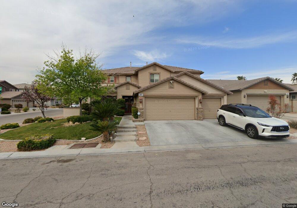
3615 Bryson Ct Las Vegas, NV 89135
South Summerlin NeighborhoodEstimated Value: $917,000 - $1,001,000
4
Beds
3
Baths
3,710
Sq Ft
$261/Sq Ft
Est. Value
About This Home
This home is located at 3615 Bryson Ct, Las Vegas, NV 89135 and is currently estimated at $969,629, approximately $261 per square foot. 3615 Bryson Ct is a home located in Clark County with nearby schools including Judy & John L. Goolsby Elementary School, Victoria Fertitta Middle School, and Spring Valley High School.
Ownership History
Date
Name
Owned For
Owner Type
Purchase Details
Closed on
Jan 7, 2002
Sold by
Kb Home Nevada Inc
Bought by
Berry Charles E and Berry Holli J
Current Estimated Value
Home Financials for this Owner
Home Financials are based on the most recent Mortgage that was taken out on this home.
Original Mortgage
$219,500
Outstanding Balance
$89,507
Interest Rate
7.01%
Estimated Equity
$880,122
Create a Home Valuation Report for This Property
The Home Valuation Report is an in-depth analysis detailing your home's value as well as a comparison with similar homes in the area
Home Values in the Area
Average Home Value in this Area
Purchase History
| Date | Buyer | Sale Price | Title Company |
|---|---|---|---|
| Berry Charles E | $304,305 | First American Title Co |
Source: Public Records
Mortgage History
| Date | Status | Borrower | Loan Amount |
|---|---|---|---|
| Open | Berry Charles E | $219,500 |
Source: Public Records
Tax History Compared to Growth
Tax History
| Year | Tax Paid | Tax Assessment Tax Assessment Total Assessment is a certain percentage of the fair market value that is determined by local assessors to be the total taxable value of land and additions on the property. | Land | Improvement |
|---|---|---|---|---|
| 2025 | $4,454 | $239,131 | $92,750 | $146,381 |
| 2024 | $4,325 | $239,131 | $92,750 | $146,381 |
| 2023 | $4,325 | $202,746 | $64,400 | $138,346 |
| 2022 | $4,275 | $183,563 | $57,050 | $126,513 |
| 2021 | $4,261 | $169,891 | $49,700 | $120,191 |
| 2020 | $3,953 | $165,886 | $46,900 | $118,986 |
| 2019 | $3,705 | $164,213 | $46,900 | $117,313 |
| 2018 | $3,535 | $152,049 | $39,900 | $112,149 |
| 2017 | $4,322 | $147,182 | $33,600 | $113,582 |
| 2016 | $3,309 | $139,441 | $26,250 | $113,191 |
| 2015 | $3,303 | $108,831 | $25,550 | $83,281 |
| 2014 | $3,200 | $120,490 | $20,300 | $100,190 |
Source: Public Records
Map
Nearby Homes
- 3567 Fair Bluff St
- 10557 Garden Light Dr Unit 2
- 3535 Coventry Gardens Dr
- 10457 Abbotsbury Dr
- 3618 Auckland Castle St
- 10591 Garden Rose Dr
- 10555 Garden Rose Dr
- 3552 Coventry Gardens Dr
- 10799 Flame Vine Ct
- 10922 Moonbeam Glow Ln
- 10341 Early Morning Ave
- 10685 Refectory Ave
- 10717 Refectory Ave
- 3744 Fading Sun St
- 10227 Sunset Gardens Dr
- 3612 Chelsea Gardens Dr Unit 2
- 10267 Early Morning Ave
- Luminary Plan at The Peaks - The Pointe at Ascension
- Royalty Plan at The Peaks - The Pointe at Ascension
- Kingsgate Plan at The Peaks - The Pointe at Ascension
- 3605 Bryson Ct Unit n/a
- 3605 Bryson Ct
- 3605 Bryson Ct Unit none
- 3616 Fair Bluff St
- 3596 Fair Bluff St
- 3595 Bryson Ct
- 3595 Bryson Ct Unit na
- 10571 Haywood Dr
- 10532 Haywood Dr
- 10532 Haywood Dr Unit N
- 10551 Haywood Dr
- 10581 Haywood Dr
- 10541 Haywood Dr
- 3586 Fair Bluff St
- 3604 Bryson Ct
- 3585 Bryson Ct
- 10522 Haywood Dr
- 10531 Haywood Dr
- 10591 Haywood Dr
- 3576 Fair Bluff St