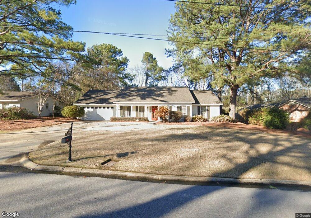
3615 Lancaster Ln Montgomery, AL 36106
Hillwood NeighborhoodEstimated Value: $261,000 - $292,000
--
Bed
--
Bath
2,235
Sq Ft
$125/Sq Ft
Est. Value
About This Home
This home is located at 3615 Lancaster Ln, Montgomery, AL 36106 and is currently estimated at $280,162, approximately $125 per square foot. 3615 Lancaster Ln is a home located in Montgomery County with nearby schools including Vaughn Road Elementary School, Goodwyn Middle School, and Johnson Abernathy Graetz (JAG) High School.
Ownership History
Date
Name
Owned For
Owner Type
Purchase Details
Closed on
Apr 27, 2006
Sold by
Head Martin E and Head Amy G
Bought by
Nunn William P
Current Estimated Value
Purchase Details
Closed on
Sep 28, 1998
Sold by
Baxter Dean Glenn and Smith Beverly
Bought by
Head Martin E and Head Amy G
Home Financials for this Owner
Home Financials are based on the most recent Mortgage that was taken out on this home.
Original Mortgage
$118,000
Interest Rate
6.96%
Create a Home Valuation Report for This Property
The Home Valuation Report is an in-depth analysis detailing your home's value as well as a comparison with similar homes in the area
Home Values in the Area
Average Home Value in this Area
Purchase History
| Date | Buyer | Sale Price | Title Company |
|---|---|---|---|
| Nunn William P | -- | None Available | |
| Head Martin E | -- | -- |
Source: Public Records
Mortgage History
| Date | Status | Borrower | Loan Amount |
|---|---|---|---|
| Previous Owner | Head Martin E | $118,000 |
Source: Public Records
Tax History Compared to Growth
Tax History
| Year | Tax Paid | Tax Assessment Tax Assessment Total Assessment is a certain percentage of the fair market value that is determined by local assessors to be the total taxable value of land and additions on the property. | Land | Improvement |
|---|---|---|---|---|
| 2025 | $1,268 | $51,860 | $7,000 | $44,860 |
| 2024 | $1,268 | $51,860 | $7,000 | $44,860 |
| 2023 | $1,268 | $49,940 | $12,000 | $37,940 |
| 2022 | $791 | $43,360 | $12,000 | $31,360 |
| 2021 | $763 | $20,900 | $0 | $0 |
| 2020 | $799 | $43,780 | $12,000 | $31,780 |
| 2019 | $794 | $43,480 | $12,000 | $31,480 |
| 2018 | $767 | $21,000 | $0 | $0 |
| 2017 | $747 | $40,920 | $12,000 | $28,920 |
| 2014 | $722 | $39,540 | $12,000 | $27,540 |
| 2013 | -- | $38,340 | $12,000 | $26,340 |
Source: Public Records
Map
Nearby Homes
- 1708 Shoreham Dr
- 3604 Silver Ln
- 3518 Silver Ln
- Harrison Plan at Windsor Hill
- Douglas Plan at Windsor Hill
- Grant Plan at Windsor Hill
- Plan 2175 - Carroll at Windsor Hill
- Campbell Plan at Windsor Hill
- 1809 Vaughn Ln
- 1221 Avondale Rd
- 1229 Karen Rd
- 3719 Windsor Hill Blvd
- 1705 Windsor Hill Ln
- 1701 Croom Dr
- 3718 Windsor Hill Blvd
- 3707 Donigle Park
- 1160 Beth Manor Dr
- 1102 Jameswood Ct
- 1743 Croom Dr
- 3266 Lancaster Ln
- 3609 Lancaster Ln
- 3621 Lancaster Ln
- 3601 Lancaster Ln
- 3627 Lancaster Ln
- 1700 Radcliffe Rd
- 1701 Fairforest Dr
- 1701 Radcliffe Rd
- 3555 Lancaster Ln
- 3633 Lancaster Ln
- 1707 Fairforest Dr
- 1706 Radcliffe Rd
- 3547 Lancaster Ln
- 3548 Lancaster Ln
- 3639 Lancaster Ln
- 3632 Lancaster Ln
- 1707 Radcliffe Rd
- 1713 Fairforest Dr
- 1712 Radcliffe Rd
- 3640 Lancaster Ln
- 3540 Lancaster Ln