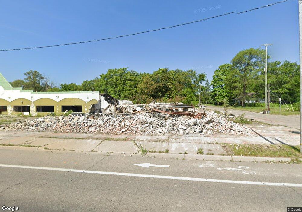
3615 N Saginaw St Flint, MI 48505
King Avenue Plus NeighborhoodEstimated Value: $76,547
--
Bed
--
Bath
21,297
Sq Ft
$4/Sq Ft
Est. Value
About This Home
This home is located at 3615 N Saginaw St, Flint, MI 48505 and is currently estimated at $76,547, approximately $3 per square foot. 3615 N Saginaw St is a home located in Genesee County with nearby schools including Brownell STEM Academy and Flint Cultural Center Academy.
Ownership History
Date
Name
Owned For
Owner Type
Purchase Details
Closed on
Dec 19, 2023
Sold by
Genesee County Treasurer
Bought by
Genesee Cnty Land Bk Authority
Current Estimated Value
Purchase Details
Closed on
Apr 1, 2016
Sold by
Abdulla Hemood
Bought by
Parker Gerald and Parker Michele
Purchase Details
Closed on
Nov 18, 2011
Sold by
Speed Frederic L
Bought by
Apex Commercial Capital Corp
Purchase Details
Closed on
Dec 11, 2000
Sold by
First Natl Accpt Co
Bought by
Speed Fredric L
Purchase Details
Closed on
Sep 20, 1999
Sold by
Paul Paul R and Paul Elvin
Bought by
First National Acceptance Company
Create a Home Valuation Report for This Property
The Home Valuation Report is an in-depth analysis detailing your home's value as well as a comparison with similar homes in the area
Home Values in the Area
Average Home Value in this Area
Purchase History
| Date | Buyer | Sale Price | Title Company |
|---|---|---|---|
| Genesee Cnty Land Bk Authority | -- | None Listed On Document | |
| Parker Gerald | -- | Attorney | |
| Apex Commercial Capital Corp | $135,000 | None Available | |
| Speed Fredric L | $55,000 | -- | |
| First National Acceptance Company | -- | Lawyers Title |
Source: Public Records
Tax History Compared to Growth
Tax History
| Year | Tax Paid | Tax Assessment Tax Assessment Total Assessment is a certain percentage of the fair market value that is determined by local assessors to be the total taxable value of land and additions on the property. | Land | Improvement |
|---|---|---|---|---|
| 2025 | -- | $0 | $0 | $0 |
| 2024 | $15,385 | $0 | $0 | $0 |
| 2023 | $13,917 | $214,600 | $0 | $0 |
| 2022 | $0 | $210,200 | $0 | $0 |
| 2021 | $14,317 | $206,500 | $0 | $0 |
| 2020 | $12,801 | $193,800 | $0 | $0 |
| 2019 | $12,815 | $196,700 | $0 | $0 |
| 2018 | $25,514 | $314,000 | $0 | $0 |
| 2017 | $21,262 | $0 | $0 | $0 |
| 2016 | $9,896 | $0 | $0 | $0 |
| 2015 | -- | $0 | $0 | $0 |
| 2014 | -- | $0 | $0 | $0 |
| 2012 | -- | $223,000 | $0 | $0 |
Source: Public Records
Map
Nearby Homes
- 638 E Pasadena Ave
- 613 E van Wagoner Ave
- 606 Damon St
- 3312 Buick St
- 3810 Marvin St
- 418 Damon St
- 4028 North St
- 370 E Moore St
- 313 Edwin Ave
- 3506 Esther St
- 733 Black Ave
- 218 E Jackson Ave
- 2913 Martin Luther King Ave
- 2913
- 200 W Mcclellan St
- 325 W Dewey St
- 0 E Marengo Ave Unit 50166417
- 124 W Flint Park Blvd
- 311 W Genesee St
- 618 E Pulaski Ave
- 637 E Gillespie Ave
- 626 Carton St
- 621 E Gillespie Ave
- 622 Carton St
- 633 Carton St
- 712 Carton St
- 641 Carton St
- 711 Carton St
- 618 Carton St
- 626 E Gillespie Ave
- 716 Carton St
- 622 E Gillespie Ave
- 715 Carton St
- 614 Carton St
- 720 Carton St
- 710 Addison St
- 618 E Gillespie Ave
- 638 E van Wagoner Ave
- 719 Carton St
- 617 Carton St