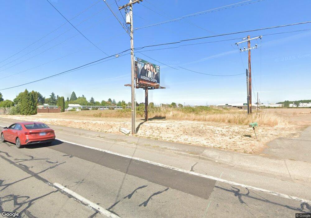
3615 Pacific Blvd SW Albany, OR 97321
West Albany NeighborhoodEstimated Value: $903,692
--
Bed
--
Bath
--
Sq Ft
9.73
Acres
About This Home
This home is located at 3615 Pacific Blvd SW, Albany, OR 97321 and is currently estimated at $903,692. 3615 Pacific Blvd SW is a home located in Linn County with nearby schools including Liberty Elementary School, Memorial Middle School, and West Albany High School.
Ownership History
Date
Name
Owned For
Owner Type
Purchase Details
Closed on
Jan 8, 2021
Sold by
Shedd Investments Llc
Bought by
Shedd Land Company Llc
Current Estimated Value
Purchase Details
Closed on
Jan 4, 2021
Sold by
Shedd Land Company Llc
Bought by
Western Pakaging Inc and Shedd Land Company Llc
Purchase Details
Closed on
May 22, 2018
Sold by
Shedd Land Co Llc
Bought by
Shedd Land Co Llc
Purchase Details
Closed on
Sep 21, 2011
Sold by
Davidson Joshua H and Martin Elwood J
Bought by
Shedd Land Co Llc
Create a Home Valuation Report for This Property
The Home Valuation Report is an in-depth analysis detailing your home's value as well as a comparison with similar homes in the area
Home Values in the Area
Average Home Value in this Area
Purchase History
| Date | Buyer | Sale Price | Title Company |
|---|---|---|---|
| Shedd Land Company Llc | -- | First American Title | |
| Western Pakaging Inc | -- | First American Title | |
| Shedd Land Co Llc | -- | None Available | |
| Shedd Land Co Llc | -- | None Available | |
| Shedd Land Compny Llc | -- | None Available | |
| Shedd Land Co Llc | -- | None Available | |
| Davidson Joshua H | -- | None Available |
Source: Public Records
Tax History Compared to Growth
Tax History
| Year | Tax Paid | Tax Assessment Tax Assessment Total Assessment is a certain percentage of the fair market value that is determined by local assessors to be the total taxable value of land and additions on the property. | Land | Improvement |
|---|---|---|---|---|
| 2025 | $46,356 | $2,329,250 | -- | -- |
| 2024 | $45,009 | $2,261,410 | -- | -- |
| 2023 | $43,730 | $2,195,550 | $0 | $0 |
| 2022 | $43,039 | $2,131,610 | $0 | $0 |
| 2021 | $38,729 | $2,069,527 | $0 | $0 |
| 2020 | $34,934 | $1,969,440 | $0 | $0 |
| 2019 | $33,750 | $1,912,085 | $0 | $0 |
| 2018 | $30,461 | $1,729,220 | $0 | $0 |
| 2017 | $29,020 | $1,646,870 | $0 | $0 |
| 2016 | $26,714 | $1,583,530 | $0 | $0 |
| 2015 | $26,003 | $1,522,630 | $0 | $0 |
| 2014 | $26,423 | $1,537,860 | $0 | $0 |
Source: Public Records
Map
Nearby Homes
- 3810 Pacific Blvd SW
- 1023 37th Ave SW
- 1004 Lakewood Dr SW
- 1221 36th Ave SW
- 3282 Pacific Place SW
- 1095 33rd Ave SW
- 4714 Willetta St SW
- PP2020-49 Lot#2 SW Osprey Ct
- 530 34th (-536) Ave SE
- 1691 Bobcat Ave SW
- 2
- 1851 Cougar Ave SW
- 1987 Bobcat Ave SW
- 1776 Antelope Cir SW
- 1562 Beaver Ct SW
- 1664 Elk Cir SW
- 2170 Bobcat Ave SW
- 2000 Cougar Ave SW
- 211 30th Place SE
- 3035 Marion St SE
- 1002 37th Ave SW
- 1006 37th Ave SW
- 1010 37th Ave SW
- 3622 Pacific Blvd SW
- 3614 Pacific Blvd SW
- 1014 37th Ave SW
- 1007 37th Ave SW
- 1000 36th Ave SW
- 3606 Pacific Blvd SW
- 1004 36th Ave SW
- (N. of Morse) Pacific Blvd SW
- North of Morse Pacific Blvd SW
- TL11S03W05DD002 Pacific Blvd SW
- 830 36th Ave SW
- 1008 36th Ave SW
- 1030 37th Ave SW
- 820 36th Ave SW
- 1016 36th Ave SW
- 1029 37th Ave SW
- 1005 36th Ave SW