3615 Sawgrass Cir Unit 46 Lansing, MI 48911
Moores River Drive NeighborhoodEstimated Value: $293,000 - $351,180
--
Bed
3
Baths
1,563
Sq Ft
$204/Sq Ft
Est. Value
About This Home
This home is located at 3615 Sawgrass Cir Unit 46, Lansing, MI 48911 and is currently estimated at $319,045, approximately $204 per square foot. 3615 Sawgrass Cir Unit 46 is a home located in Ingham County with nearby schools including Averill Elementary School, Attwood School, and J.W. Sexton High School.
Ownership History
Date
Name
Owned For
Owner Type
Purchase Details
Closed on
Aug 2, 2002
Sold by
Msm Development Inc
Bought by
Lewis Rodney A and Lewis Janet S
Current Estimated Value
Home Financials for this Owner
Home Financials are based on the most recent Mortgage that was taken out on this home.
Original Mortgage
$70,000
Interest Rate
6.32%
Create a Home Valuation Report for This Property
The Home Valuation Report is an in-depth analysis detailing your home's value as well as a comparison with similar homes in the area
Home Values in the Area
Average Home Value in this Area
Purchase History
| Date | Buyer | Sale Price | Title Company |
|---|---|---|---|
| Lewis Rodney A | $281,000 | First American Title |
Source: Public Records
Mortgage History
| Date | Status | Borrower | Loan Amount |
|---|---|---|---|
| Previous Owner | Lewis Rodney A | $70,000 | |
| Closed | Lewis Rodney A | $125,000 |
Source: Public Records
Tax History Compared to Growth
Tax History
| Year | Tax Paid | Tax Assessment Tax Assessment Total Assessment is a certain percentage of the fair market value that is determined by local assessors to be the total taxable value of land and additions on the property. | Land | Improvement |
|---|---|---|---|---|
| 2025 | $6,867 | $181,600 | $13,500 | $168,100 |
| 2024 | $56 | $171,100 | $13,500 | $157,600 |
| 2023 | $6,433 | $163,000 | $13,500 | $149,500 |
| 2022 | $5,787 | $148,500 | $12,500 | $136,000 |
| 2021 | $5,667 | $137,800 | $17,500 | $120,300 |
| 2020 | $5,633 | $129,200 | $17,500 | $111,700 |
| 2019 | $5,407 | $118,100 | $17,500 | $100,600 |
| 2018 | $5,058 | $105,800 | $17,500 | $88,300 |
| 2017 | $4,845 | $105,800 | $17,500 | $88,300 |
| 2016 | $4,633 | $97,000 | $17,500 | $79,500 |
| 2015 | $4,633 | $87,500 | $35,000 | $52,500 |
| 2014 | $4,633 | $84,300 | $15,000 | $69,300 |
Source: Public Records
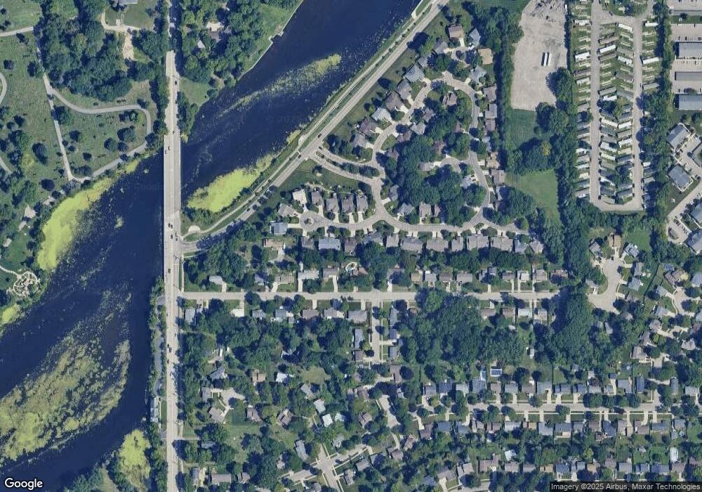
Map
Nearby Homes
- 3614 Cooley Dr
- 3421 Troon Cir Unit 29
- 3811 Cooley Dr
- 3425 Cooley Dr
- 3601 Muirfield Dr
- 3508 Muirfield Dr
- 3510 Christine Dr
- 4.5 Locust Ln
- 2 Locust Ln
- 3600 Sandhurst Dr
- 3333 Moores River Dr Unit 812
- 2838 Sunderland Rd
- 3310 W Mount Hope Ave
- 2800 S Waverly Hwy
- 3214 Gingersnap Ln
- 2710 Bedford Rd
- 2201 Pamela Place
- 2200 Rossiter Place
- 2905 S Catherine St
- 3200 Lawdor Rd
- 3609 Sawgrass Cir Unit 45
- 3603 Sawgrass Cir Unit 44
- 3622 Cooley Dr
- 3616 Sawgrass Cir Unit 55
- 3604 Sawgrass Cir Unit 56
- 3633 Sawgrass Cir Unit 49
- 3551 Oakmont Dr Unit 43
- 3628 Sawgrass Cir Unit 54
- 3632 Cooley Dr
- 3549 Oakmont Dr Unit 42
- 3526 Cooley Dr
- 3640 Sawgrass Cir Unit 53
- 3543 Oakmont Dr Unit 41
- 3548 Oakmont Dr Unit 58
- 3548 Oakmont Dr Unit 3548 Oakmont Dr.
- 3548 Oakmont Dr
- 3652 Sawgrass Cir Unit 52
- 3611 Cooley Dr
- 3714 Cooley Dr