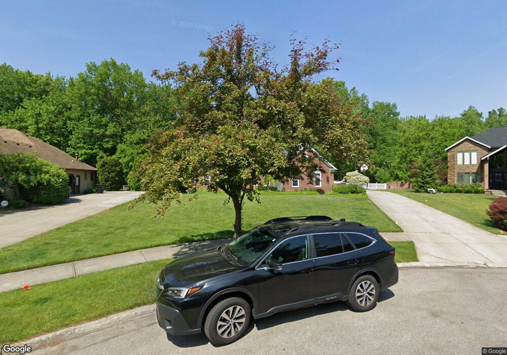
3616 Parsons Pond Cir Westlake, OH 44145
Estimated Value: $647,548 - $774,000
4
Beds
4
Baths
3,170
Sq Ft
$219/Sq Ft
Est. Value
About This Home
This home is located at 3616 Parsons Pond Cir, Westlake, OH 44145 and is currently estimated at $694,137, approximately $218 per square foot. 3616 Parsons Pond Cir is a home located in Cuyahoga County with nearby schools including Dover Intermediate School, Lee Burneson Middle School, and Westlake High School.
Ownership History
Date
Name
Owned For
Owner Type
Purchase Details
Closed on
Jan 15, 1999
Sold by
Krupka Jonalyn M
Bought by
Krupka James J
Current Estimated Value
Purchase Details
Closed on
Sep 17, 1993
Sold by
Krupka James J
Bought by
Krupka James J
Purchase Details
Closed on
Mar 28, 1990
Bought by
Krupka James J
Purchase Details
Closed on
Jan 1, 1990
Bought by
Fairland Builders Inc
Create a Home Valuation Report for This Property
The Home Valuation Report is an in-depth analysis detailing your home's value as well as a comparison with similar homes in the area
Home Values in the Area
Average Home Value in this Area
Purchase History
| Date | Buyer | Sale Price | Title Company |
|---|---|---|---|
| Krupka James J | -- | -- | |
| Krupka James J | -- | -- | |
| Krupka James J | $265,500 | -- | |
| Fairland Builders Inc | -- | -- |
Source: Public Records
Tax History Compared to Growth
Tax History
| Year | Tax Paid | Tax Assessment Tax Assessment Total Assessment is a certain percentage of the fair market value that is determined by local assessors to be the total taxable value of land and additions on the property. | Land | Improvement |
|---|---|---|---|---|
| 2024 | $8,724 | $193,970 | $37,660 | $156,310 |
| 2023 | $8,587 | $151,480 | $38,570 | $112,910 |
| 2022 | $7,483 | $145,990 | $38,570 | $107,420 |
| 2021 | $7,492 | $145,990 | $38,570 | $107,420 |
| 2020 | $7,915 | $141,750 | $37,450 | $104,300 |
| 2019 | $7,675 | $428,300 | $107,000 | $321,300 |
| 2018 | $8,001 | $149,910 | $37,450 | $112,460 |
| 2017 | $7,904 | $137,000 | $28,810 | $108,190 |
| 2016 | $7,861 | $137,000 | $28,810 | $108,190 |
| 2015 | $7,092 | $137,000 | $28,810 | $108,190 |
| 2014 | $7,092 | $122,330 | $25,730 | $96,600 |
Source: Public Records
Map
Nearby Homes
- 3133 Waterfall Way
- Scottsdale Plan at The Reserve at Mass Estates - Estate Series
- Rockport Plan at The Reserve at Mass Estates - Estate Series
- Rivendale Plan at The Reserve at Mass Estates - Estate Series
- Mayfield Plan at The Reserve at Mass Estates - Estate Series
- Kensington Plan at The Reserve at Mass Estates - Estate Series
- Aspen Plan at The Reserve at Mass Estates - Estate Series
- 3402 Mass Dr
- S/L 5 Bradley Rd
- S/L 4 Bradley Rd
- The Mahogony III Plan at Fieldstone Landings
- The Bexley III Plan at Fieldstone Landings
- The Prescott Plan at Fieldstone Landings
- The Baldwin Plan at Fieldstone Landings
- The Winchester Plan at Fieldstone Landings
- The Ashley Plan at Fieldstone Landings
- The Berkley Plan at Fieldstone Landings
- The Forestwood Plan at Fieldstone Landings
- The Bexley 55 Plan at Fieldstone Landings
- The Hampton II Plan at Fieldstone Landings
- 3624 Parsons Pond Cir
- 3610 Parsons Pond Cir
- 3632 Parsons Pond Cir
- 3605 Parsons Pond Cir
- 3619 Parsons Pond Cir
- 3640 Parsons Pond Cir
- 3611 Parsons Pond Cir
- 3627 Parsons Pond Cir
- 3648 Parsons Pond Cir
- 3643 Parsons Pond Cir
- 3394 Arbor Way
- 3405 Arbor Way
- 3656 Parsons Pond Cir
- 3651 Parsons Pond Cir
- 3397 Arbor Way
- 31269 E Churchill Ln
- 31216 E Churchill Ln
- 3664 Parsons Pond Cir
- 3600 Oxford Cir
- 3386 Arbor Way