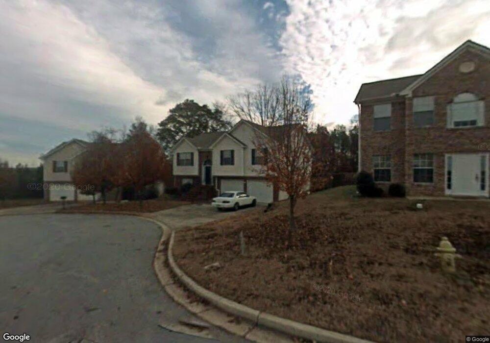
3616 Summit Trace Unit 2 Decatur, GA 30034
Southwest DeKalb NeighborhoodEstimated Value: $267,000 - $350,000
5
Beds
3
Baths
2,320
Sq Ft
$129/Sq Ft
Est. Value
About This Home
This home is located at 3616 Summit Trace Unit 2, Decatur, GA 30034 and is currently estimated at $298,906, approximately $128 per square foot. 3616 Summit Trace Unit 2 is a home located in DeKalb County with nearby schools including Oakview Elementary School, Cedar Grove Middle School, and Cedar Grove High School.
Ownership History
Date
Name
Owned For
Owner Type
Purchase Details
Closed on
Mar 7, 2012
Sold by
Mcdonald Michael
Bought by
Respert Rosie
Current Estimated Value
Purchase Details
Closed on
Jan 20, 2012
Sold by
Mcdonald Michael
Bought by
Mcdonald Michael
Purchase Details
Closed on
May 2, 2006
Sold by
Teal Karl W
Bought by
Willis Herima L
Home Financials for this Owner
Home Financials are based on the most recent Mortgage that was taken out on this home.
Original Mortgage
$130,400
Interest Rate
7.75%
Mortgage Type
New Conventional
Purchase Details
Closed on
May 1, 2000
Sold by
Bonner Homes Inc
Bought by
Teal Karl W
Home Financials for this Owner
Home Financials are based on the most recent Mortgage that was taken out on this home.
Original Mortgage
$133,896
Interest Rate
8.23%
Mortgage Type
FHA
Create a Home Valuation Report for This Property
The Home Valuation Report is an in-depth analysis detailing your home's value as well as a comparison with similar homes in the area
Home Values in the Area
Average Home Value in this Area
Purchase History
| Date | Buyer | Sale Price | Title Company |
|---|---|---|---|
| Respert Rosie | $39,000 | -- | |
| Mcdonald Michael | -- | -- | |
| Willis Herima L | $163,000 | -- | |
| Teal Karl W | $135,000 | -- |
Source: Public Records
Mortgage History
| Date | Status | Borrower | Loan Amount |
|---|---|---|---|
| Previous Owner | Willis Herima L | $130,400 | |
| Previous Owner | Teal Karl W | $133,896 |
Source: Public Records
Tax History Compared to Growth
Tax History
| Year | Tax Paid | Tax Assessment Tax Assessment Total Assessment is a certain percentage of the fair market value that is determined by local assessors to be the total taxable value of land and additions on the property. | Land | Improvement |
|---|---|---|---|---|
| 2025 | $5,524 | $115,600 | $13,320 | $102,280 |
| 2024 | $5,396 | $112,680 | $13,320 | $99,360 |
| 2023 | $5,396 | $108,760 | $13,320 | $95,440 |
| 2022 | $4,385 | $91,640 | $13,320 | $78,320 |
| 2021 | $3,527 | $72,080 | $9,280 | $62,800 |
| 2020 | $3,432 | $69,920 | $9,280 | $60,640 |
| 2019 | $2,551 | $49,840 | $9,280 | $40,560 |
| 2018 | $2,505 | $47,840 | $9,280 | $38,560 |
| 2017 | $2,444 | $47,200 | $9,280 | $37,920 |
| 2016 | $2,677 | $52,360 | $9,280 | $43,080 |
| 2014 | $1,525 | $25,640 | $9,280 | $16,360 |
Source: Public Records
Map
Nearby Homes
- 3666 Panthersville Rd
- 3632 Panthersville Rd
- 2679 River Summit Ln
- 3648 Panthersville Rd
- 3565 River Birch Trail Unit 2
- 3550 Willow Tree Trace
- 0 Panthersville Rd Unit 10574564
- 1754 Soapstone Ct
- 21.98 + -Acres Panthersville Rd Rd
- 2822 Saratoga Lake View
- 3570 Saratoga Cir
- 2824 Saratoga Lake View
- 2832 Saratoga Lake View
- 3795 Soapstone Rd
- 2600 Waterfall Ct
- 3575 Oakvale Rd Unit 911
- 3575 Oakvale Rd Unit 105
- 3575 Oakvale Rd Unit 703
- 3735 River Lake Shore
- 3784 River Lake Shore Unit 1
- 3616 Summit Trace
- 3612 Summit Trace Unit 2
- 3622 Summit Trace
- 3608 Summit Trace
- 3628 Summit Trace
- 3613 Summit Trace Unit 2
- 3623 Summit Trace Unit 2
- 3634 Summit Trace Unit 2
- 3629 Summit Trace
- 3618 Summit Pines Unit 2
- 3640 Summit Trace
- 2726 River Summit Ln Unit 2
- 3624 Summit Pines
- 3632 Summit Pines
- 3666 Panthersville Rd Unit 7
- 3614 Summit Pines
- 2718 River Summit Ln Unit 2
- 3613 Summit Pines
- 3654 Summit Trace
- 2723 River Summit Ln