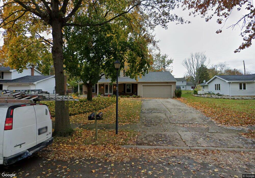
3617 Maxim Dr Fort Wayne, IN 46815
New Glenwood NeighborhoodEstimated Value: $290,000 - $325,000
4
Beds
3
Baths
3,434
Sq Ft
$88/Sq Ft
Est. Value
About This Home
This home is located at 3617 Maxim Dr, Fort Wayne, IN 46815 and is currently estimated at $303,029, approximately $88 per square foot. 3617 Maxim Dr is a home located in Allen County with nearby schools including Glenwood Park Elementary School, Lane Middle School, and R Nelson Snider High School.
Ownership History
Date
Name
Owned For
Owner Type
Purchase Details
Closed on
Apr 28, 2009
Sold by
Ramsey Richard N and Ramsey Yvonne A
Bought by
Bean Carolyn K
Current Estimated Value
Home Financials for this Owner
Home Financials are based on the most recent Mortgage that was taken out on this home.
Original Mortgage
$144,875
Outstanding Balance
$92,517
Interest Rate
5.05%
Mortgage Type
Purchase Money Mortgage
Estimated Equity
$210,512
Create a Home Valuation Report for This Property
The Home Valuation Report is an in-depth analysis detailing your home's value as well as a comparison with similar homes in the area
Home Values in the Area
Average Home Value in this Area
Purchase History
| Date | Buyer | Sale Price | Title Company |
|---|---|---|---|
| Bean Carolyn K | -- | Commonwealth-Dreibelbiss Tit |
Source: Public Records
Mortgage History
| Date | Status | Borrower | Loan Amount |
|---|---|---|---|
| Open | Bean Carolyn K | $144,875 |
Source: Public Records
Tax History Compared to Growth
Tax History
| Year | Tax Paid | Tax Assessment Tax Assessment Total Assessment is a certain percentage of the fair market value that is determined by local assessors to be the total taxable value of land and additions on the property. | Land | Improvement |
|---|---|---|---|---|
| 2024 | $2,961 | $262,100 | $28,900 | $233,200 |
| 2022 | $2,670 | $236,900 | $28,900 | $208,000 |
| 2021 | $2,319 | $207,300 | $26,400 | $180,900 |
| 2020 | $2,150 | $197,000 | $26,400 | $170,600 |
| 2019 | $1,959 | $180,800 | $26,400 | $154,400 |
| 2018 | $1,765 | $162,400 | $26,400 | $136,000 |
| 2017 | $1,732 | $158,200 | $26,400 | $131,800 |
| 2016 | $1,679 | $155,600 | $26,400 | $129,200 |
| 2014 | $1,462 | $141,900 | $26,400 | $115,500 |
| 2013 | $1,336 | $130,000 | $26,400 | $103,600 |
Source: Public Records
Map
Nearby Homes
- 3409 Worchester Place
- 3707 Well Meadow Place
- 4031 Hedwig Dr
- 3133 Delray Dr
- 3822 Reed Rd
- 4101 Darby Dr
- 5433 Hewitt Ln
- 7286 Starks (Lot 11) Blvd
- 7342 Starks (Lot 8) Blvd
- 4004 Darwood Dr
- 5914 Vance Ave
- 2806 Knightsbridge Place
- 2924 Seafarer Cove
- 6024 Andro Run
- 2825 Knightsbridge Place
- 5717 Bayside Dr
- 4209 Reed Rd
- 5030 Stellhorn Rd
- 5723 Port Royal
- 2818 1/2 Reed Rd
- 3609 Maxim Dr
- 5324 Glenrose Dr
- 3616 Rockwood Dr
- 3608 Rockwood Dr
- 3624 Rockwood Dr
- 3535 Maxim Dr
- 3616 Maxim Dr
- 3624 Maxim Dr
- 3608 Maxim Dr
- 3534 Rockwood Dr
- 3525 Maxim Dr
- 3536 Maxim Dr
- 5327 Glenrose Dr
- 5323 Glenrose Dr
- 3524 Rockwood Dr
- 3712 Rockwood Dr
- 3526 Maxim Dr
- 5407 Glenrose Dr
- 3609 Rockwood Dr
- 3617 Rockwood Dr