3617 Shasta Ct Pearland, TX 77584
Estimated Value: $369,156 - $412,000
--
Bed
3
Baths
2,733
Sq Ft
$143/Sq Ft
Est. Value
About This Home
This home is located at 3617 Shasta Ct, Pearland, TX 77584 and is currently estimated at $391,289, approximately $143 per square foot. 3617 Shasta Ct is a home located in Brazoria County with nearby schools including Magnolia Elementary School, Pearland Junior High School South, and Sam Jamison Middle School.
Ownership History
Date
Name
Owned For
Owner Type
Purchase Details
Closed on
Nov 24, 2003
Sold by
Lennar Homes Of Texas
Bought by
Bernard Patrik and Bernard Jeanine
Current Estimated Value
Home Financials for this Owner
Home Financials are based on the most recent Mortgage that was taken out on this home.
Original Mortgage
$185,553
Outstanding Balance
$86,083
Interest Rate
6.01%
Mortgage Type
VA
Estimated Equity
$305,206
Create a Home Valuation Report for This Property
The Home Valuation Report is an in-depth analysis detailing your home's value as well as a comparison with similar homes in the area
Home Values in the Area
Average Home Value in this Area
Purchase History
| Date | Buyer | Sale Price | Title Company |
|---|---|---|---|
| Bernard Patrik | -- | North American Title Co |
Source: Public Records
Mortgage History
| Date | Status | Borrower | Loan Amount |
|---|---|---|---|
| Open | Bernard Patrik | $185,553 |
Source: Public Records
Tax History Compared to Growth
Tax History
| Year | Tax Paid | Tax Assessment Tax Assessment Total Assessment is a certain percentage of the fair market value that is determined by local assessors to be the total taxable value of land and additions on the property. | Land | Improvement |
|---|---|---|---|---|
| 2025 | $3,695 | $351,384 | $50,230 | $309,010 |
| 2023 | $3,695 | $290,400 | $50,230 | $299,770 |
| 2022 | $7,064 | $264,000 | $42,300 | $226,720 |
| 2021 | $6,928 | $240,000 | $38,450 | $201,550 |
| 2020 | $7,556 | $247,900 | $38,450 | $209,450 |
| 2019 | $7,172 | $234,480 | $38,450 | $196,030 |
| 2018 | $7,710 | $251,400 | $38,450 | $212,950 |
| 2017 | $7,639 | $266,660 | $38,450 | $228,210 |
| 2016 | $6,944 | $224,000 | $38,450 | $185,550 |
| 2014 | $6,183 | $203,810 | $38,450 | $165,360 |
Source: Public Records
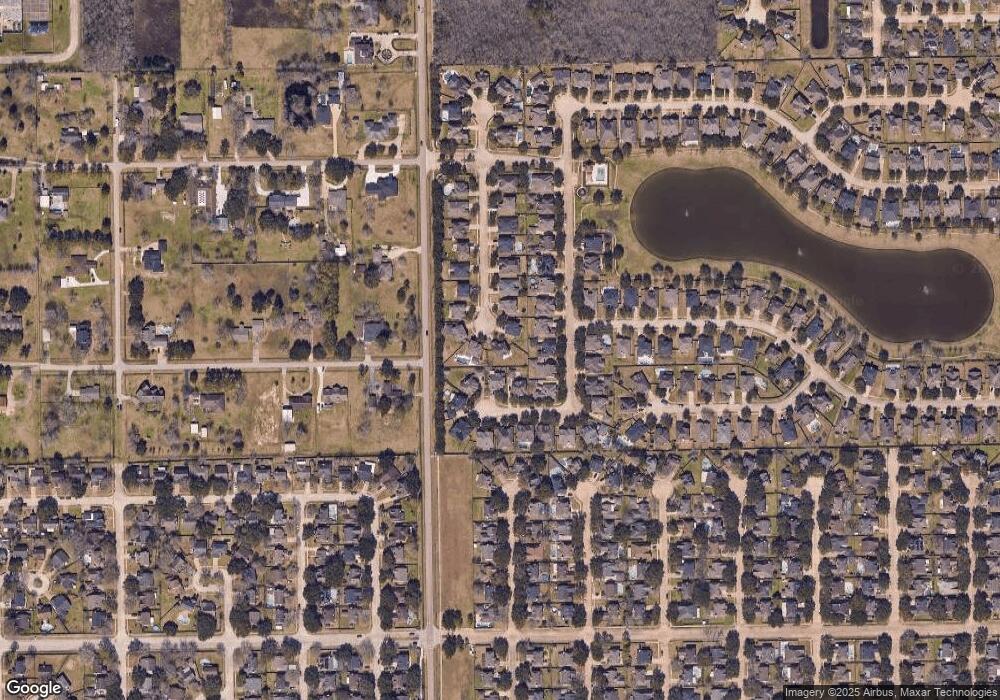
Map
Nearby Homes
- 3910 Greenwood Dr
- 4806 Chaperel Dr
- 3911 Spring Garden Dr
- 4013 Ivywood Dr
- 5205 Spring Branch Dr
- 3307 Norma Ln
- 4015 Cedarwood Dr
- 3602 Lindhaven Dr
- 5101 Big Spring Dr
- 4967 Millican Dr
- 3804 Parry Fields Ct
- 3703 Canterbury Park Dr
- 3806 Canterbury Park Dr
- 3705 Canterbury Park Dr
- 16622 Mclean Rd
- 3730 Aubrell Rd
- 5301 Ryan Acres Dr
- 3834 Aubrell Rd
- 16719 Mclean Rd
- 3115 Centennial Village Dr
- 3615 Shasta Ct
- 4911 Mahejan Ct
- 4909 Mahejan Ct
- 3618 Shasta Ct
- 3618 Mahejan Dr
- 3620 Mahejan Dr
- 3613 Shasta Ct
- 3616 Mahejan Dr
- 3616 Mahejan Dr Unit 1
- 4913 Mahejan Ct
- 3616 Shasta Ct
- 3622 Mahejan Dr
- 3614 Mahejan Dr
- 3614 Shasta Ct
- 3611 Shasta Ct
- 4915 Mahejan Ct
- 3612 Shasta Ct
- 3612 Mahejan Dr
- 3608 Mclean Rd
- 4910 Mahejan Ct