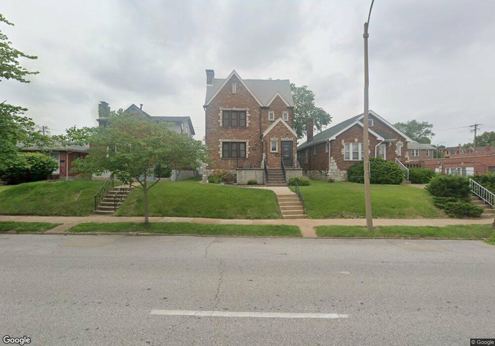
3617 Watson Rd Saint Louis, MO 63109
Lindenwood Park NeighborhoodEstimated Value: $208,159 - $376,000
Studio
2
Baths
2,288
Sq Ft
$132/Sq Ft
Est. Value
About This Home
This home is located at 3617 Watson Rd, Saint Louis, MO 63109 and is currently estimated at $301,290, approximately $131 per square foot. 3617 Watson Rd is a home located in St. Louis City with nearby schools including Mason Elementary School, Long International Middle School, and Roosevelt High School.
Ownership History
Date
Name
Owned For
Owner Type
Purchase Details
Closed on
Aug 28, 1997
Sold by
Hirschbuehler Mary M L
Bought by
Pinkas Elizabeth R and Jewett Sherry L
Current Estimated Value
Home Financials for this Owner
Home Financials are based on the most recent Mortgage that was taken out on this home.
Original Mortgage
$108,150
Outstanding Balance
$16,701
Interest Rate
7.43%
Mortgage Type
FHA
Estimated Equity
$284,589
Create a Home Valuation Report for This Property
The Home Valuation Report is an in-depth analysis detailing your home's value as well as a comparison with similar homes in the area
Home Values in the Area
Average Home Value in this Area
Purchase History
| Date | Buyer | Sale Price | Title Company |
|---|---|---|---|
| Pinkas Elizabeth R | -- | -- |
Source: Public Records
Mortgage History
| Date | Status | Borrower | Loan Amount |
|---|---|---|---|
| Open | Pinkas Elizabeth R | $108,150 |
Source: Public Records
Tax History
| Year | Tax Paid | Tax Assessment Tax Assessment Total Assessment is a certain percentage of the fair market value that is determined by local assessors to be the total taxable value of land and additions on the property. | Land | Improvement |
|---|---|---|---|---|
| 2025 | $1,954 | $26,940 | $3,380 | $23,560 |
| 2024 | $1,718 | $23,010 | $3,380 | $19,630 |
| 2023 | $1,718 | $23,010 | $3,380 | $19,630 |
| 2022 | $1,718 | $20,450 | $3,380 | $17,070 |
| 2021 | $1,716 | $20,450 | $3,380 | $17,070 |
| 2020 | $1,600 | $19,190 | $3,380 | $15,810 |
| 2019 | $1,589 | $19,130 | $3,380 | $15,750 |
| 2018 | $1,565 | $18,260 | $3,040 | $15,220 |
| 2017 | $1,539 | $18,260 | $3,040 | $15,220 |
| 2016 | $1,589 | $18,620 | $3,040 | $15,580 |
| 2015 | $1,441 | $18,620 | $3,040 | $15,580 |
| 2014 | $1,426 | $18,620 | $3,040 | $15,580 |
| 2013 | -- | $18,430 | $3,040 | $15,390 |
Source: Public Records
Map
Nearby Homes
- 6439 Mardel Ave
- 6455 Oleatha Ave
- 6542 Lindenwood Place
- 6544 Marquette Ave
- 3905 Tamm Ave
- 6227 Oleatha Ave
- 6427 Winona Ave
- 6214 Oleatha Ave
- 6339 Marquette Ave
- 6652 Hancock Ave
- 3903 Prather Ave
- 6301 Marquette Ave
- 6042 Oleatha Ave
- 6409 Sutherland Ave
- 6430 Sutherland Ave
- 6020 Potomac St
- 6822 Hancock Ave
- 6714 Bancroft Ave
- 3710 Berger Ave
- 6300 Fyler Ave
- 3613 Watson Rd
- 3621 Watson Rd
- 3625 Watson Rd
- 6519 Tholozan Ave
- 6516 Pernod Ave
- 6520 Pernod Ave
- 6521 Tholozan Ave
- 3703 Watson Rd
- 6524 Pernod Ave
- 3608 Watson Rd
- 3608 Watson Rd Unit 8
- 3608 Watson Rd Unit 1
- 3608 Watson Rd Unit 5
- 3608 Watson Rd Unit 4
- 3608 Watson Rd Unit 2
- 6525 Tholozan Ave
- 3616 Watson Rd
- 3612 Watson Rd
- 3620 Watson Rd
- 6528 Pernod Ave
Your Personal Tour Guide
Ask me questions while you tour the home.