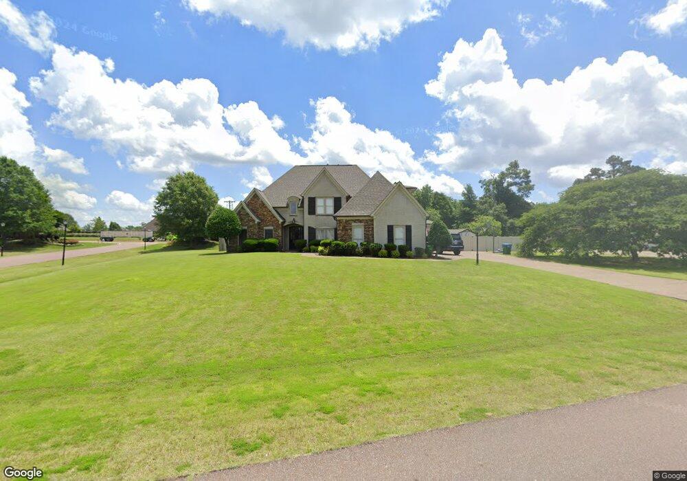
3618 Rutledge Rd Olive Branch, MS 38654
Lewisburg NeighborhoodEstimated Value: $463,000 - $558,000
About This Home
This home is located at 3618 Rutledge Rd, Olive Branch, MS 38654 and is currently estimated at $515,697, approximately $146 per square foot. 3618 Rutledge Rd is a home located in DeSoto County with nearby schools including Lewisburg Primary School, Lewisburg Elementary School, and Lewisburg Middle School.
Ownership History
We collect this data history from publicly available records. To have your information removed, we recommend requesting removal directly through your county’s website.
Purchase Details
Home Financials for this Owner
Home Financials are based on the most recent Mortgage that was taken out on this home.Home Values in the Area
Average Home Value in this Area
Purchase History
We collect this data history from publicly available records. To have your information removed, we recommend requesting removal directly through your county’s website.
| Date | Buyer | Sale Price | Title Company |
|---|---|---|---|
| -- | None Available |
Mortgage History
We collect this data history from publicly available records. To have your information removed, we recommend requesting removal directly through your county’s website.
| Date | Status | Borrower | Loan Amount |
|---|---|---|---|
| Open | $339,000 |
Tax History
We collect this data history from publicly available records. To have your information removed, we recommend requesting removal directly through your county’s website.
| Year | Tax Paid | Tax Assessment Tax Assessment Total Assessment is a certain percentage of the fair market value that is determined by local assessors to be the total taxable value of land and additions on the property. | Land | Improvement |
|---|---|---|---|---|
| 2025 | $4,554 | $39,331 | $6,000 | $33,331 |
| 2024 | $3,901 | $28,580 | $6,000 | $22,580 |
| 2023 | $3,901 | $28,580 | $0 | $0 |
| 2022 | $3,929 | $28,580 | $6,000 | $22,580 |
| 2021 | $3,929 | $28,580 | $6,000 | $22,580 |
| 2020 | $2,702 | $26,759 | $6,000 | $20,759 |
| 2019 | $2,402 | $26,759 | $6,000 | $20,759 |
| 2017 | $2,337 | $45,856 | $25,928 | $19,928 |
| 2016 | $2,337 | $25,928 | $6,000 | $19,928 |
| 2015 | $2,637 | $45,856 | $25,928 | $19,928 |
| 2014 | $2,337 | $25,928 | $0 | $0 |
| 2013 | $2,283 | $25,928 | $0 | $0 |
Map
- 9094 Apple Orchard Cove
- 8807 Dehart Rd
- 9090 Apple Orchard Cove
- 9107 Apple Orchard Cove
- 9142 Cedar Barn Cove
- 9078 Mitchell's Corner Rd N
- 9135 Cedar Barn Cove
- 3914 Saddle Bend
- 8465 Belmor Lakes Dr
- 6606 Mississippi 305
- 6279 Mississippi 305
- 201 Mississippi 305
- 8836 Mary McCoy Dr
- 8822 Mary McCoy Dr
- 8472 Belmor Lakes Dr
- 4107 W Olivia Cir
- 8985 Jackson Ln
- 8971 Jackson Ln
- 8997 Jackson Ln
- 4125 Olivia Cir W
- 3590 Rutledge Rd
- 3590 Rutledge Rd Unit 1
- 44 Rutledge Rd
- 3562 Rutledge Rd
- 3687 Rutledge Rd
- 3609 Rutledge Rd
- 8925 Dehart Dr
- 8925 Dehart Rd
- 8900 Dehart Rd
- 3643 Rutledge Rd
- 3656 Rutledge Rd
- 8900 Dehart Dr
- 3604 Highway 305 N
- 8918 Dehart Rd
- 20 Cameron St
- 3693 Mitchell''S Corner Rd W
- 8924 Cameron St
- 3515 Highway 305 N
- 8872 Dehart Rd
- 8872 Dehart Dr
Ask me questions while you tour the home.