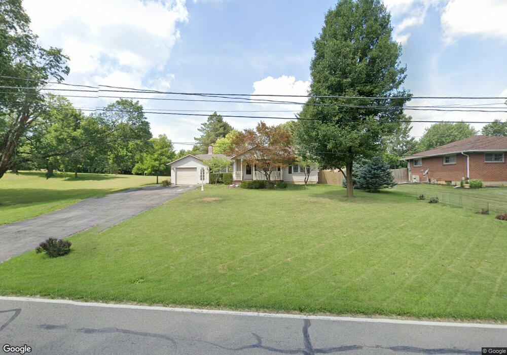
3619 Bosart Rd Springfield, OH 45503
Estimated Value: $195,000 - $216,000
2
Beds
2
Baths
998
Sq Ft
$208/Sq Ft
Est. Value
About This Home
This home is located at 3619 Bosart Rd, Springfield, OH 45503 and is currently estimated at $207,985, approximately $208 per square foot. 3619 Bosart Rd is a home located in Clark County with nearby schools including Northridge Elementary School, Kenton Ridge Middle & High School, and Emmanuel Christian Academy.
Ownership History
Date
Name
Owned For
Owner Type
Purchase Details
Closed on
Oct 1, 2004
Sold by
Benning R Stephen and Benning Helen M
Bought by
Johnson David E and Parker Johnson Mary Ann
Current Estimated Value
Home Financials for this Owner
Home Financials are based on the most recent Mortgage that was taken out on this home.
Original Mortgage
$106,300
Interest Rate
5.71%
Mortgage Type
Purchase Money Mortgage
Create a Home Valuation Report for This Property
The Home Valuation Report is an in-depth analysis detailing your home's value as well as a comparison with similar homes in the area
Home Values in the Area
Average Home Value in this Area
Purchase History
| Date | Buyer | Sale Price | Title Company |
|---|---|---|---|
| Johnson David E | $132,900 | -- |
Source: Public Records
Mortgage History
| Date | Status | Borrower | Loan Amount |
|---|---|---|---|
| Closed | Johnson David E | $106,300 |
Source: Public Records
Tax History
| Year | Tax Paid | Tax Assessment Tax Assessment Total Assessment is a certain percentage of the fair market value that is determined by local assessors to be the total taxable value of land and additions on the property. | Land | Improvement |
|---|---|---|---|---|
| 2025 | $1,731 | $59,710 | $14,060 | $45,650 |
| 2024 | $1,700 | $49,320 | $10,910 | $38,410 |
| 2023 | $1,700 | $49,320 | $10,910 | $38,410 |
| 2022 | $1,724 | $49,320 | $10,910 | $38,410 |
| 2021 | $1,613 | $40,900 | $8,940 | $31,960 |
| 2020 | $1,614 | $40,900 | $8,940 | $31,960 |
| 2019 | $1,645 | $40,900 | $8,940 | $31,960 |
| 2018 | $1,441 | $35,770 | $8,280 | $27,490 |
| 2017 | $1,236 | $35,771 | $8,278 | $27,493 |
| 2016 | $1,227 | $35,771 | $8,278 | $27,493 |
| 2015 | $1,170 | $33,548 | $8,278 | $25,270 |
| 2014 | $1,170 | $33,548 | $8,278 | $25,270 |
| 2013 | $1,142 | $33,548 | $8,278 | $25,270 |
Source: Public Records
Map
Nearby Homes
- 4028 Ryland Dr Unit 4028
- 3969 Covington Dr Unit 3969
- 1831 Pinehurst Dr Unit 37
- 3126 Lakeview Ct Unit 3126
- 1711 Pinehurst Dr
- 4500 Bosart Rd
- 1507 Kingsgate Rd
- 1505 Kingsgate Rd
- 2193 Amarillo Ave
- 1503 Kingsgate Rd
- 2861 Ashlar Dr
- 1500 Kingsgate Rd
- 1502 Kingsgate Rd
- 1500 Kingsgate Rd Unit 19430
- 1502 Kingsgate Rd Unit 19432
- 1509 Kingsgate Rd
- 3631 Kingsgate Ln
- 2022 Westboro Ave
- 3300 Revels St
- 1948 Falmouth Ave
- 3627 Bosart Rd
- 3637 Bosart Rd
- 3601 Bosart Rd
- 3624 Bosart Rd
- 3610 Bosart Rd
- 3634 Bosart Rd
- 3701 Bosart Rd
- 3541 Bosart Rd
- 3542 Bosart Rd
- 3700 Bosart Rd
- 3725 Bosart Rd
- 3522 Bosart Rd
- 3740 Bosart Rd
- 3509 Bosart Rd
- 3510 Bosart Rd
- 3770 Bosart Rd
- 3545 Mechanicsburg Rd
- 3523 Mechanicsburg Rd
- 3452 Bosart Rd
- 3501 Mechanicsburg Rd
Your Personal Tour Guide
Ask me questions while you tour the home.