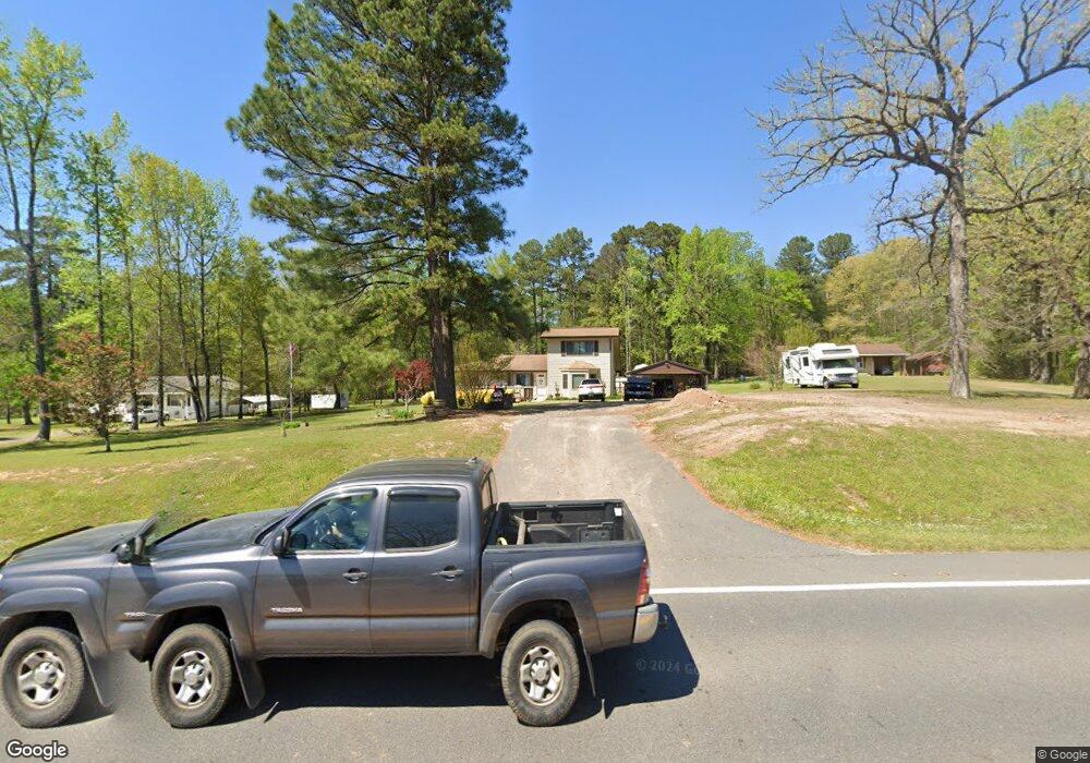
3619 Highway 51 S Arkadelphia, AR 71923
Estimated Value: $134,000 - $273,000
--
Bed
2
Baths
2,108
Sq Ft
$91/Sq Ft
Est. Value
About This Home
This home is located at 3619 Highway 51 S, Arkadelphia, AR 71923 and is currently estimated at $191,237, approximately $90 per square foot. 3619 Highway 51 S is a home located in Clark County with nearby schools including Louisa Perritt Primary School, Peake Elementary School, and Central Primary School.
Ownership History
Date
Name
Owned For
Owner Type
Purchase Details
Closed on
Jan 26, 2016
Bought by
Dukes Don L and Dukes Georgia
Current Estimated Value
Purchase Details
Closed on
Jan 22, 2014
Bought by
Dukes Don L and Dukes Georgia
Purchase Details
Closed on
Jun 7, 2013
Sold by
Jpmorgan Chase Bank Na
Bought by
The Secretary Of Housing And Urban Devel
Purchase Details
Closed on
May 1, 1992
Bought by
Franklin Danny
Purchase Details
Closed on
Jun 1, 1986
Bought by
Franklin
Create a Home Valuation Report for This Property
The Home Valuation Report is an in-depth analysis detailing your home's value as well as a comparison with similar homes in the area
Home Values in the Area
Average Home Value in this Area
Purchase History
| Date | Buyer | Sale Price | Title Company |
|---|---|---|---|
| Dukes Don L | -- | -- | |
| Dukes Don L | -- | -- | |
| The Secretary Of Housing And Urban Devel | -- | -- | |
| Franklin Danny | -- | -- | |
| Franklin | -- | -- |
Source: Public Records
Tax History Compared to Growth
Tax History
| Year | Tax Paid | Tax Assessment Tax Assessment Total Assessment is a certain percentage of the fair market value that is determined by local assessors to be the total taxable value of land and additions on the property. | Land | Improvement |
|---|---|---|---|---|
| 2024 | $1,158 | $22,370 | $1,420 | $20,950 |
| 2023 | $1,158 | $22,370 | $1,420 | $20,950 |
| 2022 | $1,158 | $22,370 | $1,420 | $20,950 |
| 2021 | $1,158 | $22,370 | $1,420 | $20,950 |
| 2020 | $1,158 | $22,370 | $1,420 | $20,950 |
| 2019 | $1,000 | $19,510 | $1,420 | $18,090 |
| 2018 | $586 | $19,510 | $1,420 | $18,090 |
| 2017 | $586 | $19,510 | $1,420 | $18,090 |
| 2016 | $586 | $19,570 | $1,480 | $18,090 |
| 2015 | $586 | $19,590 | $1,500 | $18,090 |
| 2014 | $790 | $17,360 | $1,500 | $15,860 |
Source: Public Records
Map
Nearby Homes
- 777 Mount Zion Rd
- 147 Central Rd
- 318 Central Rd
- Lot 59 Apple Blossom Dr
- TBD Apple Blossom Dr
- 106 Apple Blossom Dr
- 365 Helms Rd
- 2 Western Hills Dr
- 108 Magnolia Dr
- 0 Flanagan Rd
- 72 Ranch Rd
- 43 Tracelwood Dr
- 100 Canterbury Ln
- 357 Echols Rd
- 2717 Lynwood Dr
- 746 Unity Rd
- 2838 Sylvia St
- 2709 Lynwood Dr
- 102 Mockingbird Ln
- Lot 48 Willowbrook St
- 3619 Arkansas 51
- 3631 Highway 51 S
- 3611 Highway 51 S
- 3643 Highway 51 S
- 3671 Highway 51 S
- 805 Mount Zion Rd
- 3656 Highway 51 S
- 3616 Highway 51 S
- 0 Highway 51 S
- 3699 Highway 51 S
- 3616 S 51 Hwy
- 771 Mount Zion Rd
- 000 Hwy 51 Hwy
- 759 Mount Zion Rd
- 668 Mount Zion Rd
- 41 Dusty Morgan Rd
- 3520 Highway 51 S
- 3520 Highway 51 S
- 9 Dorothy Rd
- 739 Mount Zion Rd