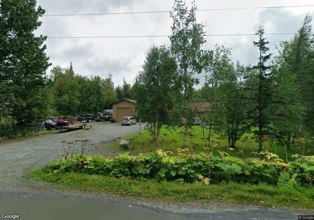
3619 N Calder Rd Wasilla, AK 99654
Estimated Value: $285,000 - $373,503
3
Beds
1
Bath
1,112
Sq Ft
$291/Sq Ft
Est. Value
About This Home
This home is located at 3619 N Calder Rd, Wasilla, AK 99654 and is currently estimated at $323,376, approximately $290 per square foot. 3619 N Calder Rd is a home located in Matanuska-Susitna Borough with nearby schools including Finger Lake Elementary School, Colony Middle School, and Colony High School.
Ownership History
Date
Name
Owned For
Owner Type
Purchase Details
Closed on
Nov 14, 2007
Sold by
Larue Chad and Larue Coleene
Bought by
Mallick Gregg A
Current Estimated Value
Home Financials for this Owner
Home Financials are based on the most recent Mortgage that was taken out on this home.
Original Mortgage
$191,987
Outstanding Balance
$121,284
Interest Rate
6.35%
Mortgage Type
FHA
Estimated Equity
$202,092
Purchase Details
Closed on
Oct 18, 2004
Sold by
Schwartz William R and Ridgeway Silvia G
Bought by
Larue Chad and Larue Coleene
Create a Home Valuation Report for This Property
The Home Valuation Report is an in-depth analysis detailing your home's value as well as a comparison with similar homes in the area
Home Values in the Area
Average Home Value in this Area
Purchase History
| Date | Buyer | Sale Price | Title Company |
|---|---|---|---|
| Mallick Gregg A | -- | Mckinley Title & Trust Inc | |
| Larue Chad | -- | Mat Su Title Ins Agency Inc |
Source: Public Records
Mortgage History
| Date | Status | Borrower | Loan Amount |
|---|---|---|---|
| Open | Mallick Gregg A | $191,987 |
Source: Public Records
Tax History
| Year | Tax Paid | Tax Assessment Tax Assessment Total Assessment is a certain percentage of the fair market value that is determined by local assessors to be the total taxable value of land and additions on the property. | Land | Improvement |
|---|---|---|---|---|
| 2025 | $3,709 | $320,200 | $38,000 | $282,200 |
| 2024 | $3,709 | $299,700 | $38,000 | $261,700 |
| 2023 | $3,485 | $288,400 | $38,000 | $250,400 |
| 2022 | $3,396 | $263,800 | $38,000 | $225,800 |
| 2021 | $3,357 | $235,500 | $38,000 | $197,500 |
| 2020 | $3,324 | $225,900 | $38,000 | $187,900 |
| 2019 | $3,181 | $214,400 | $38,000 | $176,400 |
| 2018 | $3,092 | $209,500 | $38,000 | $171,500 |
| 2017 | $3,020 | $204,600 | $38,000 | $166,600 |
| 2016 | $2,882 | $200,300 | $32,000 | $168,300 |
| 2015 | $2,727 | $196,100 | $32,000 | $164,100 |
| 2014 | $2,727 | $193,700 | $32,000 | $161,700 |
Source: Public Records
Map
Nearby Homes
- 3501 N Calder Rd
- 7551 E Southshore Dr
- 7400 Twin Lakes Dr
- 6860 E Marge
- 2775 N Lagoon Dr
- 8255 E Ashmore Acres Ct
- 8319 E Ashmore Acres Ct
- 4851 N Bedrock Cir
- 2525 N Larkspur Hill Cir
- 6600 E Finger Lake View Dr
- 7770 E Sandstone Dr
- 7545 E Obsidian Loop
- 5901 E Bogard Rd
- 7875 E Obsidian Loop
- L17 B3 E Beverly Ann Ln
- L6 B1 E Beverly Ann Ln
- 8501 E Empire Cir
- 7658 E Wolf Creek Rd
- 8893 E Wolf Creek Rd
- 8967 E Wolf Creek Rd
- 7431 E Sarasota Dr
- 7400 E Springwood Dr
- 7451 E Sarasota Dr
- 3600 N Calder Rd
- 3630 N Calder Rd
- 3590 N Calder Rd
- 7471 Sarasota Dr
- 7360 E Springwood Dr
- 7430 E Sarasota Dr
- 7450 E Springwood Dr
- 3571 N Calder Rd
- 7450 E Sarasota Dr
- 3560 N Calder Rd
- 3691 Calder Rd
- 3560 N Calder Rd
- 3631 N Ebro Cir
- 7470 E Springwood Dr
- 3601 N Ebro Cir
- 7460 Sarasota Dr
- 7470 E Sarasota Dr
Your Personal Tour Guide
Ask me questions while you tour the home.