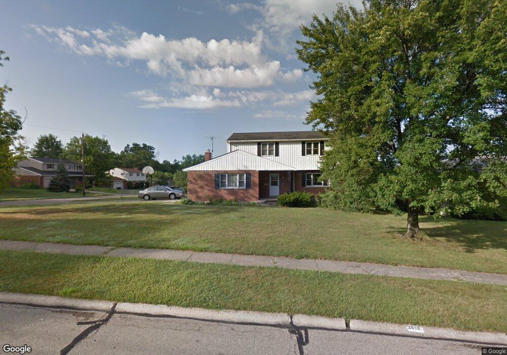
3619 Oakmeadow Ln Cincinnati, OH 45247
Estimated Value: $285,892 - $338,000
4
Beds
3
Baths
1,850
Sq Ft
$172/Sq Ft
Est. Value
About This Home
This home is located at 3619 Oakmeadow Ln, Cincinnati, OH 45247 and is currently estimated at $317,973, approximately $171 per square foot. 3619 Oakmeadow Ln is a home located in Hamilton County with nearby schools including White Oak Middle School, Colerain High School, and Our Lady of Grace Catholic School.
Ownership History
Date
Name
Owned For
Owner Type
Purchase Details
Closed on
Oct 30, 2020
Sold by
Niehaus Steve A and Niehaus Theresa L
Bought by
Niehaus Jeffrey and Niehaus Elizabeth
Current Estimated Value
Home Financials for this Owner
Home Financials are based on the most recent Mortgage that was taken out on this home.
Original Mortgage
$150,000
Interest Rate
2.8%
Mortgage Type
New Conventional
Create a Home Valuation Report for This Property
The Home Valuation Report is an in-depth analysis detailing your home's value as well as a comparison with similar homes in the area
Home Values in the Area
Average Home Value in this Area
Purchase History
| Date | Buyer | Sale Price | Title Company |
|---|---|---|---|
| Niehaus Jeffrey | $187,500 | Old Town Title Agency |
Source: Public Records
Mortgage History
| Date | Status | Borrower | Loan Amount |
|---|---|---|---|
| Closed | Niehaus Jeffrey | $150,000 |
Source: Public Records
Tax History
| Year | Tax Paid | Tax Assessment Tax Assessment Total Assessment is a certain percentage of the fair market value that is determined by local assessors to be the total taxable value of land and additions on the property. | Land | Improvement |
|---|---|---|---|---|
| 2025 | $4,800 | $83,311 | $16,800 | $66,511 |
| 2023 | $4,476 | $83,311 | $16,800 | $66,511 |
| 2022 | $4,308 | $65,405 | $16,601 | $48,804 |
| 2021 | $4,271 | $65,405 | $16,601 | $48,804 |
| 2020 | $4,316 | $65,405 | $16,601 | $48,804 |
| 2019 | $3,730 | $52,746 | $13,388 | $39,358 |
| 2018 | $3,346 | $52,746 | $13,388 | $39,358 |
| 2017 | $3,170 | $52,746 | $13,388 | $39,358 |
| 2016 | $3,145 | $51,657 | $14,175 | $37,482 |
| 2015 | $3,176 | $51,657 | $14,175 | $37,482 |
| 2014 | $3,182 | $51,657 | $14,175 | $37,482 |
| 2013 | $3,028 | $51,657 | $14,175 | $37,482 |
Source: Public Records
Map
Nearby Homes
- 8261 Cheviot Rd
- 3633 Twinview Dr
- 8530 Wuest Rd
- 8747 Cheviot Rd
- 3691 W Galbraith Rd
- 3937 Olde Savannah Dr Unit 3937
- 3701 W Galbraith Rd
- 3693 W Galbraith Rd
- 3950 Olde Savannah Dr
- 3970 Olde Savannah Dr
- 3408 Rocker Dr
- 8877 Wuest Rd
- 3397 Nandale Dr
- 3798 Philnoll Dr
- 3269 Warfield Ave
- 9111 Cobblechase Ct
- 3494 Poole Rd
- 3336 Nandale Dr
- 4095 Philnoll Dr
- 9126 Round Top Rd
- 3625 Oakmeadow Ln
- 8439 Ashhollow Dr
- 8448 Ashhollow Dr
- 3626 Ashhill Ct
- 3633 Oakmeadow Ln
- 8442 Ashhollow Dr
- 3612 Oakmeadow Ln
- 3624 Oakmeadow Ln
- 3632 Ashhill Ct
- 3618 Oakmeadow Ln
- 8436 Ashhollow Dr
- 3628 Oakmeadow Ln
- 3641 Oakmeadow Ln
- 8457 Cheviot Rd
- 8481 Cheviot Rd
- 8430 Ashhollow Dr
- 3634 Oakmeadow Ln
- 8445 Cheviot Rd
- 3638 Ashhill Ct
- 3621 Ashhill Ct
Your Personal Tour Guide
Ask me questions while you tour the home.