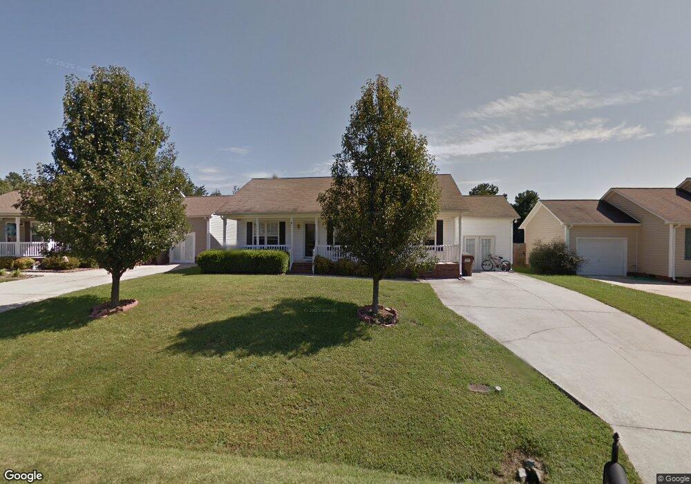
3619 Southpark Dr High Point, NC 27263
Greater High Point NeighborhoodEstimated Value: $244,420 - $275,000
3
Beds
2
Baths
1,446
Sq Ft
$181/Sq Ft
Est. Value
About This Home
This home is located at 3619 Southpark Dr, High Point, NC 27263 and is currently estimated at $261,855, approximately $181 per square foot. 3619 Southpark Dr is a home located in Guilford County with nearby schools including Allen Jay Elementary School, Southern Guilford Middle, and Southern Guilford High School.
Ownership History
Date
Name
Owned For
Owner Type
Purchase Details
Closed on
Jun 25, 2004
Sold by
Burchette Michael Todd and Burchette Amy Leigh
Bought by
Nguyen Cuong
Current Estimated Value
Purchase Details
Closed on
Dec 30, 1999
Sold by
Southpark Llc
Bought by
Burchette Michael Todd and Burchette Amy Leigh
Home Financials for this Owner
Home Financials are based on the most recent Mortgage that was taken out on this home.
Original Mortgage
$112,168
Interest Rate
7.68%
Mortgage Type
FHA
Create a Home Valuation Report for This Property
The Home Valuation Report is an in-depth analysis detailing your home's value as well as a comparison with similar homes in the area
Home Values in the Area
Average Home Value in this Area
Purchase History
| Date | Buyer | Sale Price | Title Company |
|---|---|---|---|
| Nguyen Cuong | $113,500 | -- | |
| Burchette Michael Todd | $112,500 | -- |
Source: Public Records
Mortgage History
| Date | Status | Borrower | Loan Amount |
|---|---|---|---|
| Previous Owner | Burchette Michael Todd | $112,168 |
Source: Public Records
Tax History Compared to Growth
Tax History
| Year | Tax Paid | Tax Assessment Tax Assessment Total Assessment is a certain percentage of the fair market value that is determined by local assessors to be the total taxable value of land and additions on the property. | Land | Improvement |
|---|---|---|---|---|
| 2025 | $2,372 | $172,100 | $34,500 | $137,600 |
| 2024 | $2,372 | $172,100 | $34,500 | $137,600 |
| 2023 | $2,372 | $172,100 | $34,500 | $137,600 |
| 2022 | $2,320 | $172,100 | $34,500 | $137,600 |
| 2021 | $1,636 | $118,700 | $17,000 | $101,700 |
| 2020 | $1,636 | $118,700 | $17,000 | $101,700 |
| 2019 | $1,636 | $118,700 | $0 | $0 |
| 2018 | $1,628 | $118,700 | $0 | $0 |
| 2017 | $1,628 | $118,700 | $0 | $0 |
| 2016 | $1,759 | $125,400 | $0 | $0 |
| 2015 | $1,768 | $125,400 | $0 | $0 |
| 2014 | $1,798 | $125,400 | $0 | $0 |
Source: Public Records
Map
Nearby Homes
- 1846 Sechrest Cir
- 1103 Pegram Ave
- 2716 Allen Jay Rd
- 2616 Ingram Rd
- 2708 Ernest St
- 914 Nance Ave
- 706 E Fairfield Rd
- 510 Aldridge Rd
- 600 E Fairfield Rd
- 1640 Kersey Valley Rd
- 926 Norton St
- 921 Norton St
- 10812, 10822, 10828 N Main St
- 10844 N Main St
- 825 Hopewell St
- 2719 Granville St
- 302 Brittany Way
- 1843 Weant Rd
- 3813 Salisbury St
- 105 Oak Ridge Dr
- 3621 Southpark Dr
- 205 Brighton Village Ln
- 207 Brighton Village Ln
- 3623 Southpark Dr
- 3615 Southpark Dr
- 203 Brighton Village Ln
- 3625 Southpark Dr
- 209 Brighton Village Ln
- 3618 Southpark Dr
- 3620 Southpark Dr
- 3613 Southpark Dr
- 3622 Southpark Dr
- 3614 Southpark Dr
- 104 Gracie Ct
- 206 Brighton Village Ln
- 3624 Southpark Dr
- 102 Gracie Ct
- 3627 Southpark Dr
- 3611 Southpark Dr
- 211 Brighton Village Ln