362 Ashby Cemetery Rd Oakland, MD 21550
Estimated Value: $218,000 - $296,724
--
Bed
--
Bath
2,312
Sq Ft
$110/Sq Ft
Est. Value
About This Home
This home is located at 362 Ashby Cemetery Rd, Oakland, MD 21550 and is currently estimated at $253,181, approximately $109 per square foot. 362 Ashby Cemetery Rd is a home located in Garrett County with nearby schools including Crellin Elementary School, Southern Middle School, and Southern Garrett High School.
Ownership History
Date
Name
Owned For
Owner Type
Purchase Details
Closed on
Jan 17, 2020
Sold by
Stevens Melody
Bought by
Crellin United Methodist Church
Current Estimated Value
Purchase Details
Closed on
Mar 19, 2012
Sold by
Morrow Michael J and Stevens Melody D
Bought by
Morros Michael J
Purchase Details
Closed on
Jan 29, 2008
Sold by
Ashby Thomas D
Bought by
Morrow Michael J and Stevens Melody D
Purchase Details
Closed on
May 10, 2007
Sold by
Ashby Thomas D
Bought by
Morrow Michael J and Stevens Melody
Create a Home Valuation Report for This Property
The Home Valuation Report is an in-depth analysis detailing your home's value as well as a comparison with similar homes in the area
Home Values in the Area
Average Home Value in this Area
Purchase History
| Date | Buyer | Sale Price | Title Company |
|---|---|---|---|
| Crellin United Methodist Church | -- | None Available | |
| Morrow Michael J | -- | None Available | |
| Morros Michael J | -- | None Available | |
| Morrow Michael J | $158,000 | -- | |
| Morrow Michael J | $128,043 | -- |
Source: Public Records
Mortgage History
| Date | Status | Borrower | Loan Amount |
|---|---|---|---|
| Closed | Morrow Michael J | -- |
Source: Public Records
Tax History Compared to Growth
Tax History
| Year | Tax Paid | Tax Assessment Tax Assessment Total Assessment is a certain percentage of the fair market value that is determined by local assessors to be the total taxable value of land and additions on the property. | Land | Improvement |
|---|---|---|---|---|
| 2025 | $2,003 | $185,300 | $53,100 | $132,200 |
| 2024 | $1,981 | $173,700 | $0 | $0 |
| 2023 | $1,897 | $162,100 | $0 | $0 |
| 2022 | $1,788 | $150,500 | $44,100 | $106,400 |
| 2021 | $1,786 | $150,300 | $0 | $0 |
| 2020 | $1,783 | $150,100 | $0 | $0 |
| 2019 | $1,582 | $132,900 | $27,100 | $105,800 |
| 2018 | $1,494 | $132,900 | $27,100 | $105,800 |
| 2017 | $1,495 | $132,900 | $0 | $0 |
| 2016 | -- | $132,900 | $0 | $0 |
| 2015 | -- | $132,900 | $0 | $0 |
| 2014 | -- | $132,900 | $0 | $0 |
Source: Public Records
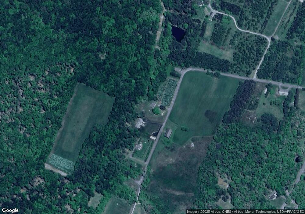
Map
Nearby Homes
- 0 Yough View Dr Unit 12 MDGA2009840
- 968 Hutton Rd
- 104 Pine Top Trail
- Lot 38 & 39 Hemlock Ridge Rd
- 3893 Underwood Rd
- Lot 7 Cherry Wood Ln
- 73 Maple Alley
- 0 Sanders Ln Unit MDGA2009314
- 5202 Hutton Rd
- 697 Monte Vista Rd
- 627 Hamill St
- lots 7 & 8 (2.57 ac) Valley Rd
- Lot 5A Valley Rd
- 33213 Veterans Memorial Hwy
- 503 E Alder St
- 611 E Oak St
- 511 E Green St
- 27424 George Washington Hwy
- 0 Sam Snead Cir Unit 1 MDGA2010358
- 0 Crosby Dr Unit 64/65
- 362 Ashby Cemetery Rd
- 412 Ashby Cemetery Rd
- 0 Ashby Cemetery Rd
- 294 Ashby Cemetery Rd
- 156 Ashby Cemetery Rd
- 93 Ashby Cemetery Rd
- 871 Crellin Underwood Rd
- 989 Crellin Underwood Rd
- 893 Crellin Underwood Rd
- 1083 Crellin Underwood Rd
- 21 Shady Hill Dr
- 928 Crellin Underwood Rd
- 1000 Crellin Underwood Rd
- 1084 Crellin Underwood Rd
- 34 Shady Hill Dr
- 664 Crellin Mine Rd
- 702 Crellin Mine Rd
- 22 Shady Hill Dr
- 704 Crellin Mine Rd
- 1106 Crellin Underwood Rd