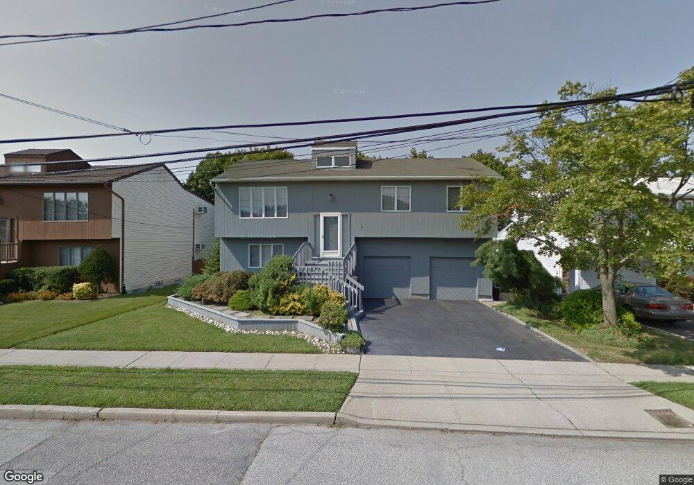
362 Buckingham Rd Cedarhurst, NY 11516
Estimated Value: $1,799,454 - $2,860,000
3
Beds
3
Baths
2,000
Sq Ft
$1,165/Sq Ft
Est. Value
About This Home
This home is located at 362 Buckingham Rd, Cedarhurst, NY 11516 and is currently estimated at $2,329,727, approximately $1,164 per square foot. 362 Buckingham Rd is a home located in Nassau County with nearby schools including Lawrence Primary School, Lawrence Elementary School, and Lawrence Middle School.
Ownership History
Date
Name
Owned For
Owner Type
Purchase Details
Closed on
Aug 23, 2018
Sold by
362 Buckingham Llc
Bought by
Buckingham Place Llc
Current Estimated Value
Purchase Details
Closed on
May 2, 2017
Sold by
Rosenthal Sanford and Rosenthal Doris
Bought by
362 Buckingham Llc
Home Financials for this Owner
Home Financials are based on the most recent Mortgage that was taken out on this home.
Original Mortgage
$700,000
Interest Rate
4.1%
Mortgage Type
Purchase Money Mortgage
Create a Home Valuation Report for This Property
The Home Valuation Report is an in-depth analysis detailing your home's value as well as a comparison with similar homes in the area
Home Values in the Area
Average Home Value in this Area
Purchase History
| Date | Buyer | Sale Price | Title Company |
|---|---|---|---|
| Buckingham Place Llc | $1,626,480 | Fidelity National Title | |
| 362 Buckingham Llc | $660,000 | The Judicial Title Insurance |
Source: Public Records
Mortgage History
| Date | Status | Borrower | Loan Amount |
|---|---|---|---|
| Previous Owner | 362 Buckingham Llc | $700,000 |
Source: Public Records
Tax History
| Year | Tax Paid | Tax Assessment Tax Assessment Total Assessment is a certain percentage of the fair market value that is determined by local assessors to be the total taxable value of land and additions on the property. | Land | Improvement |
|---|---|---|---|---|
| 2025 | $12,715 | $1,279 | $319 | $960 |
| 2024 | $3,881 | $1,272 | $317 | $955 |
Source: Public Records
Map
Nearby Homes
- 324 Buckingham Rd
- 366 Carvel Ave
- 347 Roselle Ave
- 335 Peninsula Blvd
- 302 Carvel Ave
- 449 Argyle Rd
- 558 Oxford Rd
- 536 Albemarle Rd
- 467 W Broadway
- 548 Albemarle Rd
- 288 Leroy Ave
- 559 Arlington Place
- 23 Park Ave
- 227 Randall Ave
- 544 Arlington Rd
- 523 Bayview Ave
- 508 Monroe St
- 461 5th Ave
- 422 Cedarhurst Ave
- 487 5th Ave
- 352 Buckingham Rd
- 368 Buckingham Rd
- 363 Marlborough Rd
- 363 Marlborough Rd
- 359 Marlborough Rd
- 372 Buckingham Rd
- 355 Marlborough Rd
- 369 Marlborough Rd
- 344 Buckingham Rd
- 357 Buckingham Rd
- 345 Marlborough Rd
- 369 Buckingham Rd
- 361 Buckingham Rd
- 375 Marlborough Rd
- 420 Adelberg Ln
- 435 Oxford Rd
- 373 Buckingham Rd
- 330 Buckingham Rd
- 447 Oxford Rd
- 360 Marlborough Rd
Your Personal Tour Guide
Ask me questions while you tour the home.