362 Campground Rd Pittston, PA 18643
Estimated Value: $155,000 - $311,000
--
Bed
--
Bath
1,671
Sq Ft
$144/Sq Ft
Est. Value
About This Home
This home is located at 362 Campground Rd, Pittston, PA 18643 and is currently estimated at $240,693, approximately $144 per square foot. 362 Campground Rd is a home with nearby schools including Wyoming Area Secondary Center.
Ownership History
Date
Name
Owned For
Owner Type
Purchase Details
Closed on
Jul 2, 2009
Sold by
Soboleski Virginia
Bought by
Soboleski Virginia
Current Estimated Value
Home Financials for this Owner
Home Financials are based on the most recent Mortgage that was taken out on this home.
Original Mortgage
$113,500
Interest Rate
5.58%
Mortgage Type
New Conventional
Create a Home Valuation Report for This Property
The Home Valuation Report is an in-depth analysis detailing your home's value as well as a comparison with similar homes in the area
Home Values in the Area
Average Home Value in this Area
Purchase History
| Date | Buyer | Sale Price | Title Company |
|---|---|---|---|
| Soboleski Virginia | -- | None Available |
Source: Public Records
Mortgage History
| Date | Status | Borrower | Loan Amount |
|---|---|---|---|
| Closed | Soboleski Virginia | $113,500 |
Source: Public Records
Tax History Compared to Growth
Tax History
| Year | Tax Paid | Tax Assessment Tax Assessment Total Assessment is a certain percentage of the fair market value that is determined by local assessors to be the total taxable value of land and additions on the property. | Land | Improvement |
|---|---|---|---|---|
| 2025 | $4,985 | $171,800 | $41,700 | $130,100 |
| 2024 | $4,765 | $171,800 | $41,700 | $130,100 |
| 2023 | $4,446 | $171,800 | $41,700 | $130,100 |
| 2022 | $4,414 | $171,800 | $41,700 | $130,100 |
| 2021 | $4,353 | $171,800 | $41,700 | $130,100 |
| 2020 | $4,250 | $171,800 | $41,700 | $130,100 |
| 2019 | $4,129 | $171,800 | $41,700 | $130,100 |
| 2018 | $3,990 | $171,800 | $41,700 | $130,100 |
| 2017 | $3,900 | $171,800 | $41,700 | $130,100 |
| 2016 | -- | $171,800 | $41,700 | $130,100 |
| 2015 | -- | $171,800 | $41,700 | $130,100 |
| 2014 | -- | $171,800 | $41,700 | $130,100 |
Source: Public Records
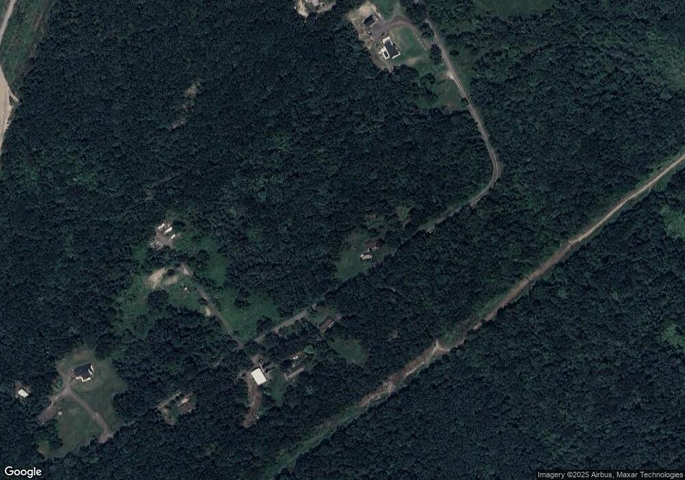
Map
Nearby Homes
- 633 Campground Rd
- 41 Gashi Rd
- 1523 W 8th St
- 5 Rowlands Ln
- 436 W 4th St
- 43 Hill St
- 282 Birchwood Ct
- 1946 Wyoming Ave Unit 193
- 1946 Wyoming Ave Unit 197
- 162 Birchwood Village Estates
- 253 Birchwood Ct
- 213 Cedar St
- 750 Slocum Ave
- 40-42 E 3rd St
- 132 Penn Ave
- 2 Barber St
- 535 Cherry Dr
- 215 Bennett St
- 121 Penn Ave
- 54 Grant St
- 721 Campground Rd
- 742 Campground Rd
- 376 Campground Rd
- 14 Campground Rd
- 373 Campground Rd
- 665 Campground Rd
- 659 Campground Rd
- 397 Campground Rd
- 381 Campground Rd
- 386 Campground Rd
- 358 Campground Rd
- 390 Campground Rd
- 356 Campground Rd
- 354 Campground Rd
- 16 Gashi Rd
- 640 Campground Rd
- 631 Campground Rd
- 384 Rr 4
- 634 Campground Rd
- 385 Rr 4